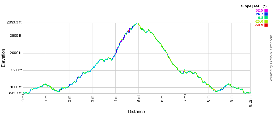
A surprisingly difficult 10-mile, 2,700ft elevation-gain hike in the western Santa Monica mountains.
I drove out to Newbury Park to hike a loop route up the Western Ridge Trail and down the Upper Cabin Trail. Today was a heavily overcast day, and the upper portion of this route was so foggy that I could not see anything more than ~50 feet away.
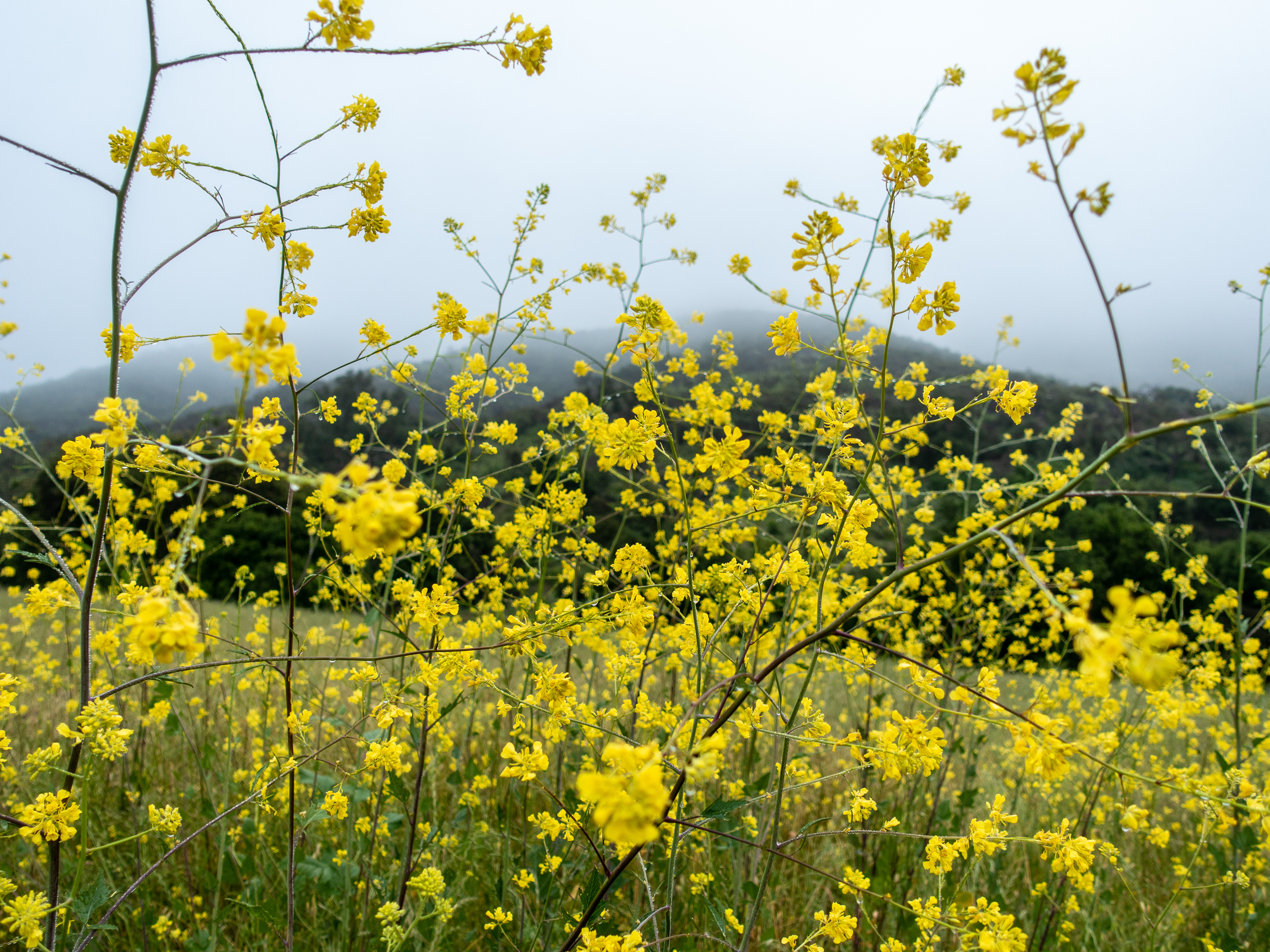
The first couple miles were an easy walk through flower-covered hills during this spring’s super bloom following a wet winter.

Nightshade (purple) and Ragwort (yellow) 
Recovering from a wildfire
The Western Ridge trail is heavily overgrown and difficult to find at times. The brush is well-adapted to capture moisture from the fog, so soon I was wet (and cold) from passing through.

I missed that this is a “mountaineers” route, and was unprepared for steep class-three+ scrambling in my trail runners.
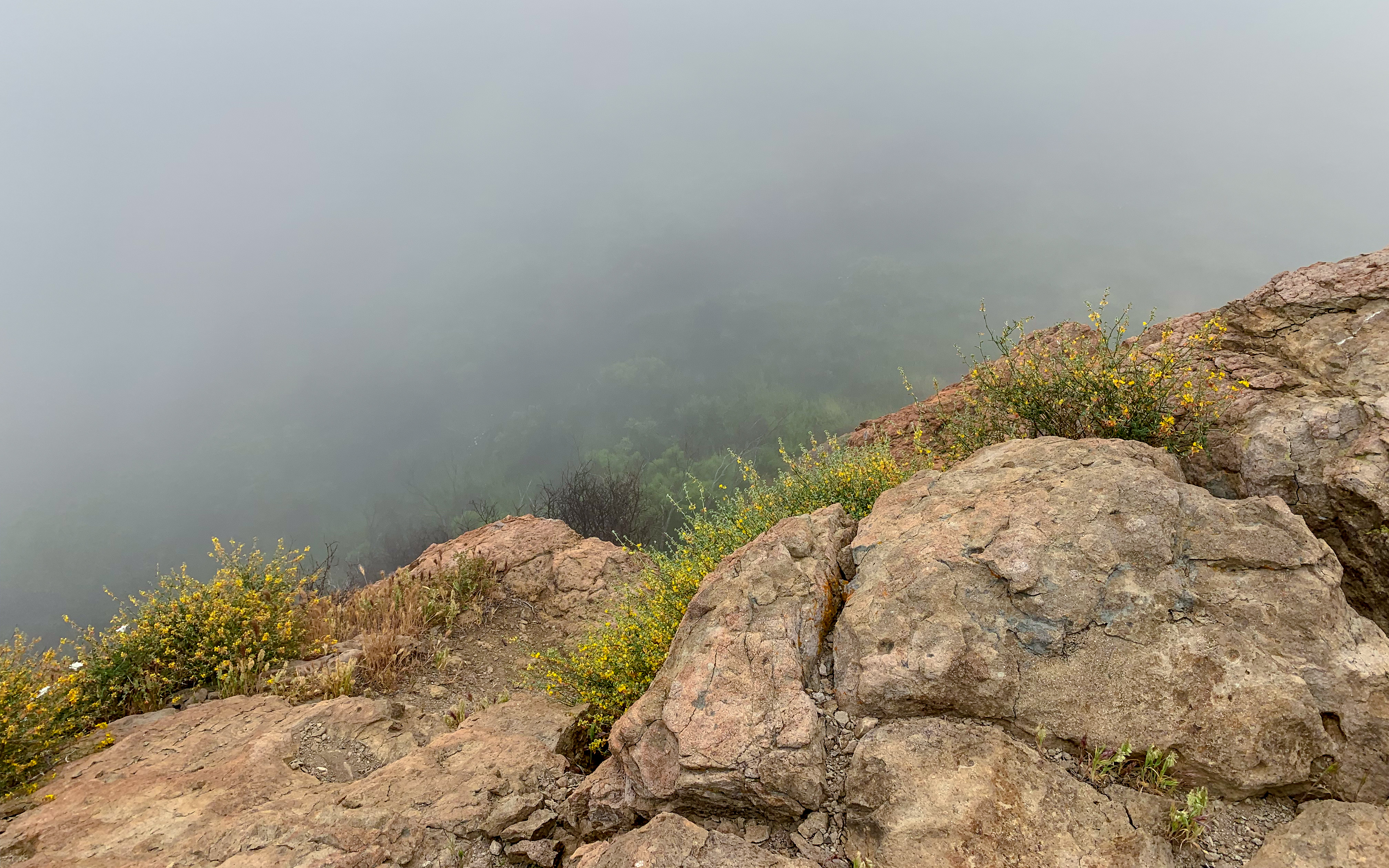
There was no view whatsoever today from the top due to the fog. The route down the Upper Cabin trail was much easier; however, the trail was heavily washed out in places (at times just a narrow trench).
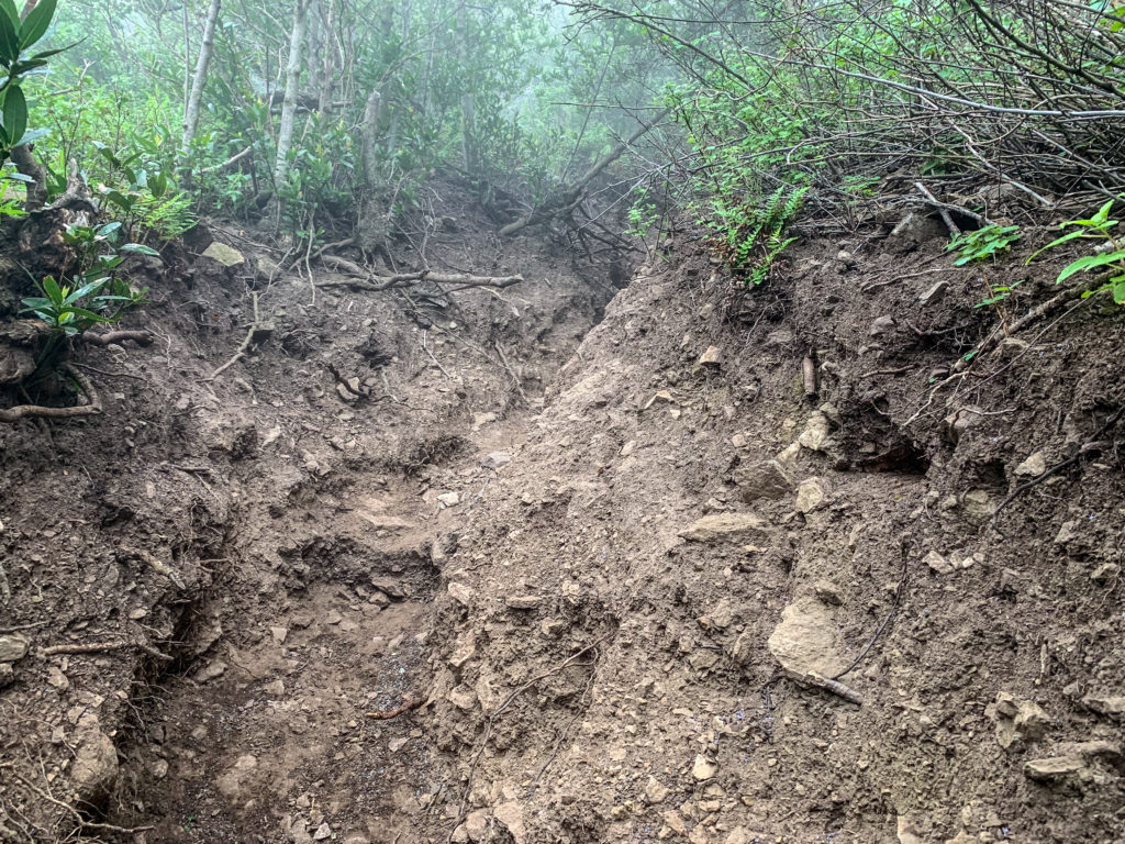
Washed out wreck of a trail 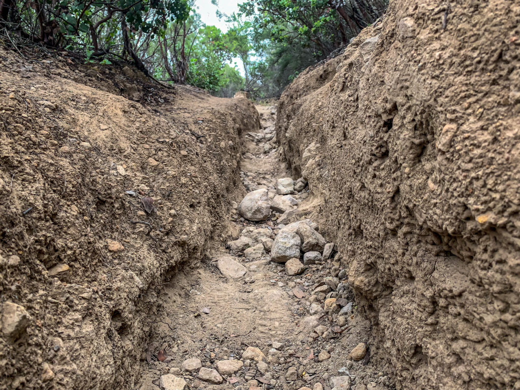
Trench warfare
It was also so overgrown that I had to stoop over most of the way down to avoid low-hanging branches. At last, I came to the Danielson monument and it was an easy walk out from there.

Ragwort 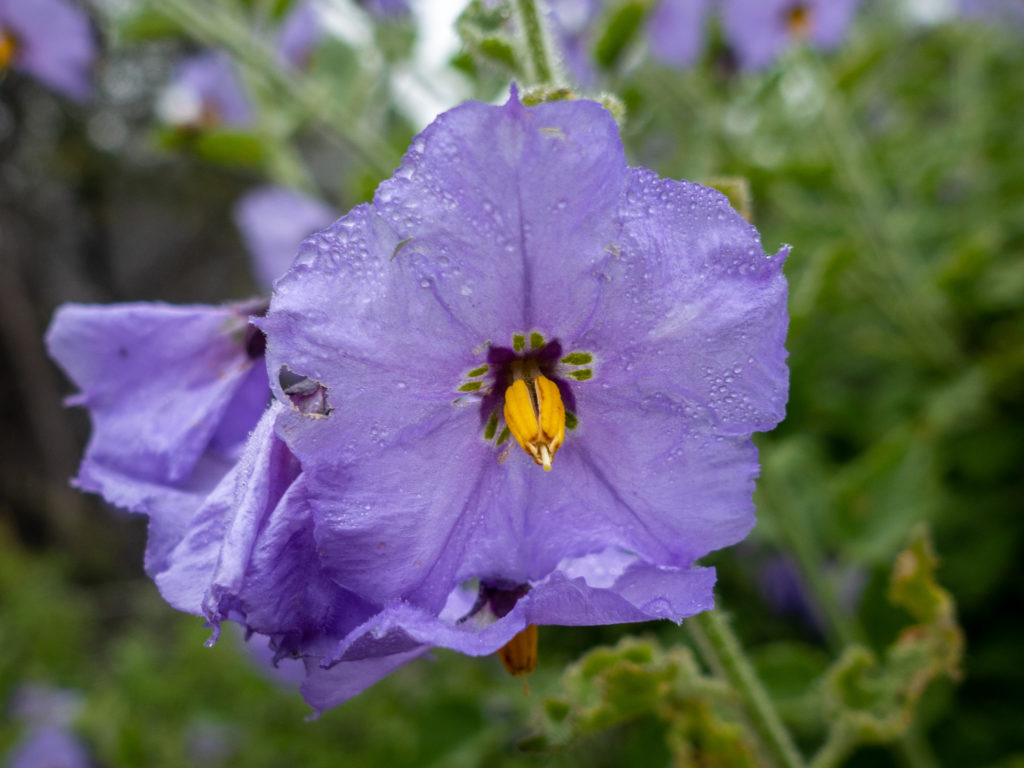
NIghtshade 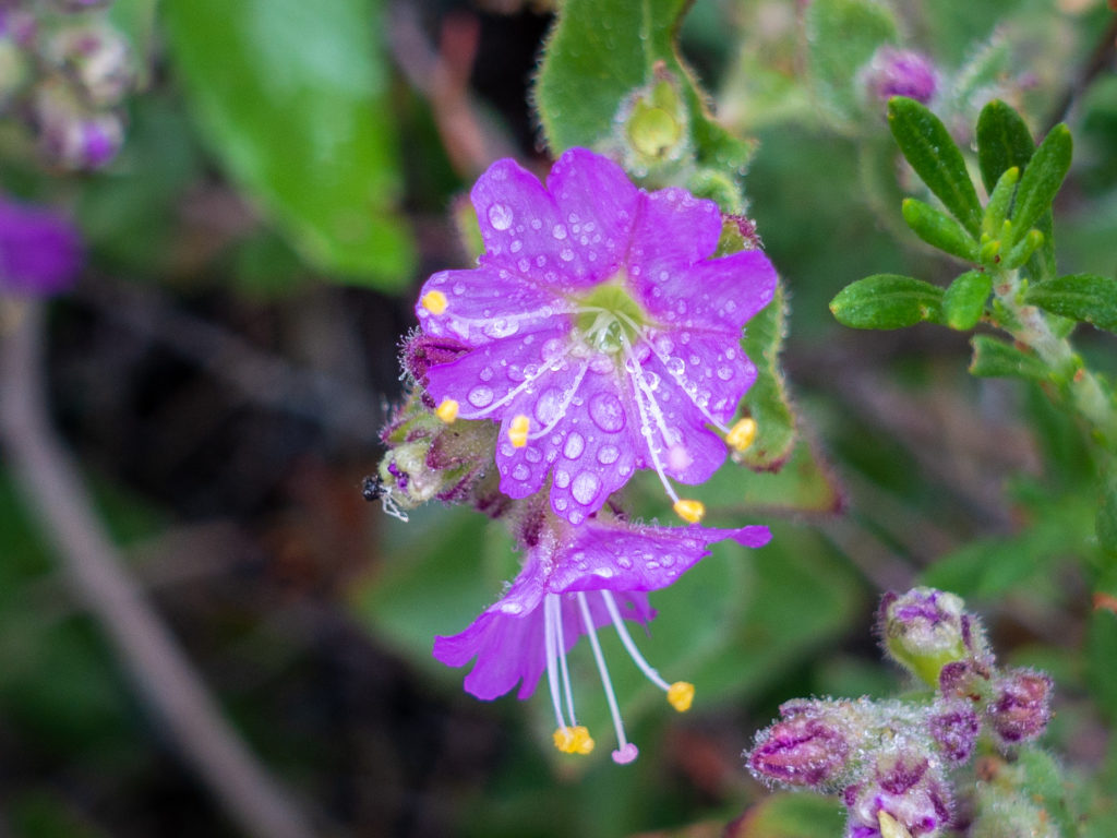
Four O’Clock 
Larkspur 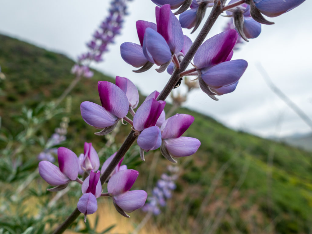
Lupines
I might do this again on a clear day for the view, despite the nasty condition of the trail.