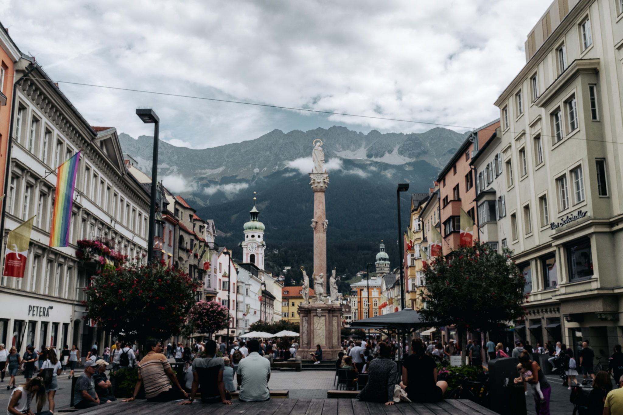
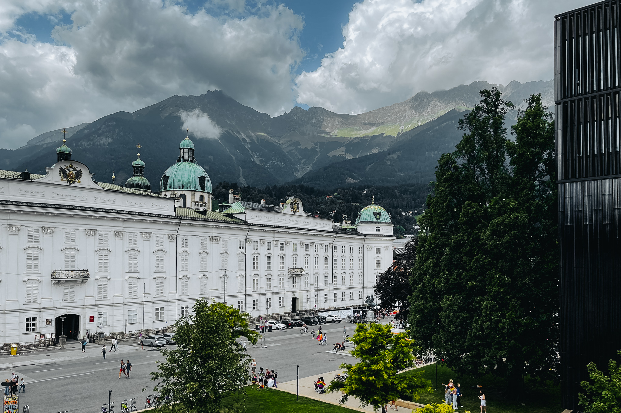
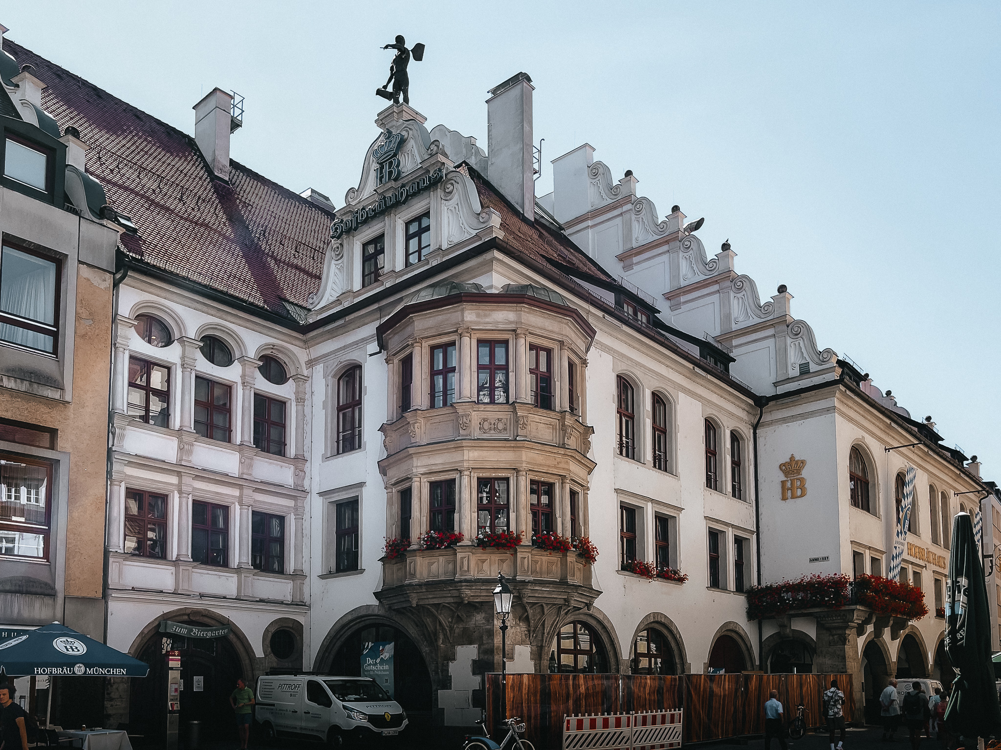
I traveled to Austria for 11 days of hiking in the Alps and a couple of days of sightseeing in München (Munich).
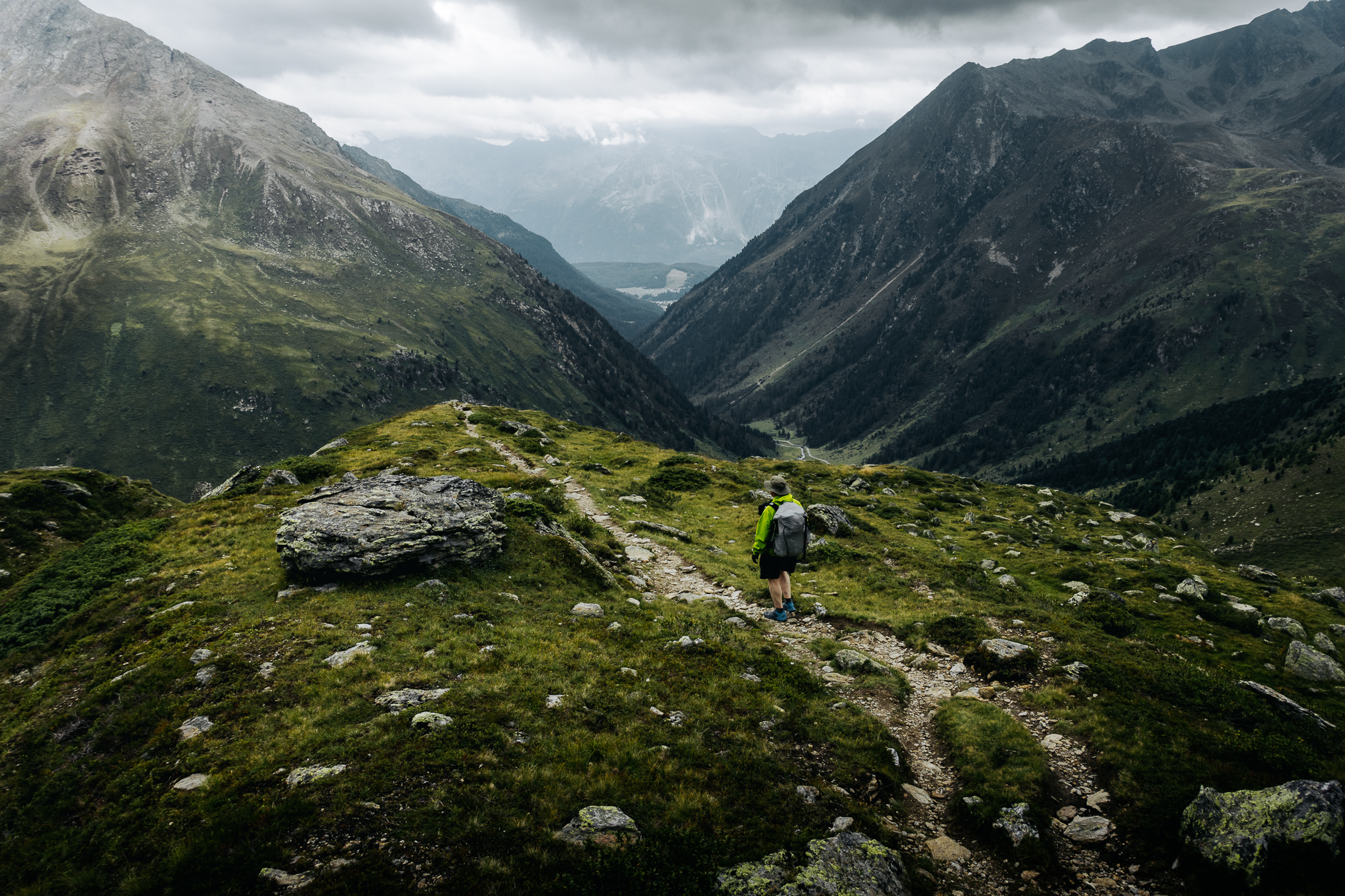
My friend Allan and I joined up in Munich to hike hut-to-hut on the Stubai Höhenweg (high trail) and through the Sellrain Berge in the northwest Stubai Alps, and then back to Munich for a couple of days before flying back to the US.
Distance
miles
Elevation Gain
feet
Time
days
Interactive map – click map controls to zoom in/out
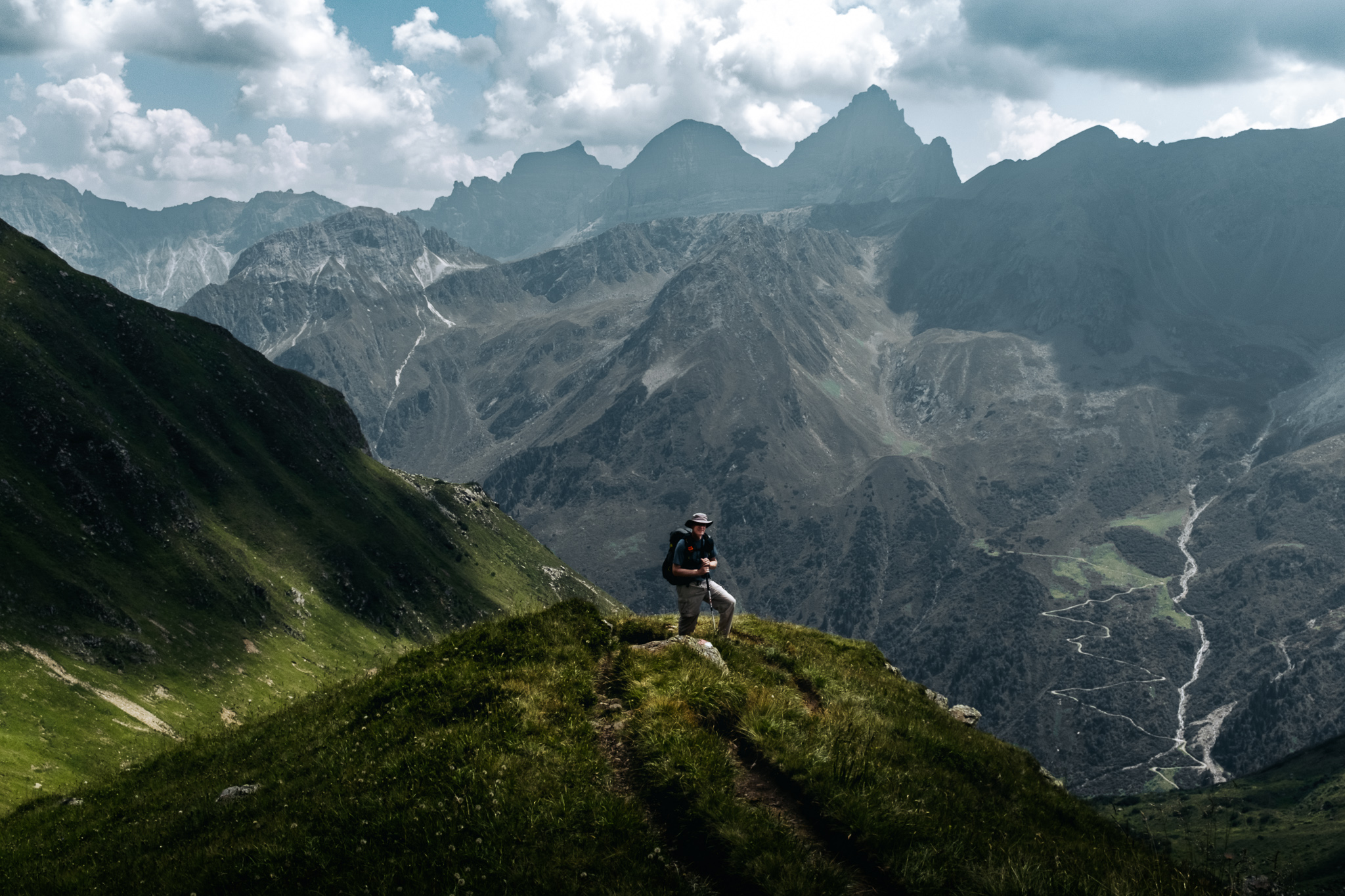
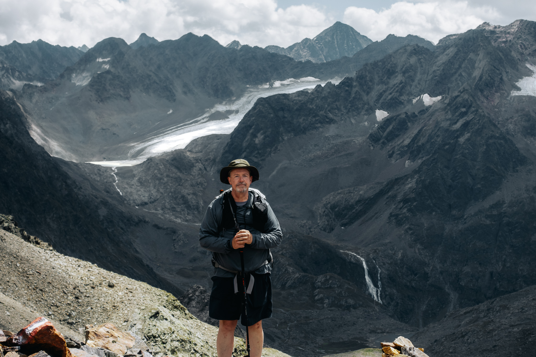
I researched and planned two routes; the famous Stubai Höhenweg, and the other through the Sellrain Berge (mountains) to the northwest of the first route. The Stubai Höhenweg is around an hour south of Innsbruck, and the Sellrain route further to the west. Both routes offer comfortable huts in which to overnight, plus a high pass to summit each day and loads of gorgeous alpine scenery.
This part of Austria sees few international tourists; mostly just Germans on weekends or summer vacation, but we did encounter a few Dutch people. The trails were uncrowded, and we encountered very few native-English speakers.
The European alpine huts provide cooked meals and beds, so no need to carry shelter, cooking gear, sleeping bag and pad, or any food beyond lunch and snacks for a day. We carried only light packs with water, clothing, gear, and some personal effects.
Many of the photos here were shot on my Fujifilm x100v, some by Allan on my Sony RX100 iii, and the remainder by Allan or I on our phones. I edited all in Lightroom. All photos are also viewable on Flickr – look for Austrian Alps 2022.
I created the interactive maps (the ones you can zoom in/out and are more green and white colors) using the API from the Verwaltungsgrundkarte von Österreich (Administrative base map of Austria). I created the “static” maps of each route (more tan/orange colors) using QGIS cartography software and exported these as static images (high-res PDF versions available upon request).