The Erich Endriss Weg is a ridge-top trail from Gaschurn to the Tübinger Hütte with stunning views into deep valleys and tall peaks in the Silvretta Alps of Austria.
Distance
miles
Elev Gain
feet
Elev Loss
feet
Time
hours
Click markers on map for more info

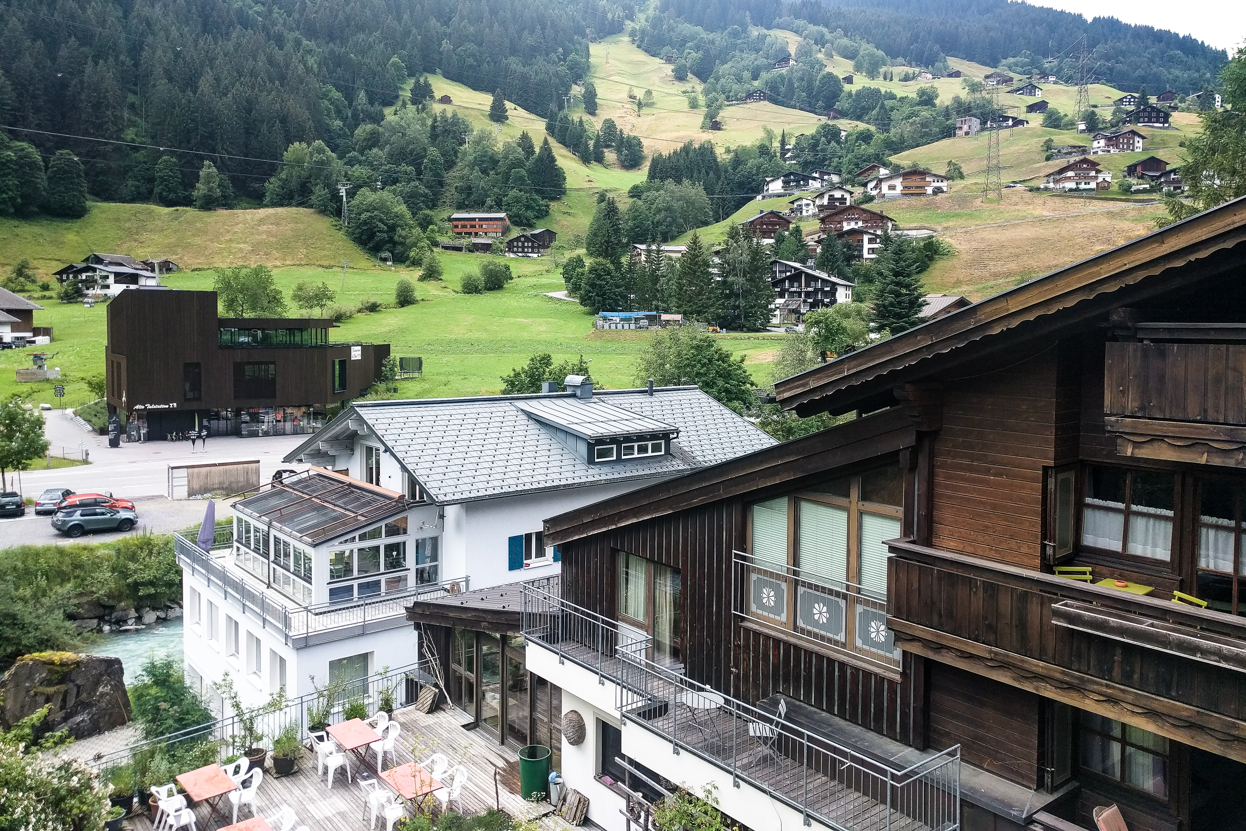
We enjoyed a good night’s sleep at the charming Hotel Monika in Gaschurn (ga-SHOO-ren) in the Montafon valley after the long trip from the US yesterday. Breakfast today consisted, as it will every day in Austria, of plain yogurt and granola (with cornflakes), ham and cheese slices, Kaiser rolls, butter and jam, and coffee.
The Versettlabahn talstation (bottom station) is just out of view to the left.
After checking out of the hotel we walked across the Montafonerstraße (street) to the Versettla Bahn gondola for a ride up nearly 1,400m (4,500ft) to the start today’s hike.

the trail to the Tübinger Hütte.
We stopped at the Mittelstation (middle station) to take pictures of the valley below and peaks above and then reboarded to the top (after waiting a while for a gondola car with space available).

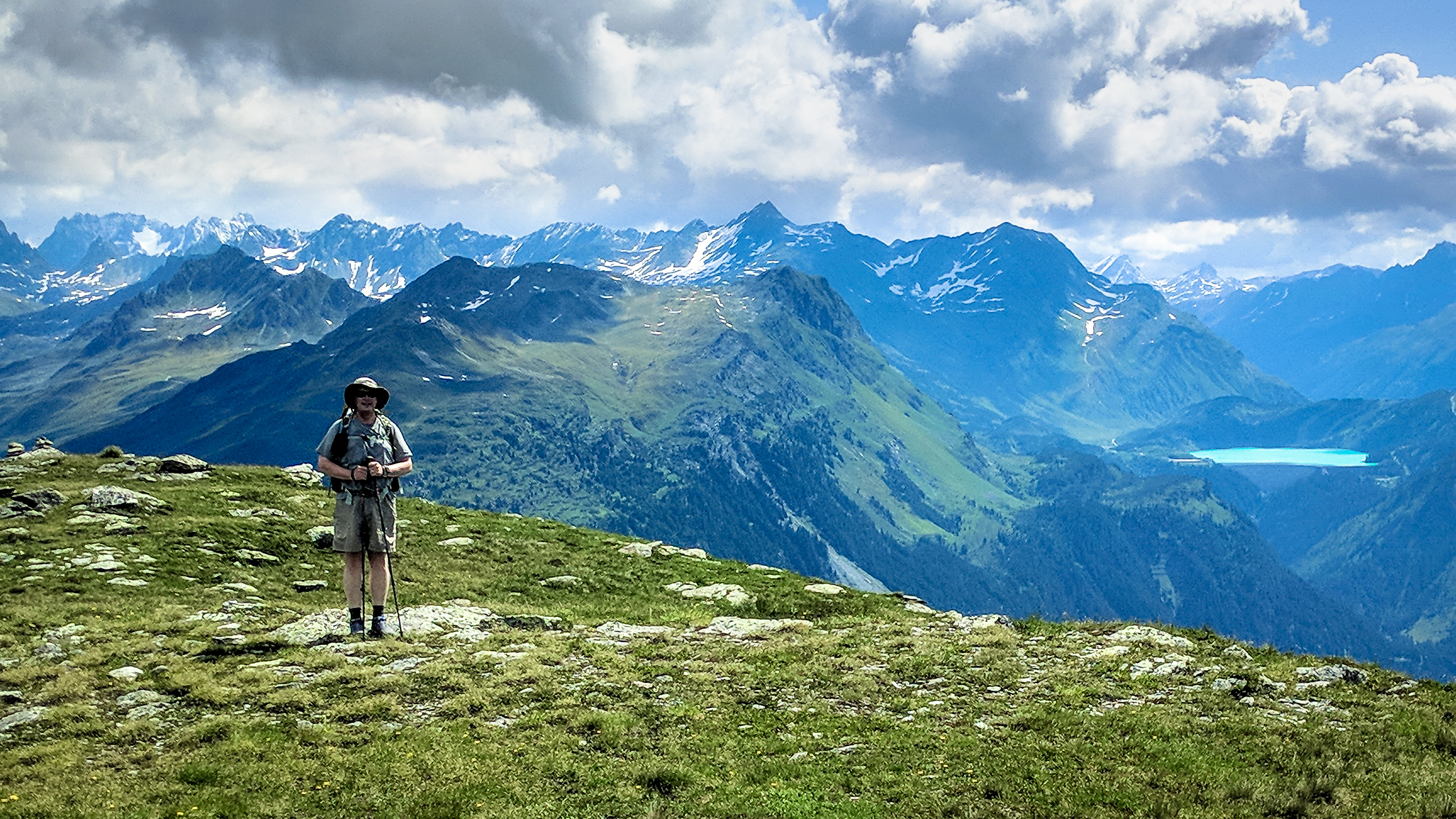
After finding water for my pack, we started hiking up the Erich Endriss Weg trail behind the gondola station in perfect t-shirt & shorts weather. The trail climbed somewhat steeply up to a small plateau below the 2,370m Versettla peak where we took a short break and a few pictures.
with the Kops Stausee (reservoir) behind.
Past the Versettla we came to a junction with a side trail to the 2,466m Madrisella.

After a brief debate (I lost) we took the side trail up the Madrisella.

Up to the summit.

On the way down we heard a horn playing and then saw a man playing an alphorn on top of another small peak. No idea how he lugged that instrument so far out into the mountains, but it sure was a beautiful sound.

Beautiful music miles away from the trailhead.
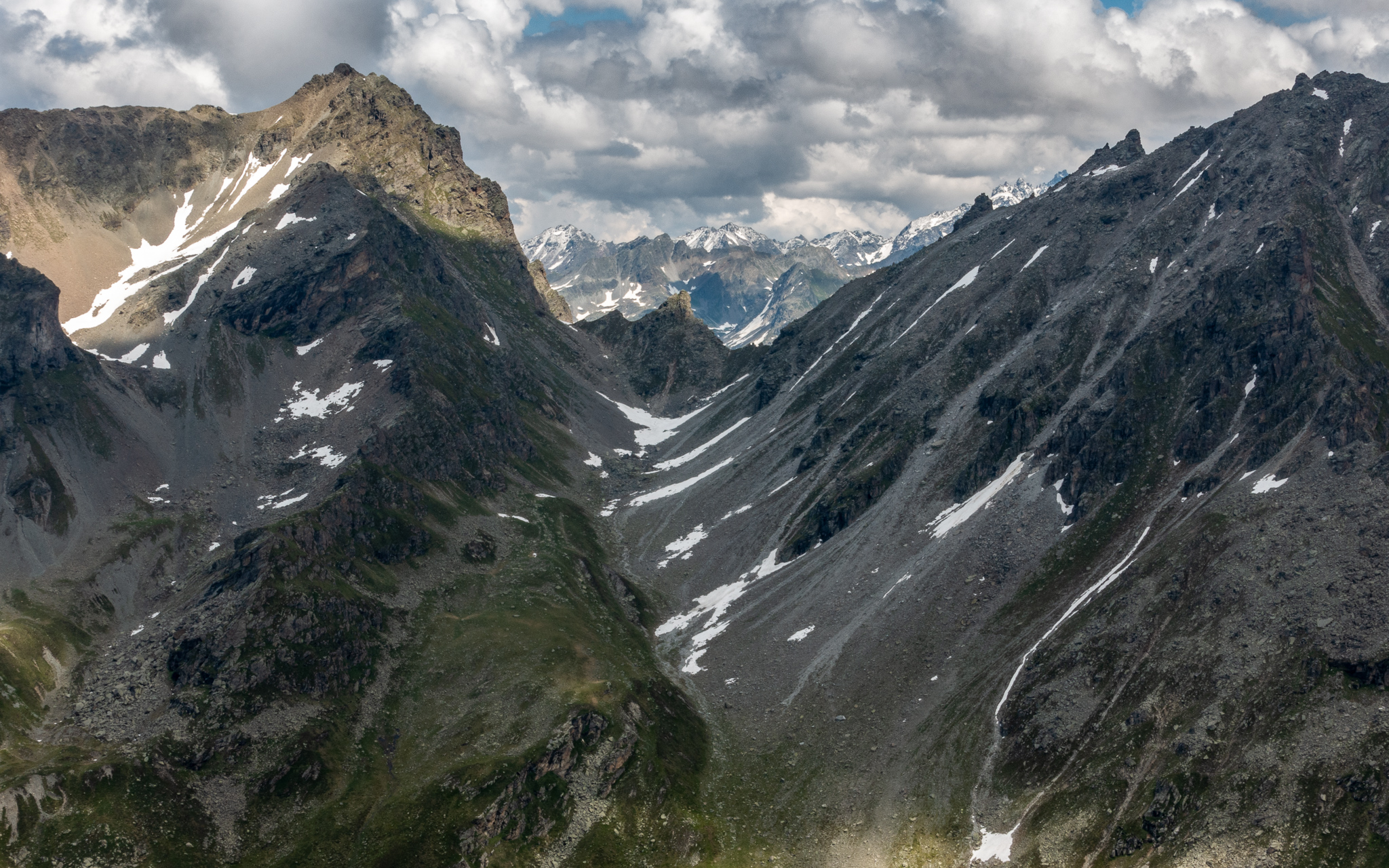
We took another short break at the 2,423m Matschuner Joch where I donned a long-sleeve t-shirt due to cooler weather in the afternoon as the clouds thickened. The trail continued onward and mostly upward, but with occasional downhill sections as well. We came to a high point at the 2,550m Vorderberg overlooking the trail down to the 2,515m Vergaldner Joch and the Tübinger Hütte beyond and took a few pictures and panoramas.

The Vergaldner Joch lies below, from where begins the descent to the Tübinger Hütte to the left.
From the Vorderberg we could see across the Garnera valley to the Hochmaderer Joch, an alternate route we are considering for tomorrow’s crossing over to the Saarbrücker Hütte.
360º panorama from the Vorderberg (click and drag to pan and zoom)
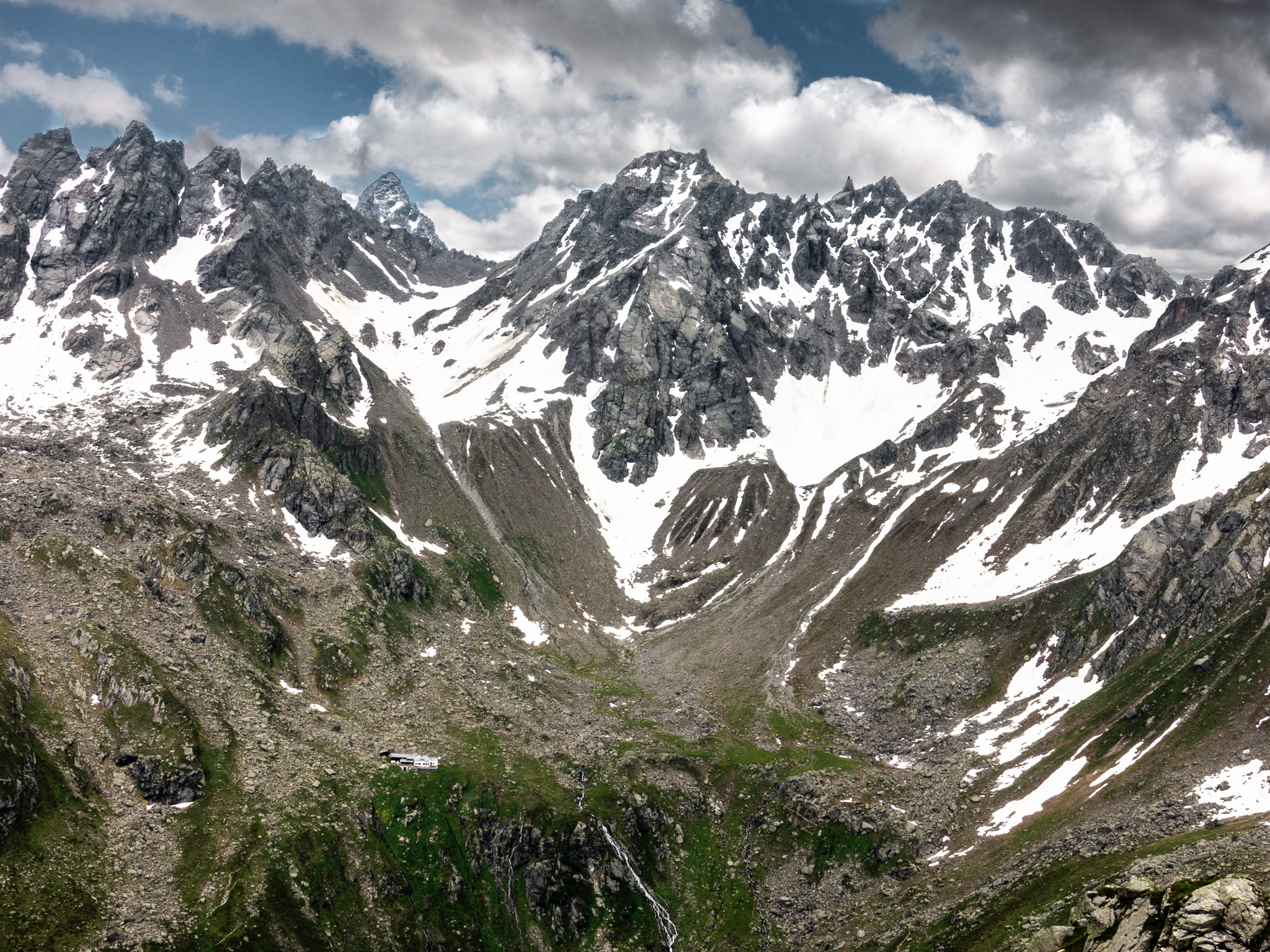
We then descended from the Vergaldner Joch across a bowl, then over the 2,415m Mittelbergjoch for a closer view of the remaining route and the hut. One of the routes we are considering for tomorrow, the Plattenjoch, ascends and crosses over the ridge above into Switzerland.
Descending from the Mittlebergjoch, we forded a creek, working our way upstream to find a suitable crossing. And then came across an old stone cabin just above the trail.

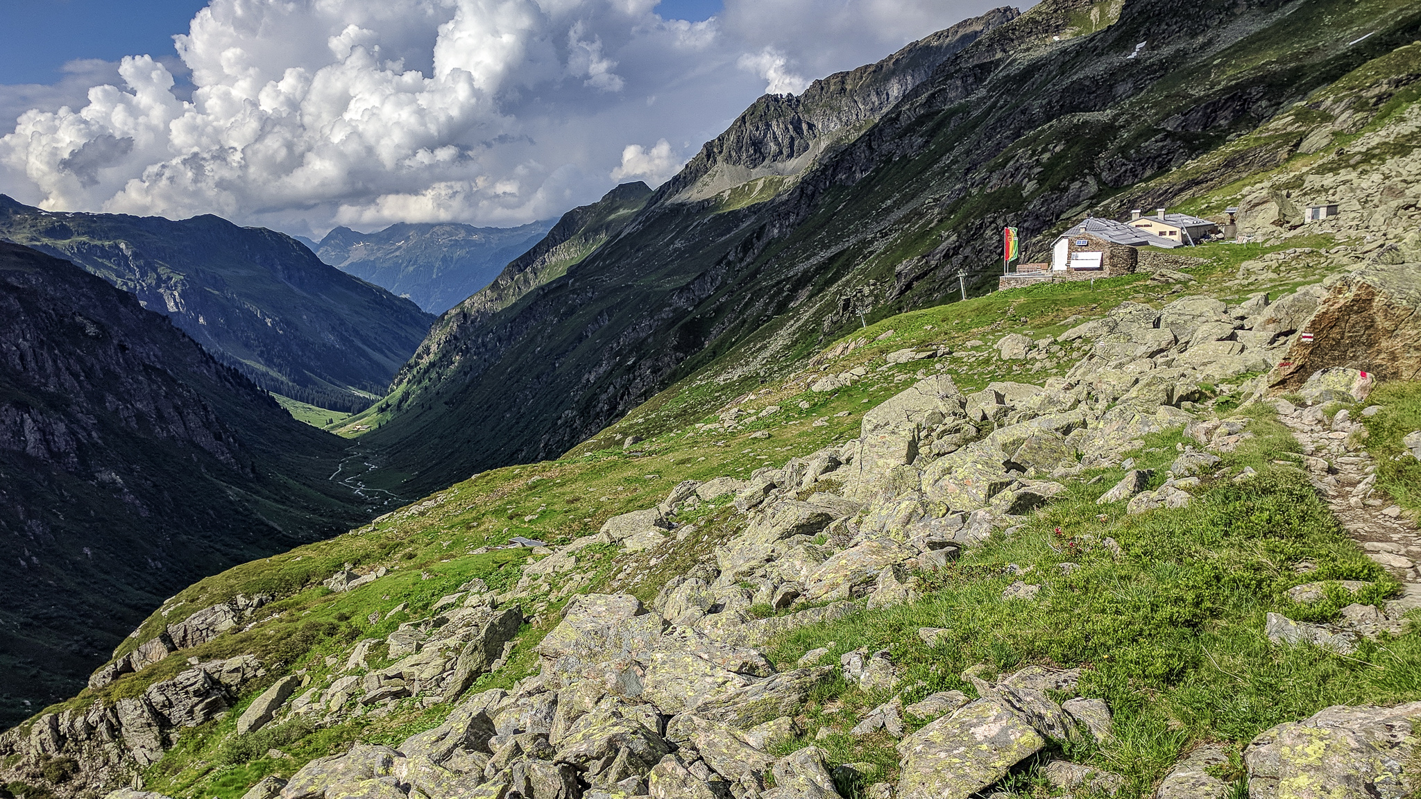
Shortly after we came to another trail junction where the sign indicated 15 minutes to the Tübinger Hütte.

It appeared to be only 5 or 10 minutes away but actually took about 20 minutes with several talus fields and unbridged streams to cross before finally arriving at the hut.


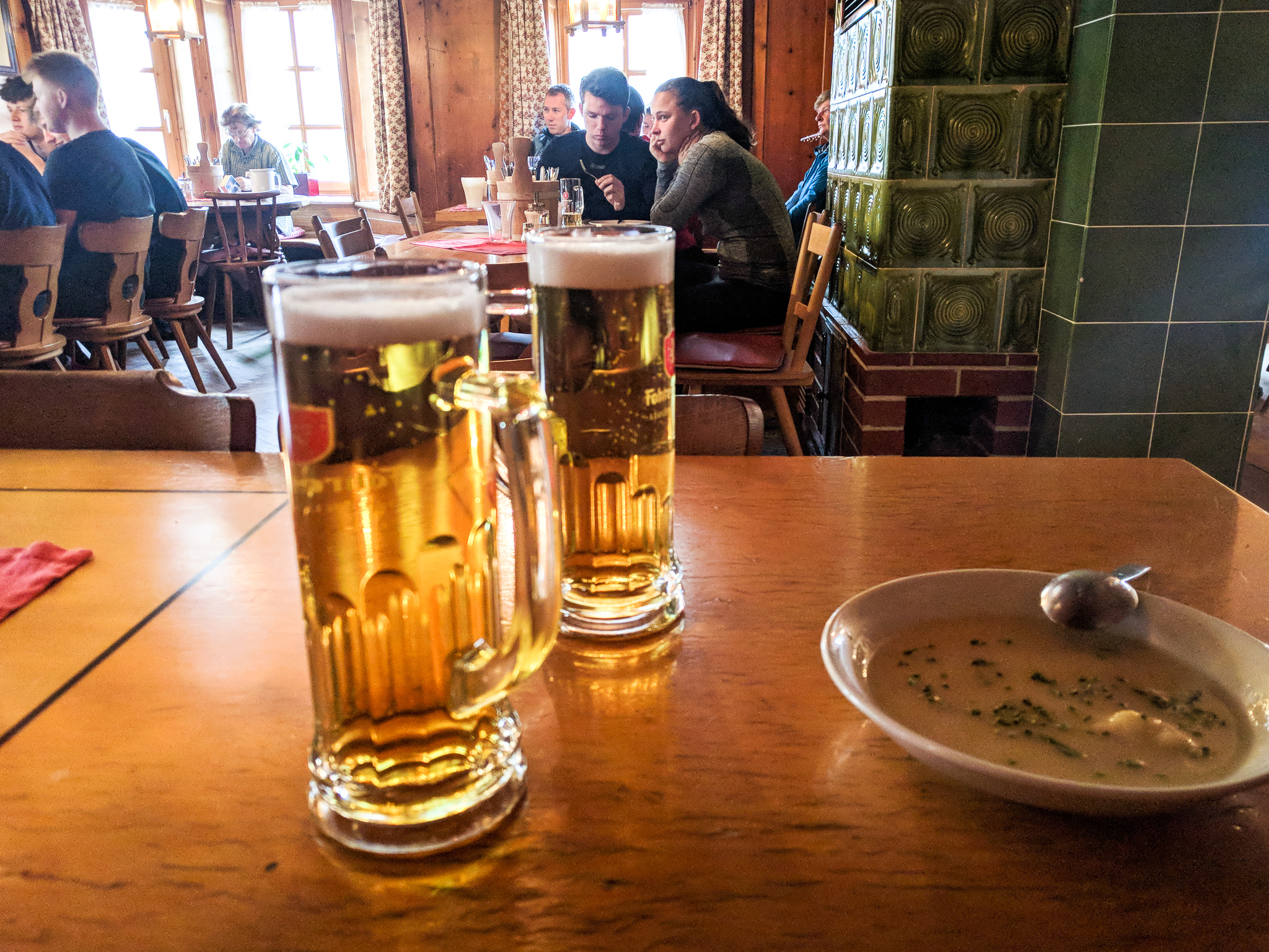
We checked into the hut, removing our boots/shoes in the Schuhraum (boot room), and unpacked in our 5+ bunk room in which one other guy occupied a bed.

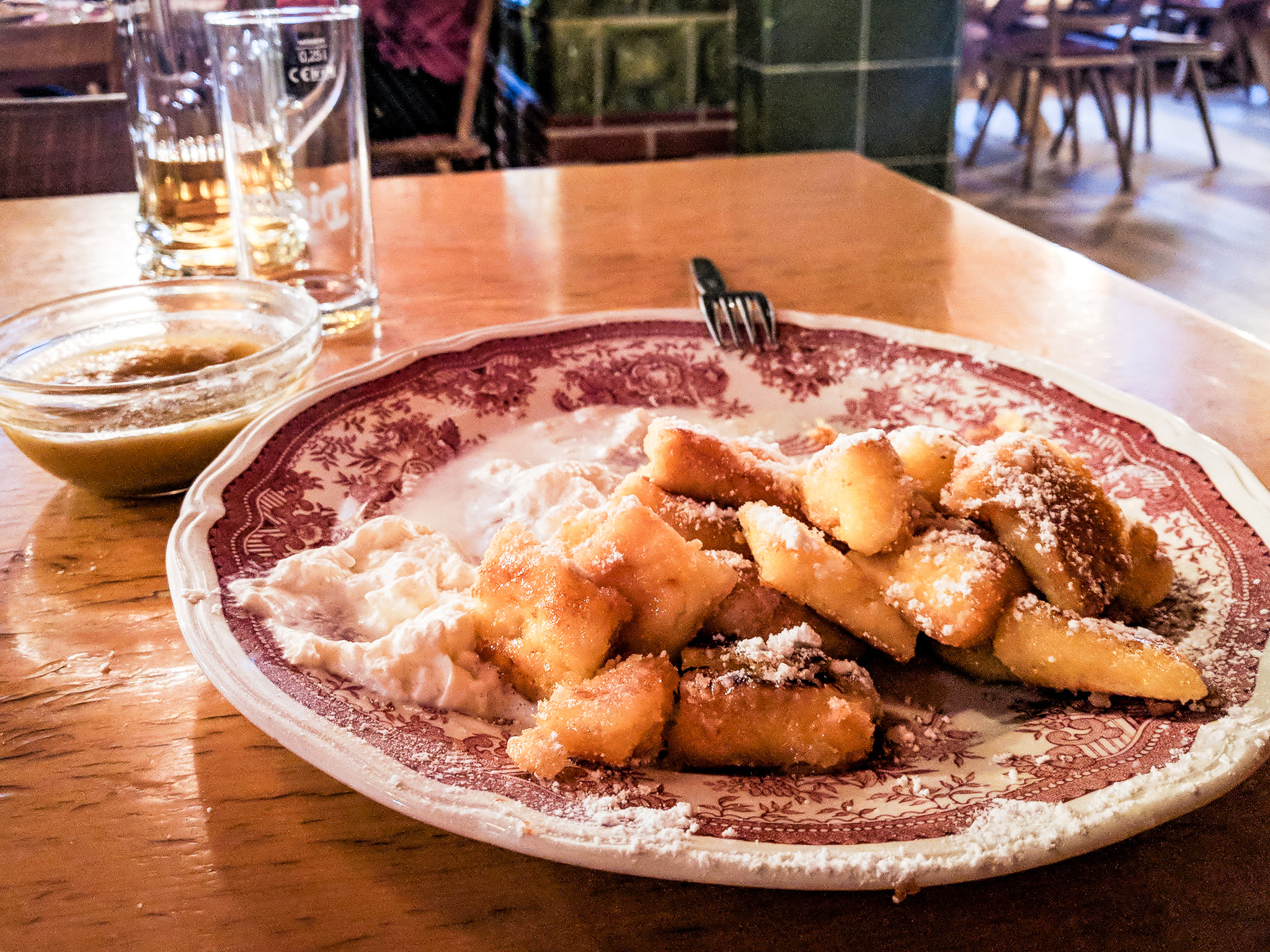
Had dinner (soup and alpine macaroni & cheese) and a beer in the dining room, and our first Kaiserschmarrn for dessert. There were no other native English speakers in the hut, and our waitress could just barely speak enough English to take our order (my pigeon-German was insufficient).
We sought advice from members of the German Alpine Club (DAV – Deutscher Alpenverein) at another table (most of whom spoke little to no English) regarding our preferred route up the Plattenjoch the next day. They advised against it due to steinschlag (rockfall) in the area, and an unknown amount of schnee (snow) remaining on the steep descent from the Seelucke; they advised that the Hochmadererjoch was a safer route (which we saw from the trail today). I thought it was funny that the guy who appeared most knowledgeable and experienced went on and on and on in German in response to a yes/no question about snow in the Seelucke.