Today we hiked from the Tübinger Hütte, up and over the Hochmadererjoch saddle, down into the Kromertal valley, and up the Kromertal to the Saarbrücker Hütte.
Distance
miles
Elev Gain
feet
Elev Loss
feet
Time
hours
Click markers on map for more info

The weather was dismal this morning, very foggy with a light rain drizzle. There was practically no visibility other than a few yards of the trail ahead.

We started off and realized within a minute or two (thankfully) that we were on the wrong trail, heading down into the Garnera valley far below. The first mile or two on the correct trail was moderate with a few slippery talus fields to cross.

Once we reached the Gantschettatäli valley leading up to the Hochmadererjoch the trail became much steeper.

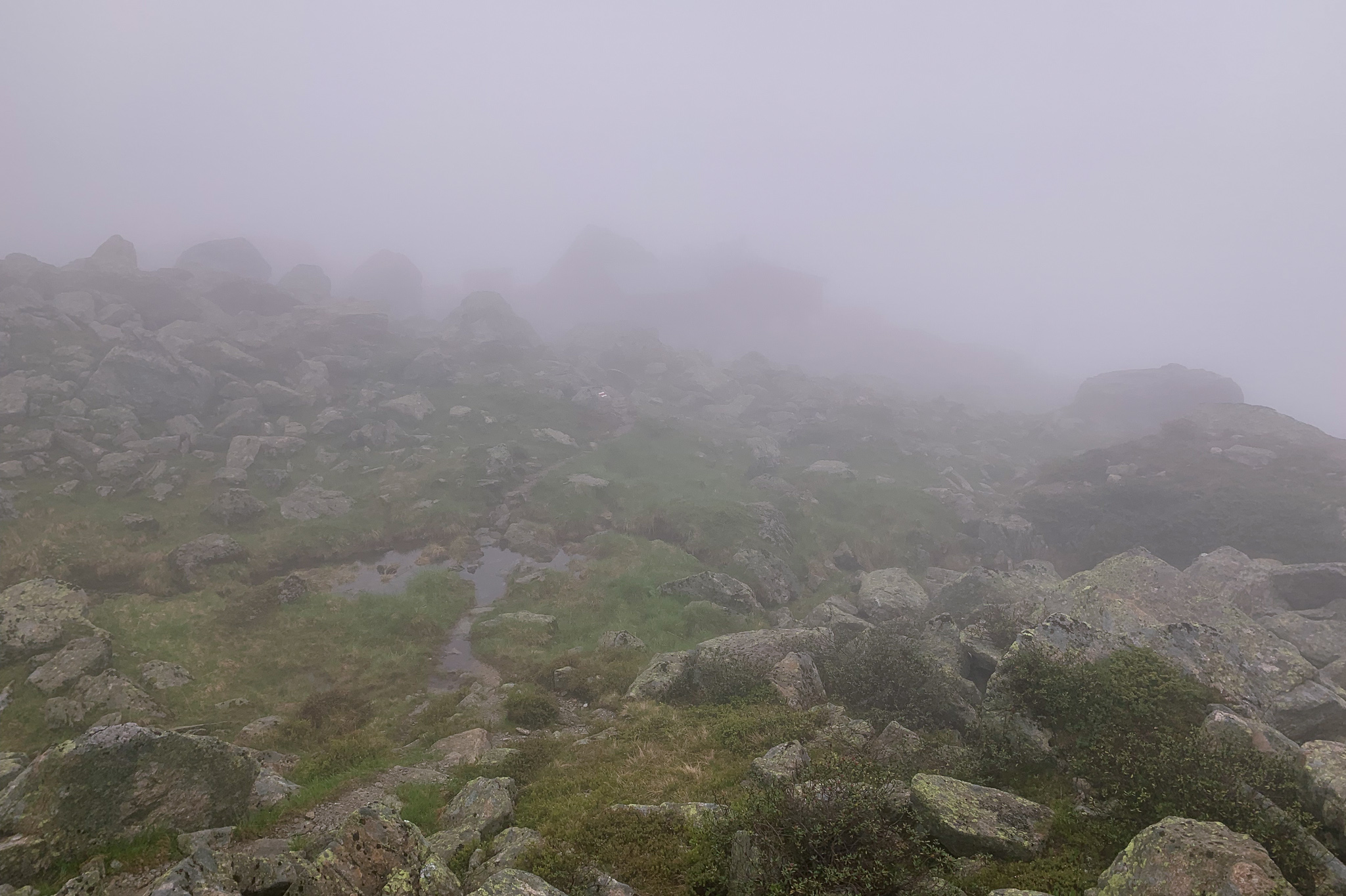
becoming progressively steeper as we approach the pass.
This section of the trail was actually much steeper than it appears here.
The trail climbed up 750ft to a junction with the trail to the Hochmaderer peak. We opted to skip this one due to no visibility and wet, slippery conditions. After a few more minutes we found ourselves on top of the Hochmadererjoch!

We set off on a steep descent from the Hochmadererjoch into the Maderneratal valley, descending a large snowfield at the bottom of the valley.

Continuing on, we came to the end of the valley where the clouds thinned out enough to see down to the Vermuntsee and up to the Silvretta Reservoir Dam at Bieler Höhe.


The Silvretta Reservoir Dam at Bielerhöhe is visible through the clouds.
We took a break here and snacked on a Käsewurst (cheese sausage) before beginning a steep, muddy, 1,000ft descent into the Kromertal valley. It was clear that even though it’s mid-July, summer has not yet begun up here. The snow was still melting, which innundated the trail with water in places and mud in others. Few flowers were blooming yet, the temperature was cool, and it felt like an early spring day up here.

The trail eventually made its way all the way down to the Kromertal valley where we reached a junction with the trail up to the Saarbrücker Hütte. It was warmer down here with the sun occasionally peeking through the fog and clouds.

We hiked 2,000ft (600+ meters) up to the Saarbrücker Hütte mostly on a dirt road, of which Allan got bored.

So we departed the road on a steep and rocky side trail toward the hütte. I got tired of toiling up this trail after a while, so we rejoined the road just below the hut. It was a nice easy stroll from here up to the hut.

We checked in, dropped off our boots/shoes in the schuhraum, dropped off our packs in our room, and went to the dining room for lunch. We each ordered a hüttenjausen (sausages, horseradish, bread, pickles, etc.), not knowing that each is large enough for two people.

The weather outside was deteriorating so we stayed inside. After lunch, we showered (separately), did laundry, gawked at maps, and hung out until dinner time.

Dinner was a hearty meat and potato dish, followed by Leberkäse (rice pudding) for dessert. At our table was an aging mountaineer and his guide, who informed me that his client was famous in climbing circles for putting up a first ascent in the Himalayas back in the day. We conversed with a German couple who helped me with my Deutsch pronunciation; they were on the same route and we would see them again tomorrow and the next day.

Since we had the room to ourselves, we took the double-wide bunks on the left side.
We eventually retired to our room, which we had to ourselves tonight. There were a couple of double-wide bunks in this room, and it was nice being able to stretch out a bit more. For me, the Saarbrücker was the ideal mountain hut: a small, cramped, creaky place offering shelter and sustenance amid a vastness of rock and ice (and bad weather).