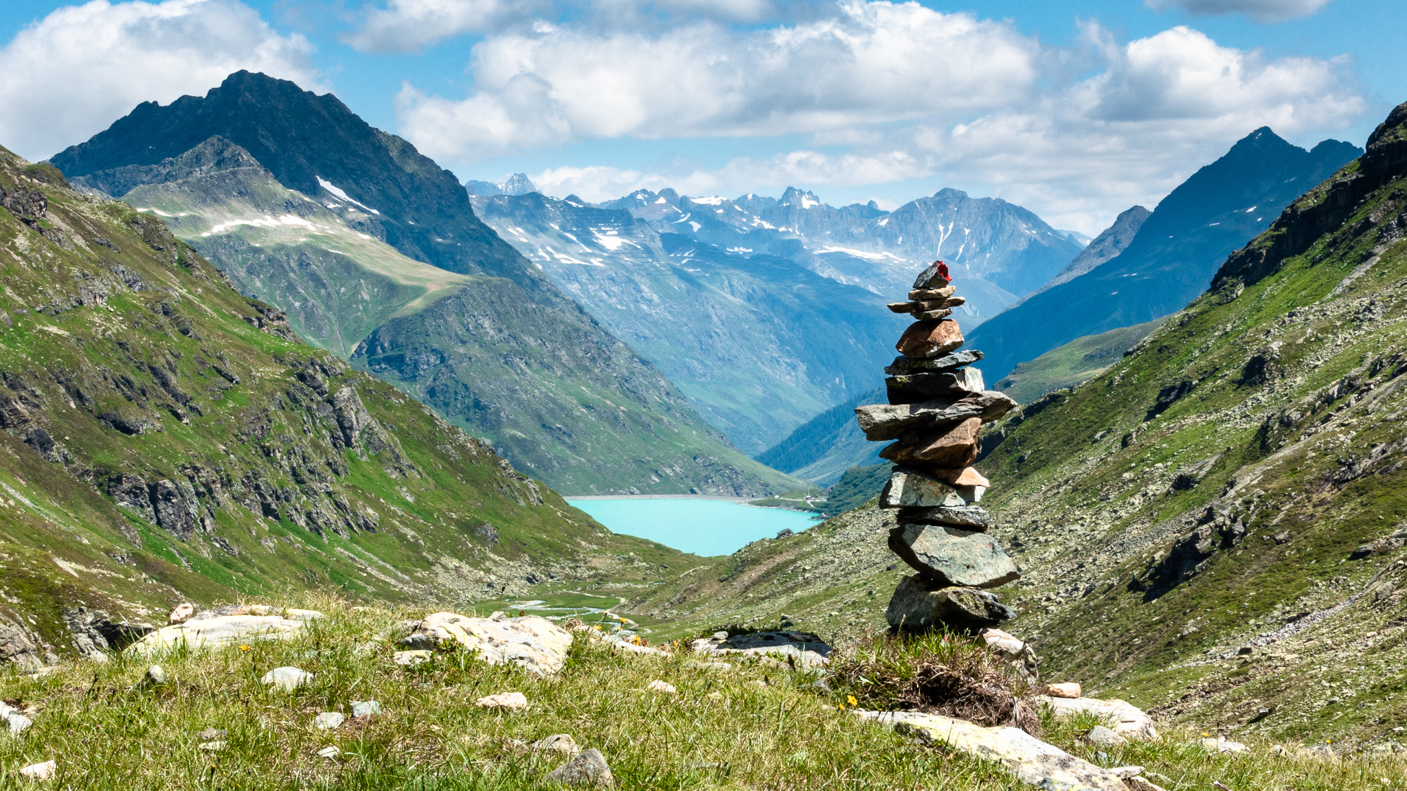
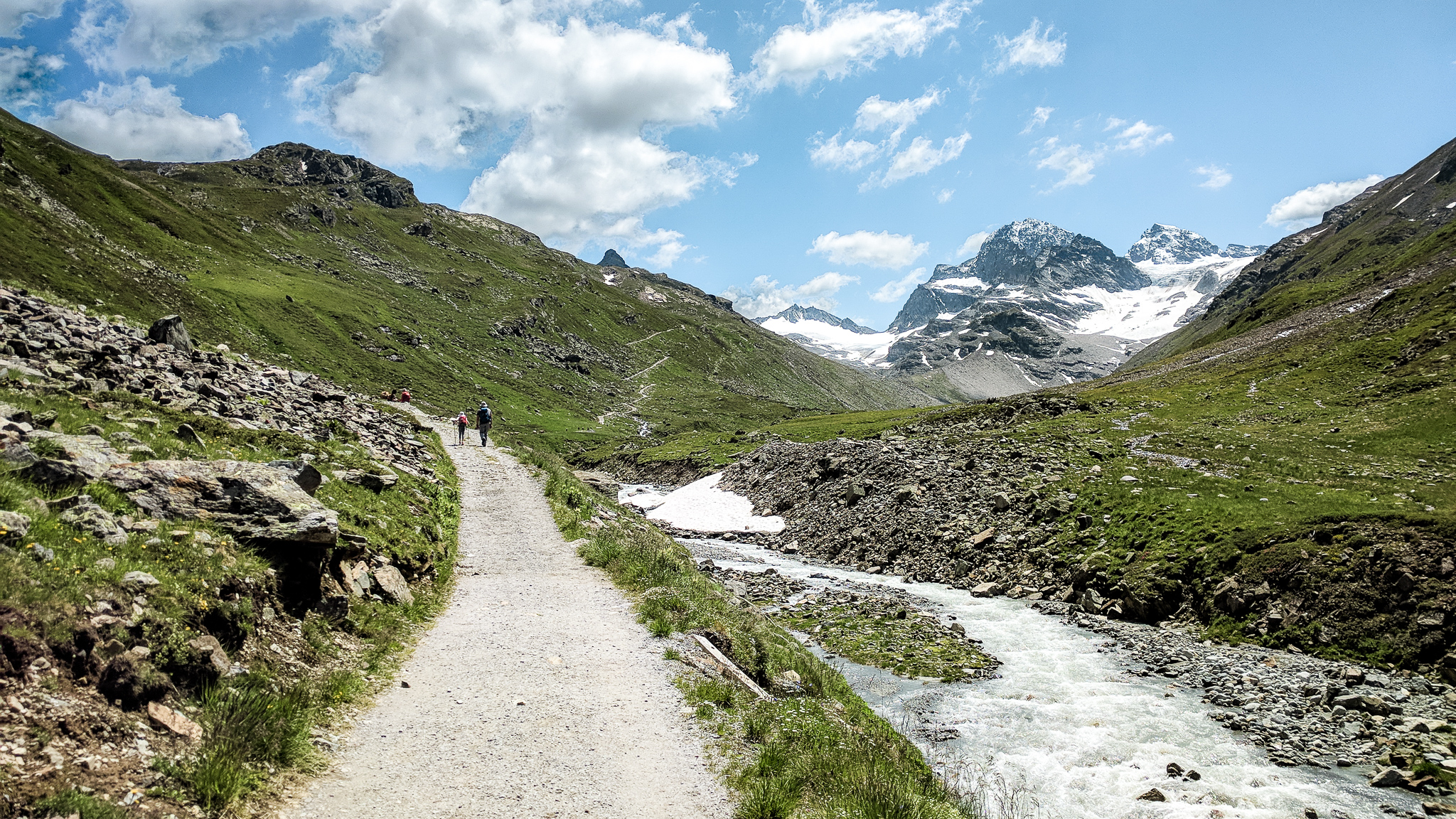
Today’s route involved hiking up steep snowfields, outstanding views of big peaks and glaciers, and lush alpine valleys from the Saarbrücker Hütte up to the Litznersattel, down to the Silvretta Reservoir, and up to the Wiesbadener Hütte.
Distance
miles
Elev Gain
feet
Elev Loss
feet
Time
hours
Click markers on map for more info


The Hochmaderer is visible at far left.
I woke up a little early after another good night’s sleep. I think I sleep better in the alps than anywhere else.

My guidebook stated that the Litznersattel is an alpine route for experienced mountaineers. But the hut warden said “it’s fine” and that families were crossing over it. We decided we couldn’t live with the shame if we chickened out and took the long way around instead.

We walked down the trail, crossed the road, and crossed the Litzner Gletscherbach (glacier creek) before stopping to put on our microspikes for traction at the beginning of the snowfield.

with the Saarbrücker Hütte behind.
We began hiking up the moderately steep snowfield. The snow was firm in the shade but the microspikes gripped well and made the hiking easier. The route was completely snow-covered all the way up to the top.

The grade eventually eased up a bit and then ascended the side of a ridge.

Once over the ridge there was another long snowfield to cross before finally arriving at the crest of the 2,737m Litznersattel and stunning views to the East.

The Wiesbadener Hütte, our destination today, lies in a valley on the other side of the Schneeglocke and surrounding peaks.

After savoring the accomplishment of our conquest of the Litznersattel, we began the long descent to the Klostertal valley. The trail led down through the Verhupftali valley and then became very steep at the end above the Klostertal. Thankfully there were cables in the roughest parts.


The trail mellowed out near the bottom, and from there it was an easy walk down the Klostertal to the Silvretta Stausee (reservoir).

We walked along the shore of the Silvretta Stausee a short distance, and then turned up the next valley, the Ochsental.

The Piz Buin first comes into view here, from where the Ill River originates.
Piz is a Romansch word meaning “peak”.
This was the least enjoyable part of our trek: walking up a steep road (unpaved) with lots of day-hikers going up to the Wiesbadener Hütte.

The trail became progressively steeper as we made our way up the Ochsental and we both were getting tired after the big climb over the Litznersattel and descent into the Klostertal. But eventually we came over a rise and saw the Wiesbadener Hütte ahead.

and the Ochsentaler Gletscher
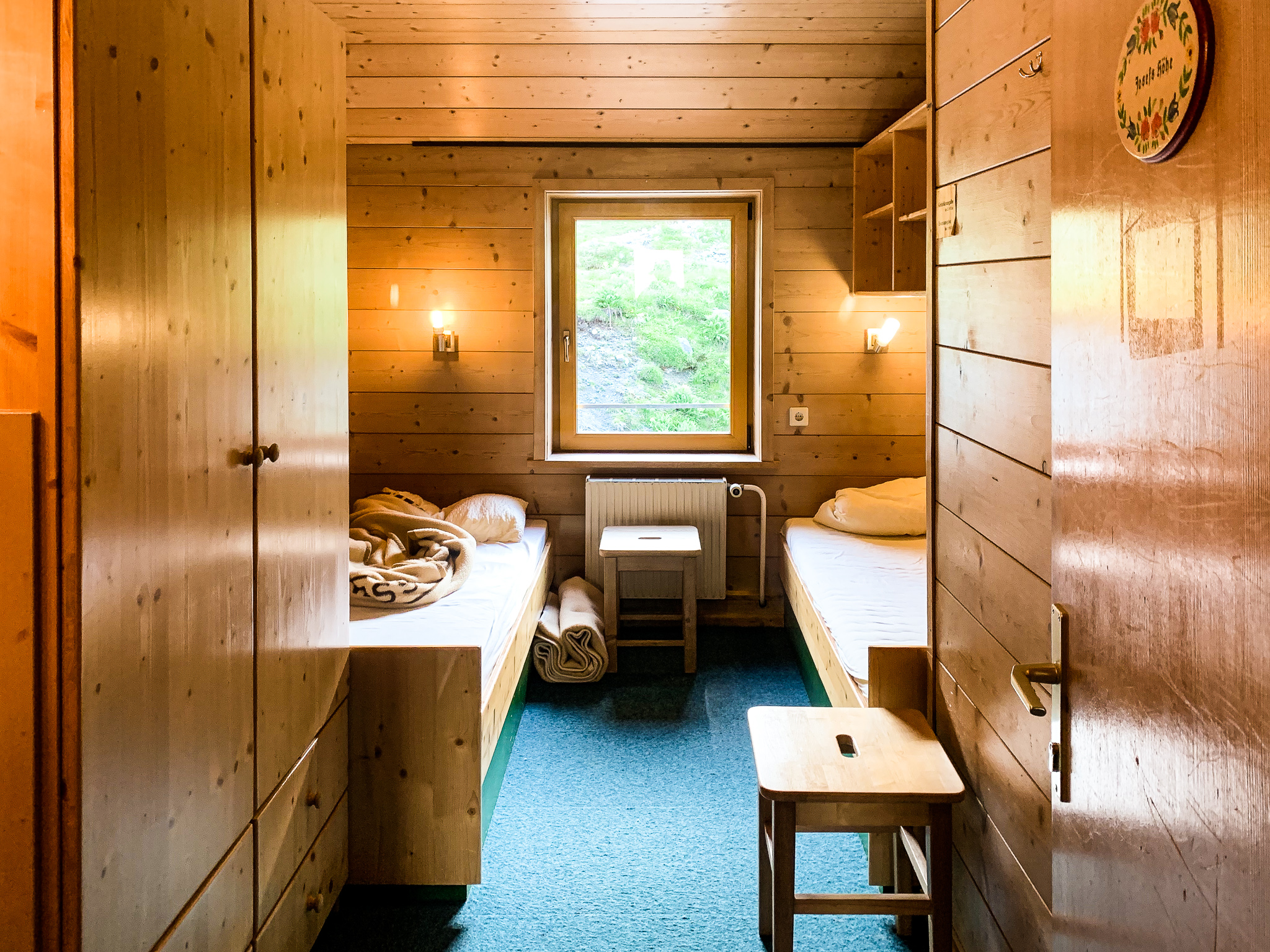
We checked in, after a brief scare when they initially couldn’t find my reservation, and unpacked in our room.

Out on the Sonnenterrasse (sun terrace), we had a Tyrolean Gröstl and Kaiserschmarrn for lunch and chatted with a climbing party going up the Piz Buin the next day. We then cleaned up, did some laundry, hung out in our room, and then enjoyed another delicious dinner: Fleischkäse (Austrian meatloaf). At our table was a German couple who we first saw on our first day near the Alphorn player.
