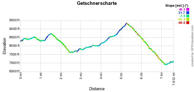
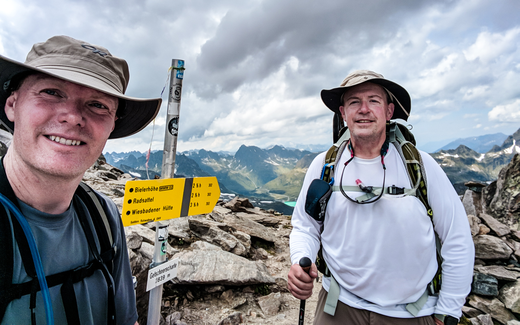
A long day of hiking the Edmund Lorenz Weg (trail) from the Wiesbadener Hütte over our highest crossing in the Silvretta Alps, the 2,839m Getschnerscharte (notch), to the Jamtalhütte. We will also cross over the 2,652m Radsattel (saddle) on the border between the Austrian states of Vorarlberg and Tirol.
Distance
miles
Elev Gain
feet
Elev Loss
feet
Time
hours
Click markers on map for more info
My guidebook indicated this was a tough hike, but not an “alpine route”. We checked with the hut warden, but he didn’t seem to know anything about the route other than “I haven’t heard of any problems”. Given our success with the Litznersattel the previous day, we decided to give it a try, knowing that we could bail out down to Bielerhöhe if necessary.
From the hut, the trail ascended a ridge. We briefly got off track on an abandoned trail after a stream crossing, but GPS got us back onto our route.

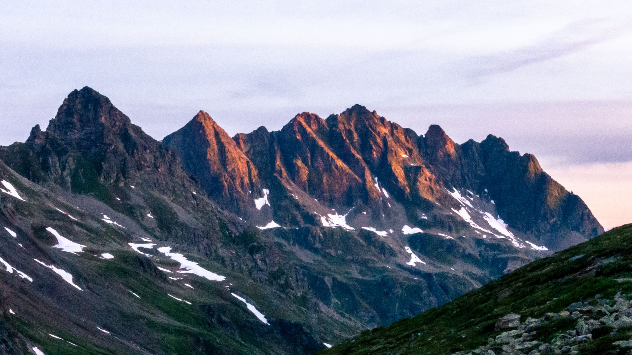
At the top of the ridge, we could see our next objective, the Radsattel.

Höhes Rad peak is on the left, and the saddle is the low point just left of center.
Later in the day, we will cross over the taller peaks in the upper right.
We followed the trail over rolling terrain to the base of the Radsattel.

The trail switchbacked steeply a few hundred feet up to the Radsattel and the border with Tirol.
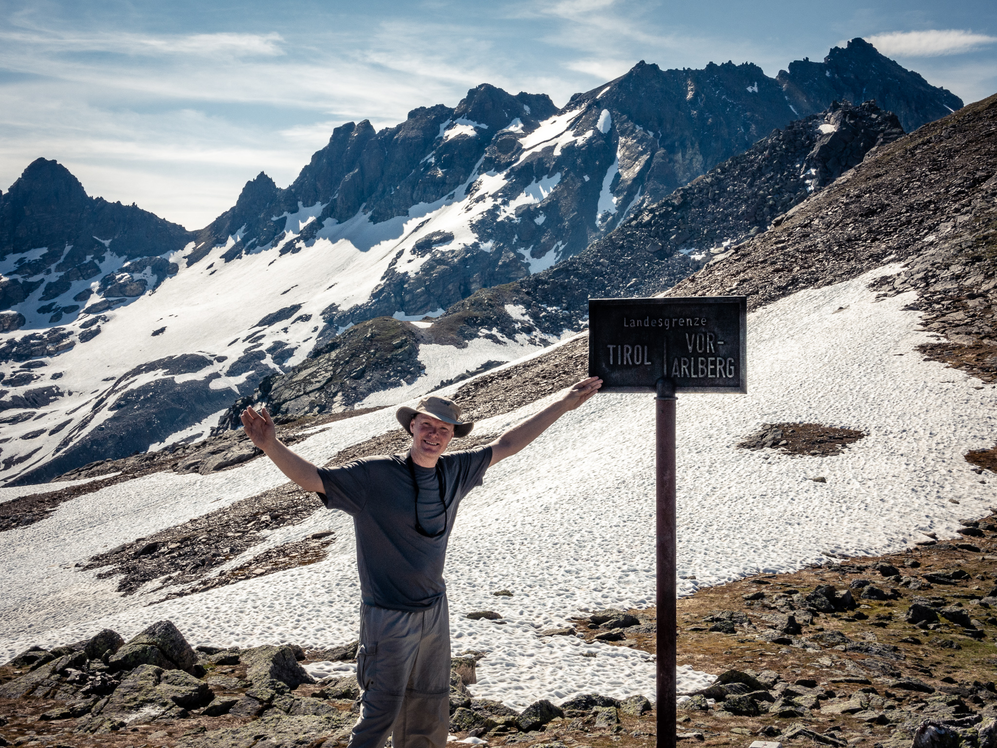
At the Radsattel we met up with the German couple from the Saarbrücker Hütte. She was trying to help me correctly pronounce “Bielerhöhe” (bee-ler-HOO-eh) when another German hiker arrived and muttered “German lesson, ok.” (as if that’s to be expected at the top of an alpine pass) and then wandered off.

Leaving the Radsattel we soon came to a series of steeper snowfields to descend which required the use of microspikes. Below the snowfields, we passed the beautiful Radsee as we descended into the Bieltal valley.

The temperature rose comfortably as we descended further into the Bieltal.
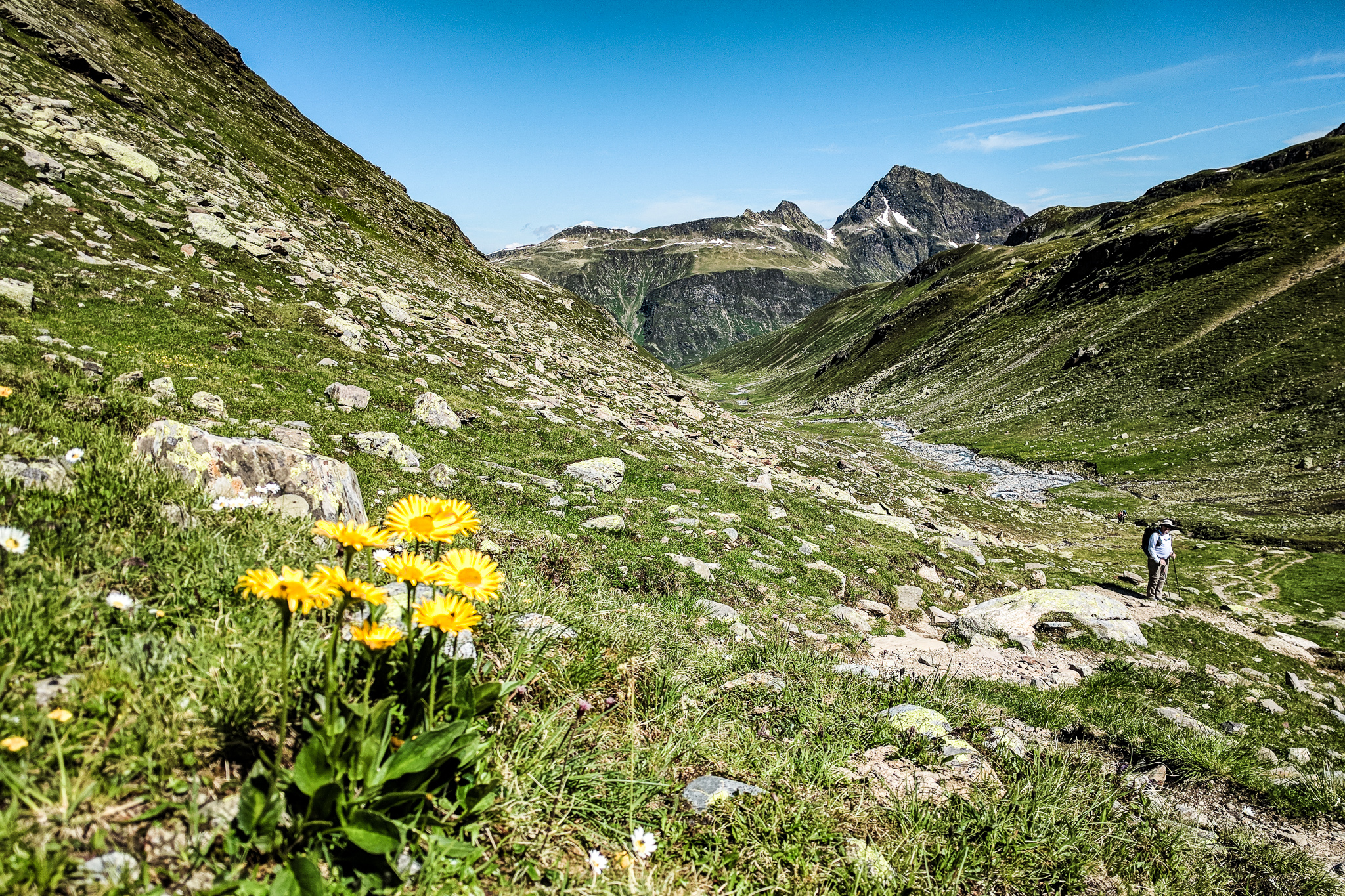
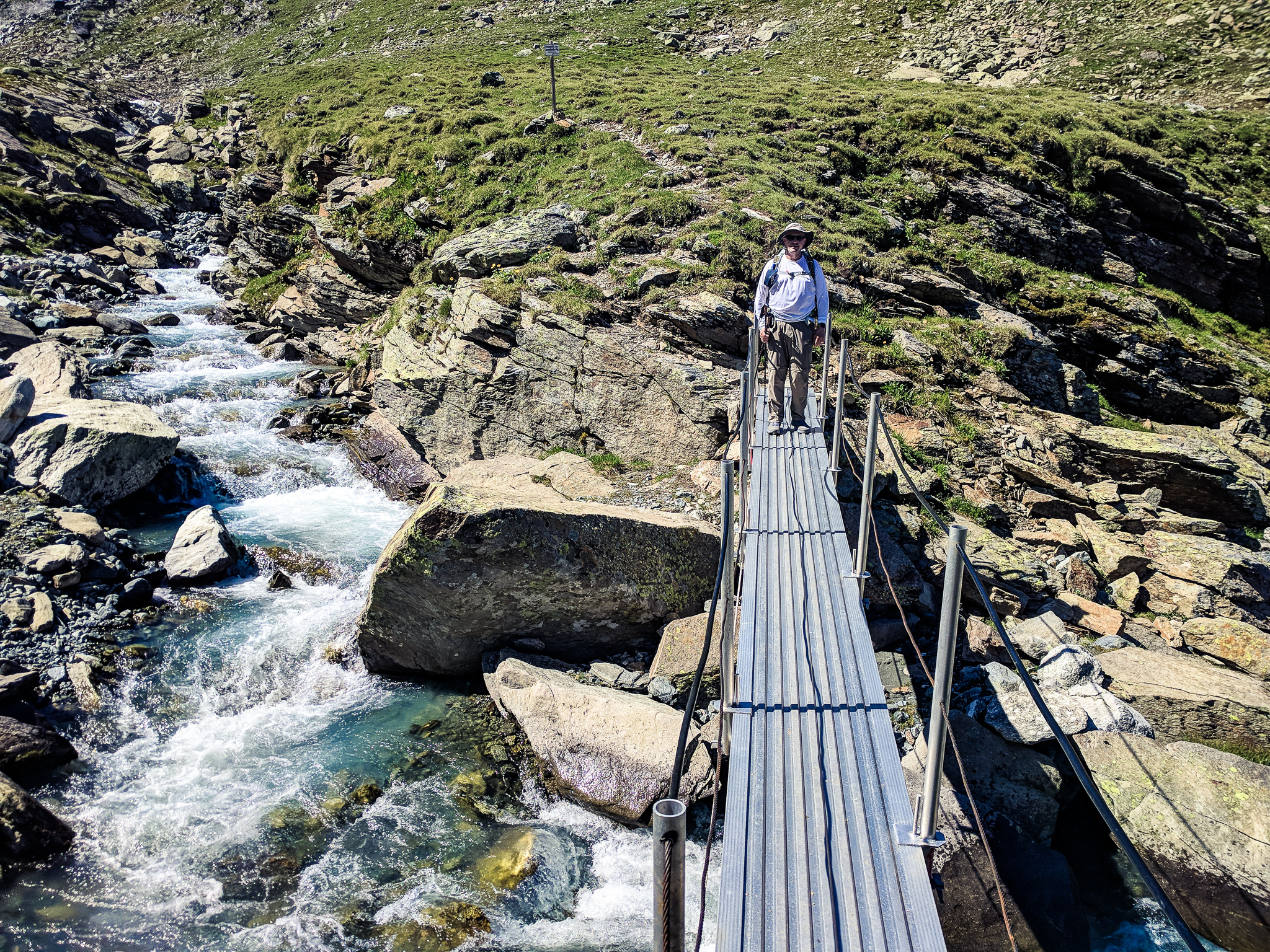
At the bottom of the valley, we crossed a bridge over the Bieltalbach (creek) and stopped shortly after for a snack of Käsewurst (cheese sausage).
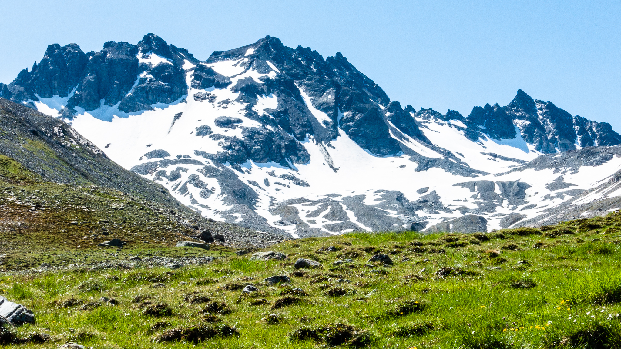
Continuing up the Bieltal was like a scene from The Sound of Music: green grass, wildflowers, and views of surrounding peaks.
The scenery changed dramatically as we climbed out of the Bieltal and turned to head up to the Getschnerscharte. Bielerhöhe was far below and visible in full for the first time. And we could see all the way back to the Hochmadererjoch over which we crossed two days ago.

The trail ascended steeply for a while and then disappeared under a large snowfield, so we followed the footsteps from others across and up the snow. It was somewhat obvious where the pass was, so there was little risk of getting lost here.

As we progressed further up toward the pass, the snowfield became increasingly steep to the point our feet began slipping and we lost confidence in traction on the snow (even with microspikes). This was the only time on this trip where I would have preferred more substantial traction devices like crampons. We passed a few Germans/Austrians coming down and none of them had spikes of any kind; just merrily stomping and slipping their way down. We exited the snowfield and scrambled across the steep slopes of scree and talus. The pass eventually came into view and shortly after we made our way up to the top.
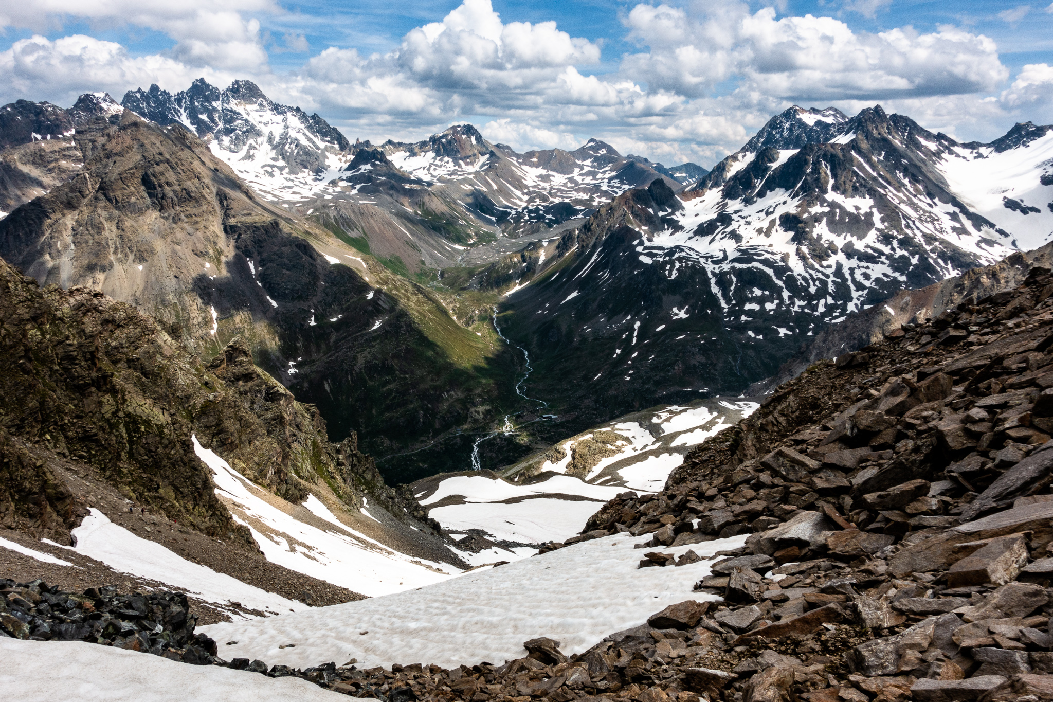


There was no discernable route down toward the Jamtal valley from the pass, but we could see a couple of people down below who were moving slowly along the base of the cliffs. The route was very steep, extremely so at times, often requiring the use of hands to climb over/around/through/down the terrain. The steep snowfields were unnerving because you would slide quickly before crashing into the rocks below if you slipped and fell. The scree was so loose in places that we would almost “ski” on it as it moved beneath our feet with each step. This was the only part of the entire trip where I would have preferred sturdy boots over my trail runners (my feet often became jammed between loose rocks while sliding).

We finally regained the trail and were able to walk a few steps, but then the trail was washed out and we had to downclimb a short vertical section. After this the trail resumed and continued downward, steep but walkable.
No sooner had we survived the steep descent from the alpine zone of rock and snow above than we faced a new peril: steinschlag (rockfall) from steinbock (mountain goats) on a ridge above. Allan heard it first and yelled “rock!” I ran the opposite direction toward cover but heard and then saw a fist-sized stone fly by like a bullet. All I could do was cower with hands over my head against the hillside as a couple more hurtled by. Allan dove for cover (with my camera in hand), but took a hit on his foot. Thankfully it hit the edge of the sole on his boot and did not inflict injury – but it left a mark on his boot that he’ll tell his grandchildren about.

The remaining descent to the Jamtalhütte was largely uneventful but super-scenic.
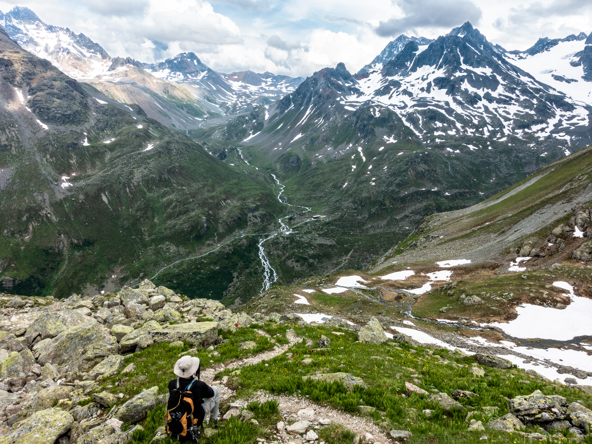
Uneventful except for some low-blood-sugar drama. I was running low on energy after the climbs up the Radsattel and the Getschnerscharte plus nearly 3,000ft of descent so far today, and I declined Allan’s repeated offers/requests to stop, rest, and snack. I just wanted to get to the hut and relax, but probably should have accepted the offer, regained a little strength, and enjoyed the rest of the day a little more.

— Paul Simon
Eventually, we descended the mountainside all the way down to the Jambach (creek) in the Jamtal valley near the Jamtalhütte.
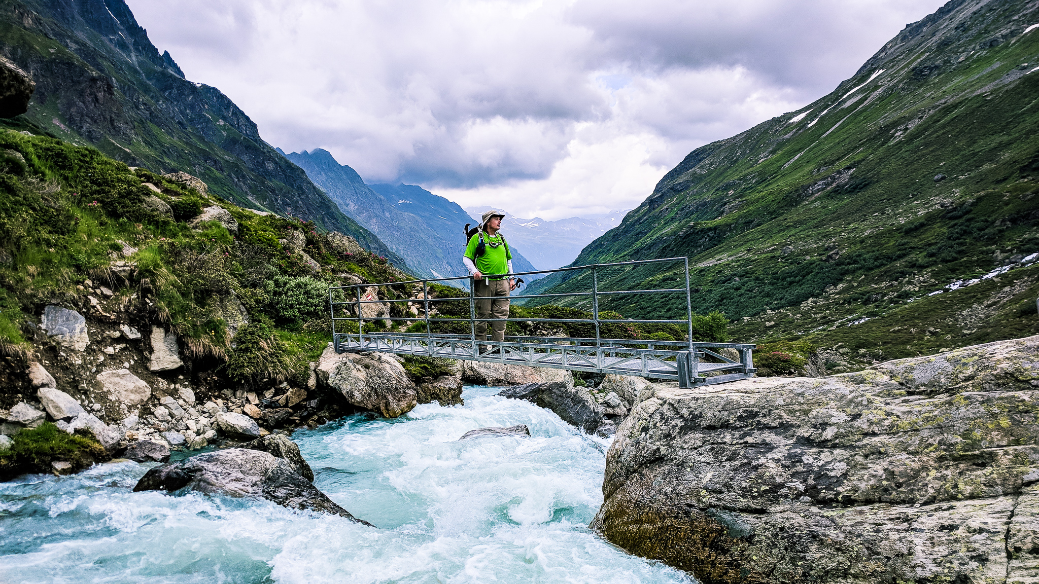
From here it was a wearying 15-minute walk uphill to the hut.

Once at the hut, it was the usual drill: shoes off in the Schuhraum (shoe room), check-in, dump our packs in the room, and then to the dining room for dinner. For the first time, my legs were sore tonight. For dinner, we had pork with mushrooms and rice, and a delicious Apple Strudel for dessert.
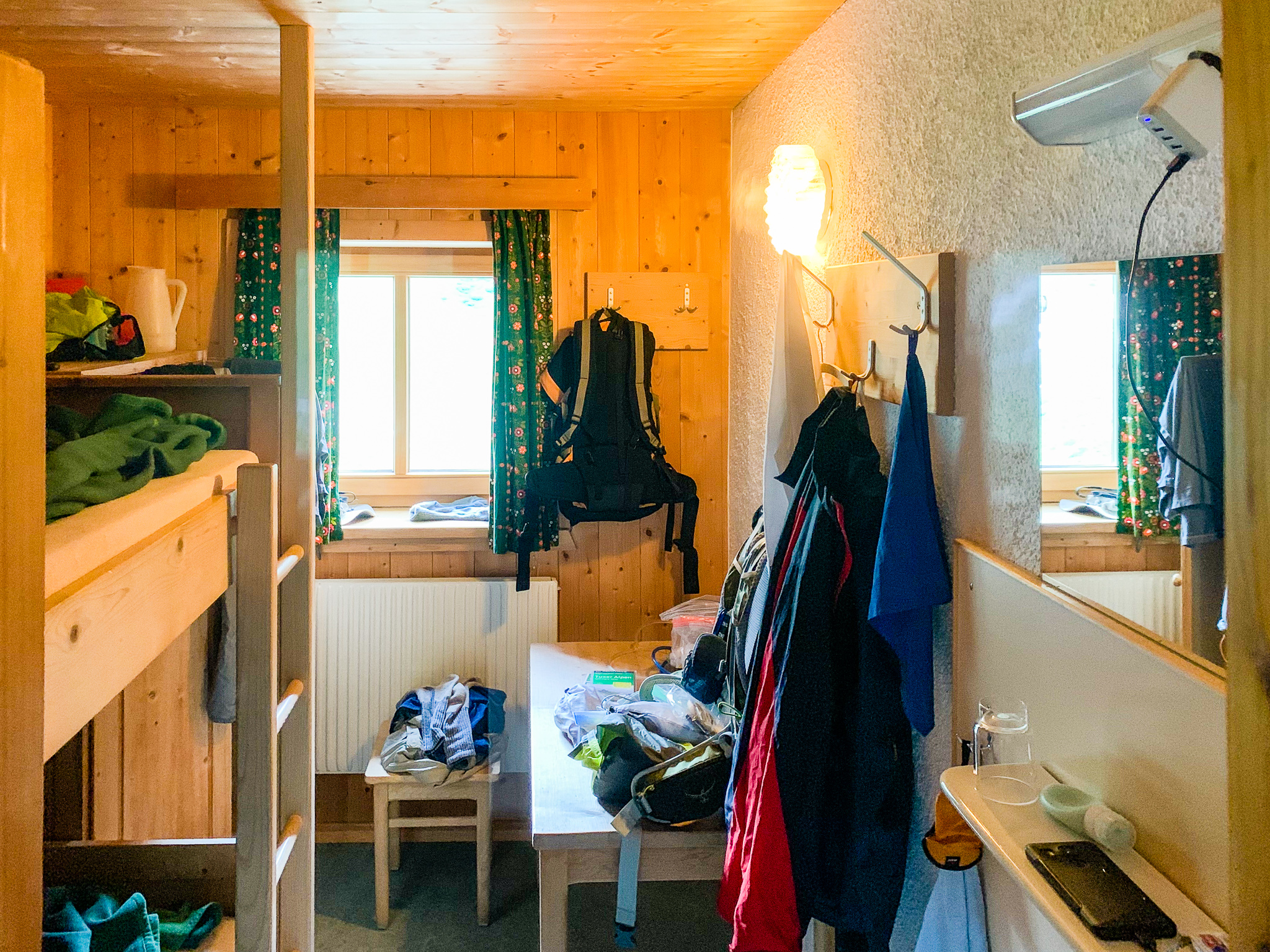

What a day! I think I lasted about 30 seconds on my pillow before falling asleep.