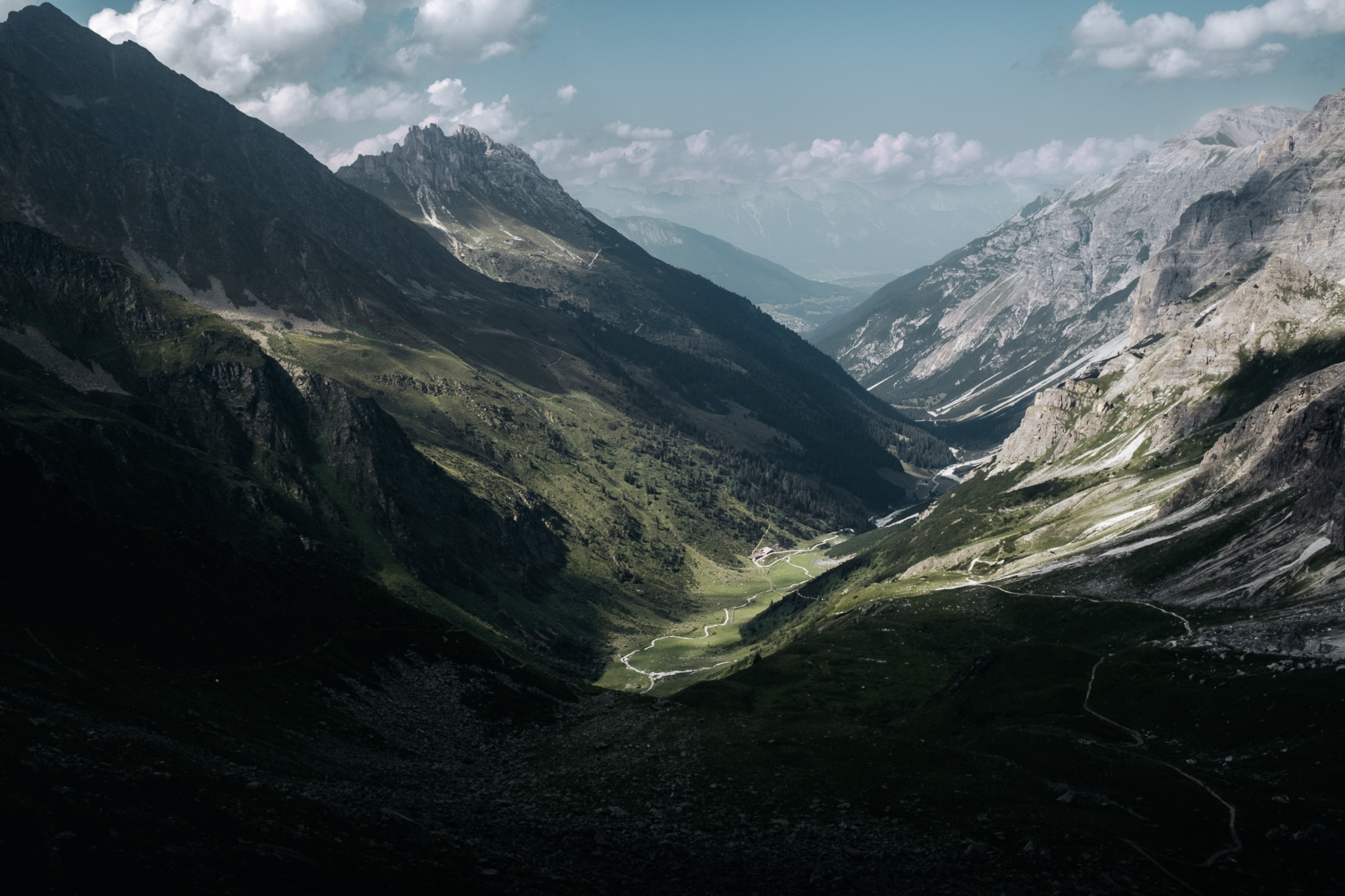
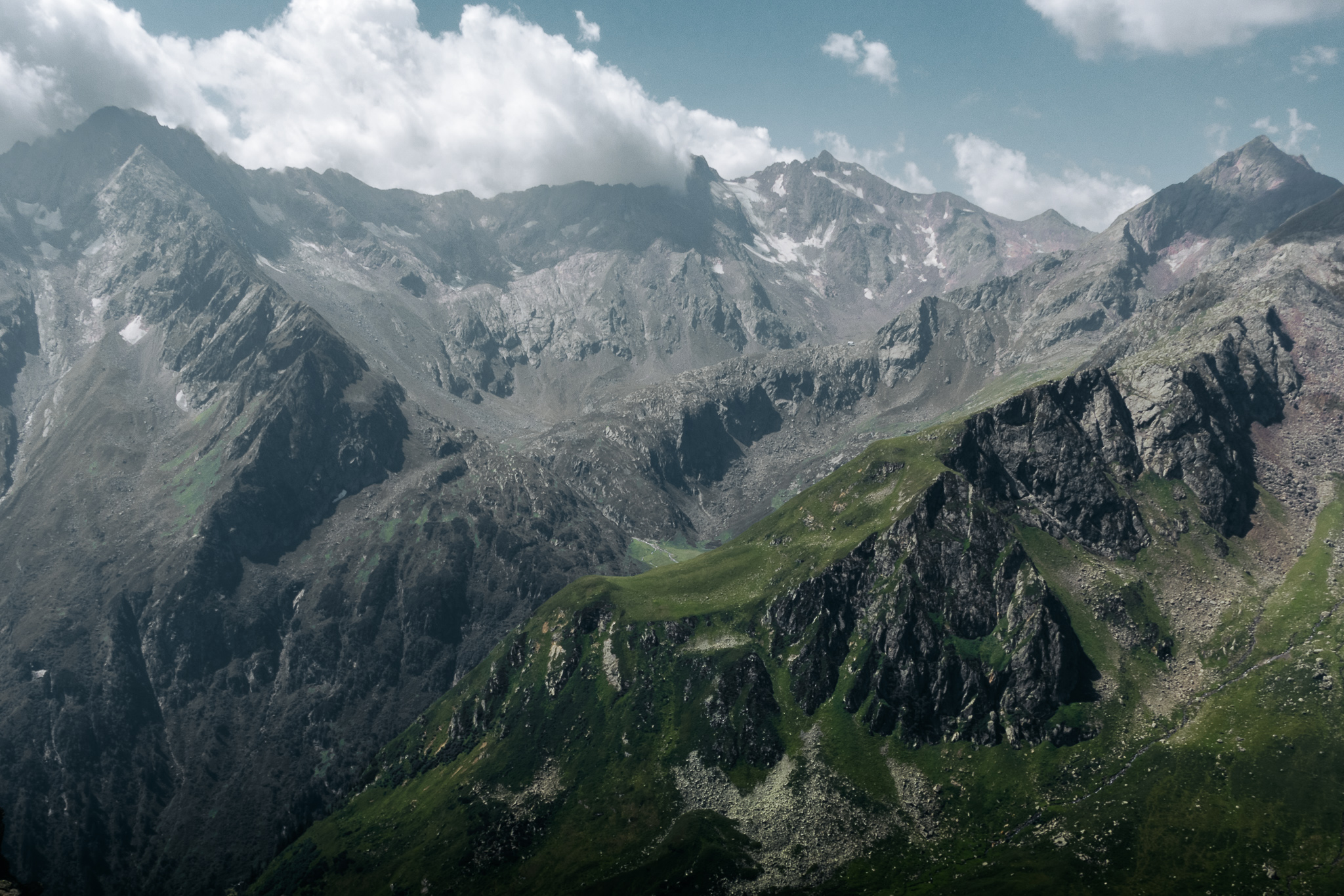
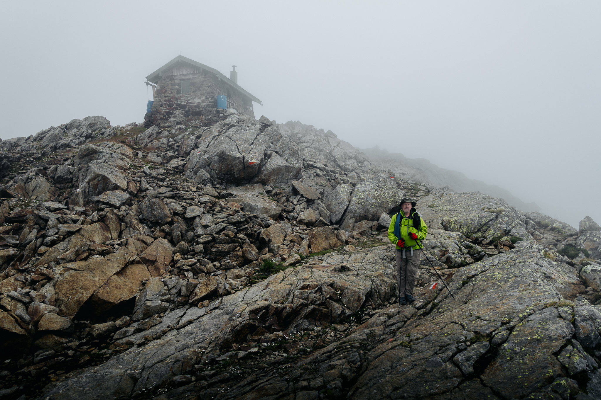
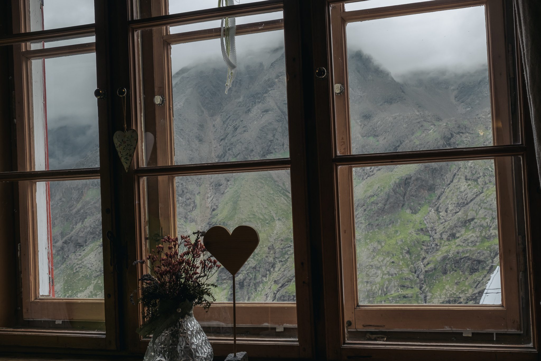
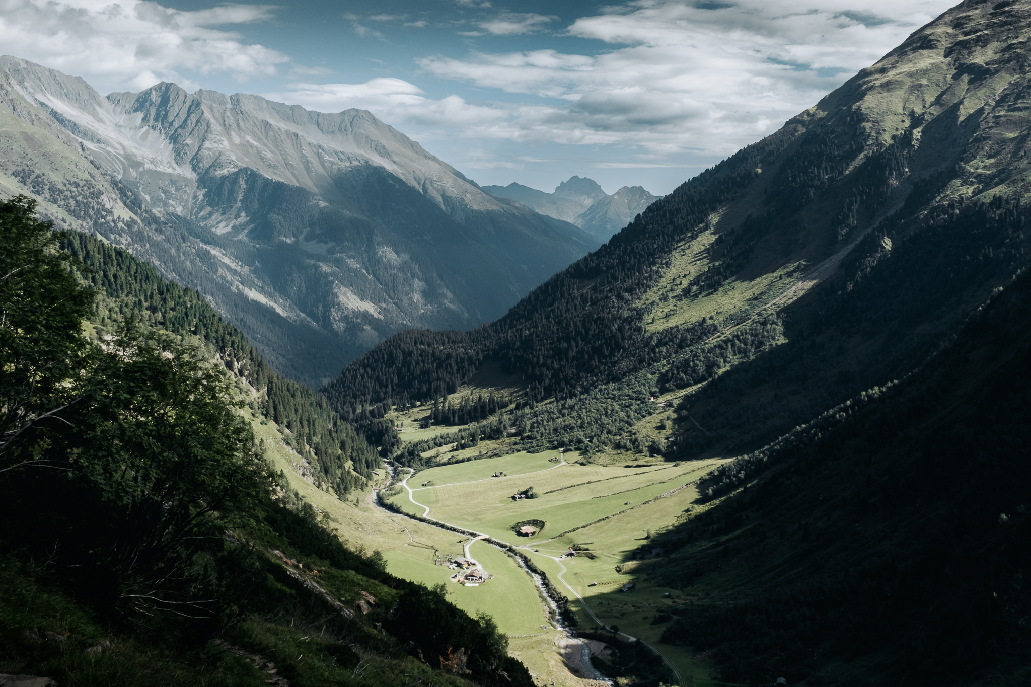
A planned 7-day hut-to-hut hiking route on the famed Stubai Höhenweg (high trail) in the southern part of the Stubai Alps south of Innsbruck and near the Italian border. High passes, cozy rustic huts, big peaks and glaciers, and stunning scenery. At least that was the plan…
Distance
20.29 miles
Elev Gain
7,721 feet
Elev Loss
9,266 feet
Time
4 days
Interactive map – click map controls to zoom in/out