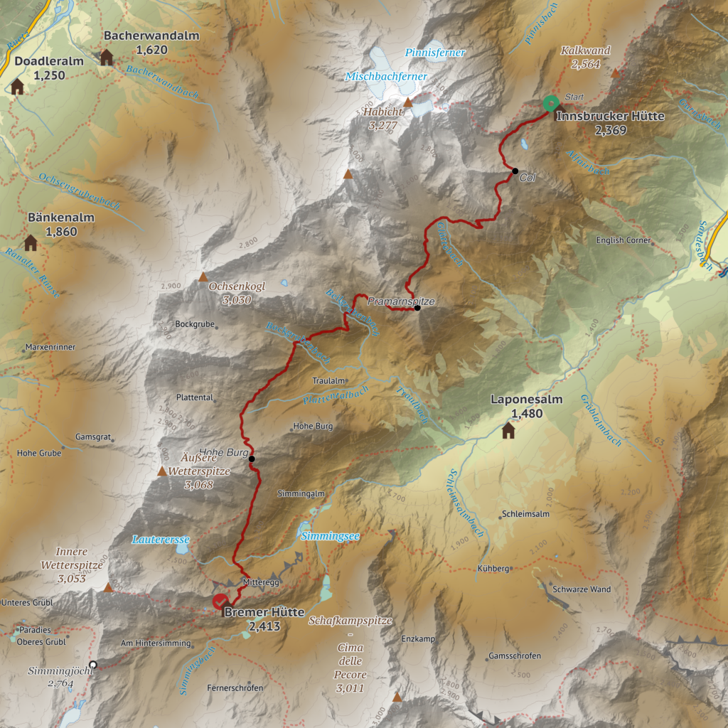
Our second day of hiking in the Stubai alps, from the Innsbrucker Hut over to the Bremer Hut.
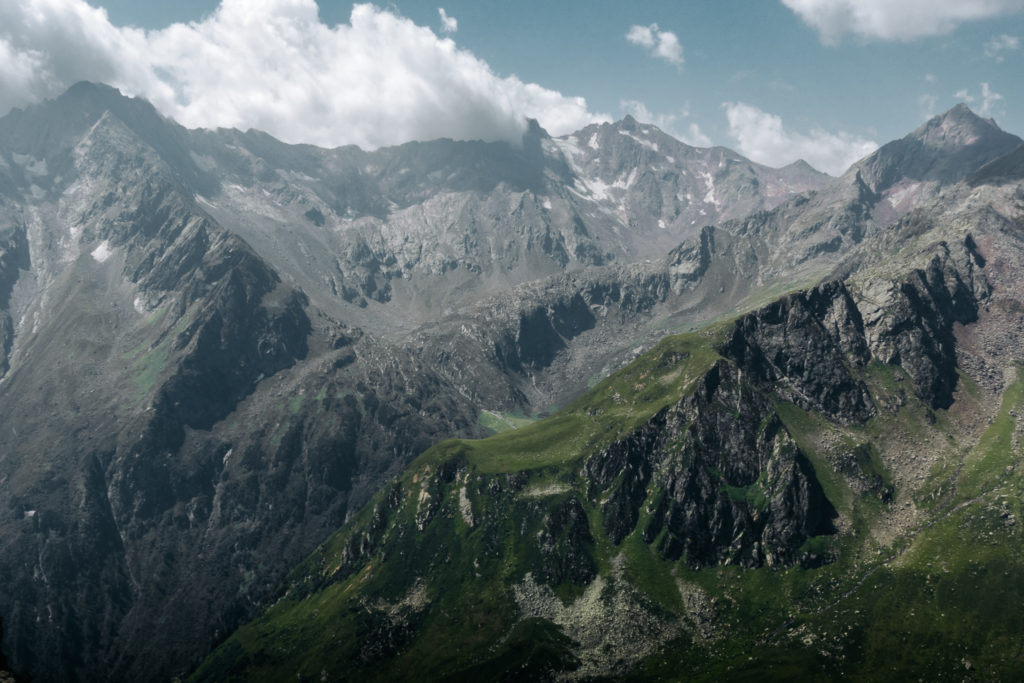
Today we hiked over to the next hut on an arduous segment of the Stubai Höhenweg rated “Black”. Trails in Austria are rated:
- Blue: Easy paths, which can be narrow and steep in places. Haven’t seen one of these yet.
- Red: Mostly narrow and often steep; there may be short challenging passages with additional securing where there is some risk of falling.
- Black: Narrow and steep, with some danger of falling; lots of challenging sections with additional securing and easy climbing passages. Please note: surefootedness and a head for heights are required here.
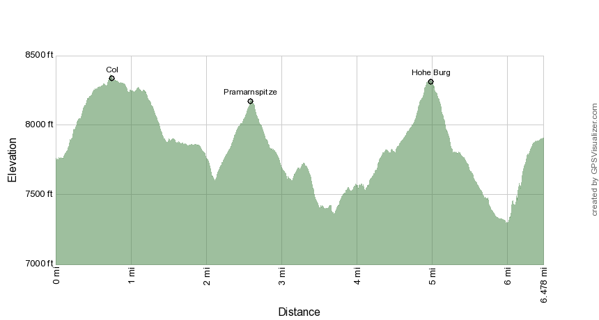
Distance
6.5 miles
Elev Gain
3,000 feet
Elev Loss
2,880 feet
Time
11:29 hours
Monday 25 July – Bremer Hütte
I felt under the weather at breakfast, a little congested and breathing heavier than usual, and had no appetite for food. Even though I was feeling unwell, we decided to try the route anyway.
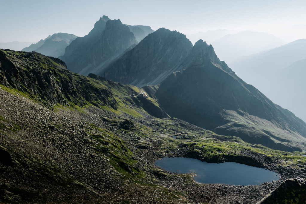
We departed the hut at 07:15 for a hike that should take about 7 hours (spoiler alert: it took us much longer). Right away I could tell something was not right – I was winded and moving slowly. It took us 1.5 hours to traverse the talus field and reach the col above the hut (which should have taken less than an hour).
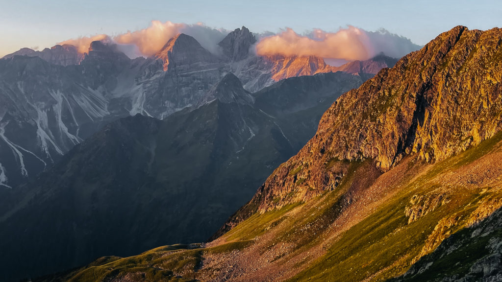
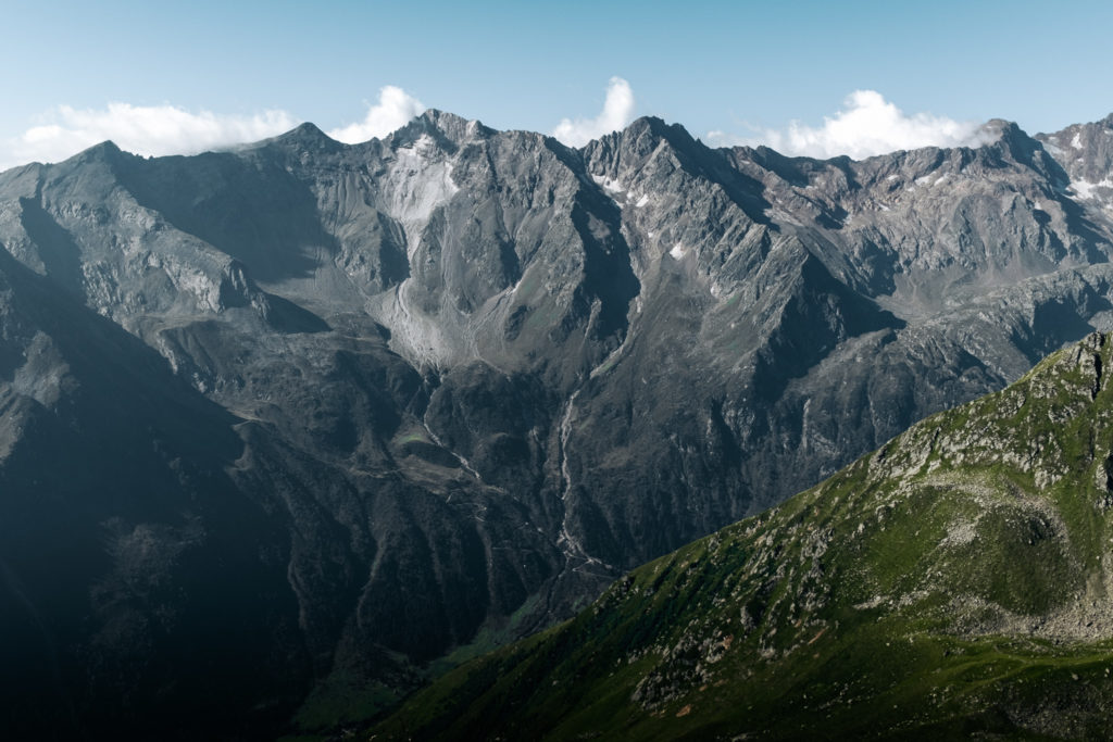
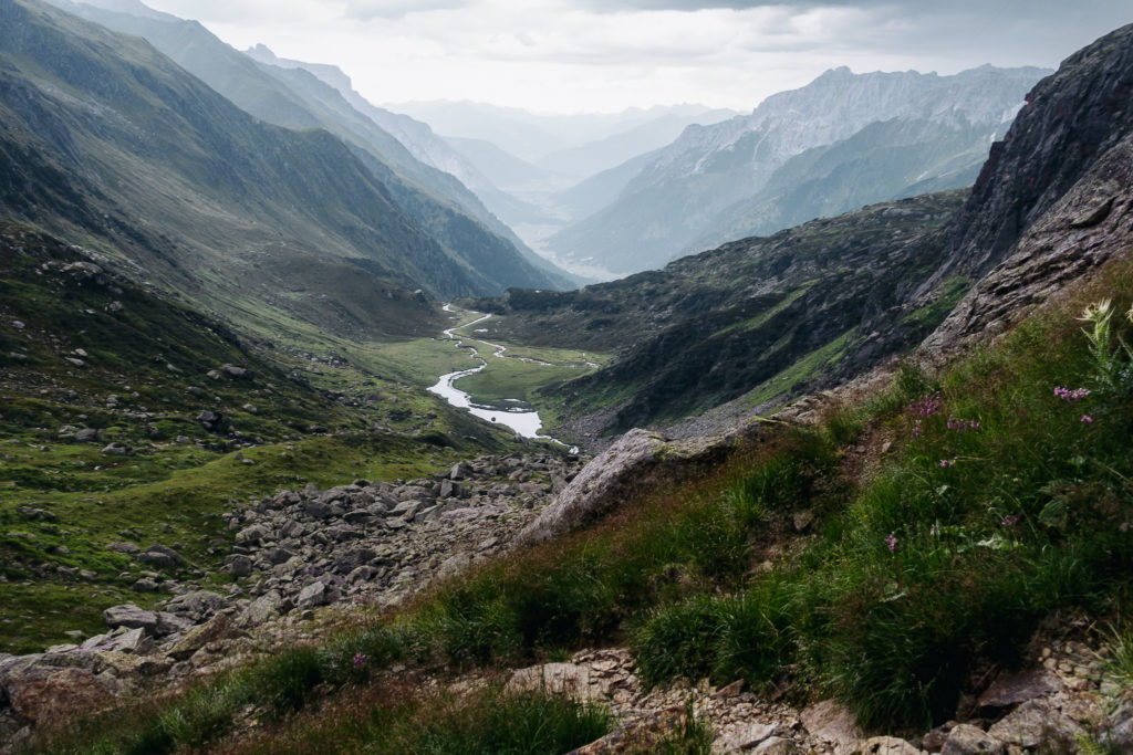
The views toward the bigger peaks along the Italian border were increasingly impressive.
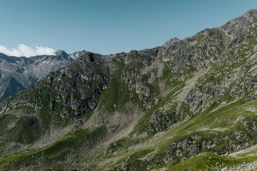
We descended, seemingly endlessly into a rocky cirque and then began climbing steeply up the other side to the Pramarspitze.
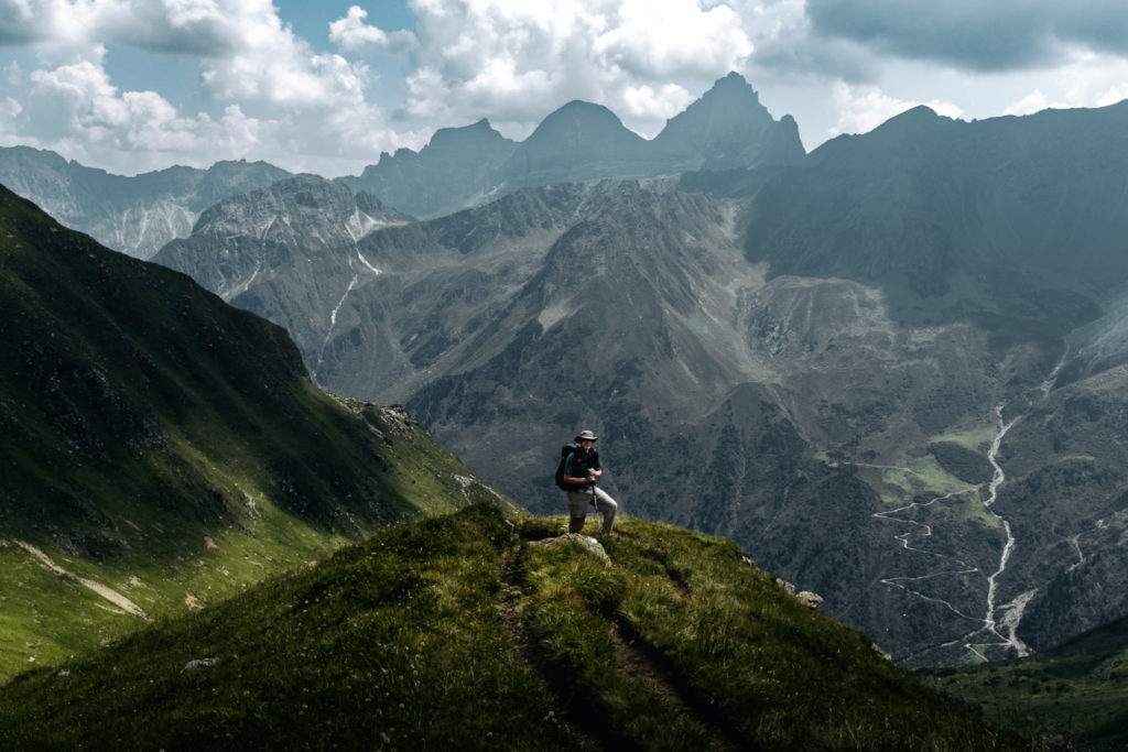
It was along here that Allan could see that I was struggling, and at this pace we risked getting caught out in a late afternoon thunderstorm. He offered to carry my pack to the top – he dropped his pack, took mine up a ways, dropped my pack, and returned for his – essentially hiking twice up the Pramarspitz. There was a bit of scrambling required to make this summit. But it was much easier for me without the 20+lb pack. Times like this is where finding a good hiking partner really pays off.

The Bremer Hütte is barely visible as the white dot near center on the second ridge back
From the Pramarspitz we could see the Bremerhütte in the distance up on a ridge, but it wasn’t clear where the trail would take us to get there. From here there was another big descent on fixed cables. The trail took us over to the head of an alpine valley, and then began to curve around back toward the next ascent. Lots of up and down through here. We stopped for lunch, where I tried to eat a ham and cheese sandwich I picked up at the hut, but I had a hard time eating it with no appetite. I knew I needed some fuel for the big climb ahead over the Hohe Burg and tried to choke down the sandwich but got only a bit past halfway. I finished the remainder a little later and again had to force myself to eat it.
Around here I was running low on water, but I had a LifeStraw. Allan filled up a disposable water bottle from a creek we crossed, and I was able to suck a small amount of water through the LifeStraw.
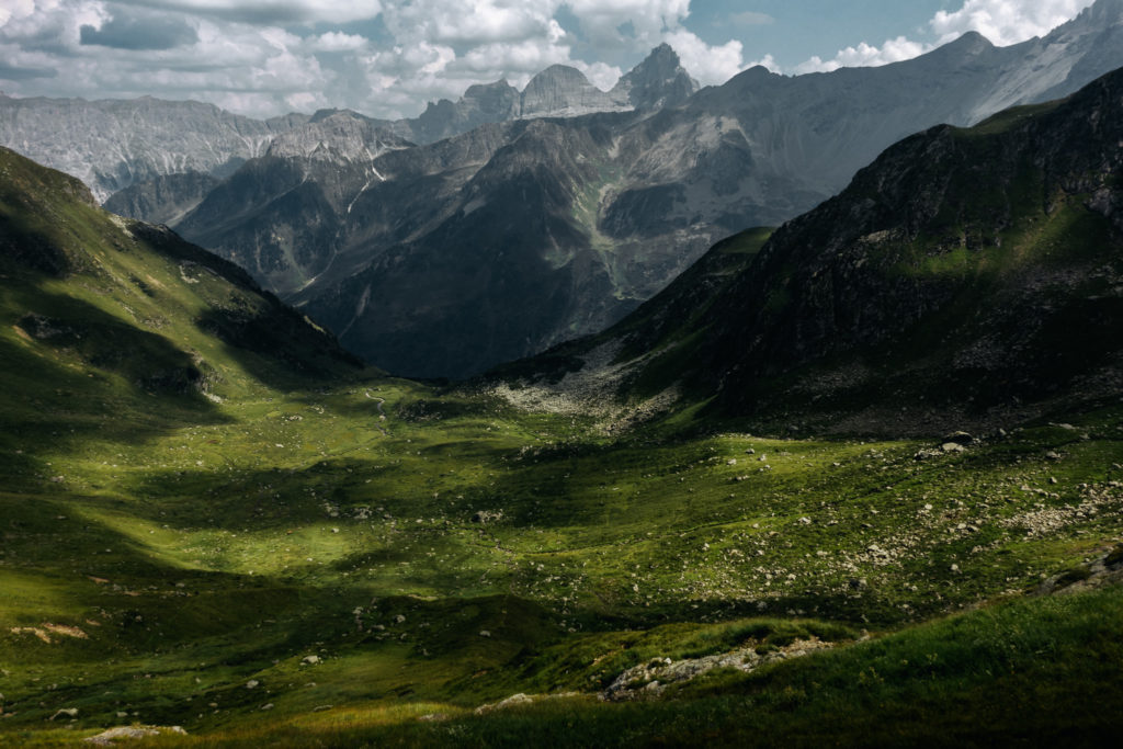
Eventually we reached the base of the cliffs on the far side of this valley where we started our ascent up the Hohe Burg. The trail gained elevation super steeply. The lower section was all talus, and the upper section a sort of mud/clay with good traction, but incredibly steep. We topped out after Allan again ferried my pack up some of the more difficult sections. I at least had the satisfaction of carrying my pack through the upper section and over the summit.
I had been a zombie all day – I observed that I was thinking of nothing other than where to place my next footstep and just kinda watching the ground move under my feet as we moved along the trail. I wasn’t talking with Allan – I just didn’t have the energy. I took only a few photos today.
From here we began yet another steep and rocky descent. A little before 6pm I acquired cell signal and called the hut to let them know we were on our way, but running late – estimated arrival now 7-7:30pm.
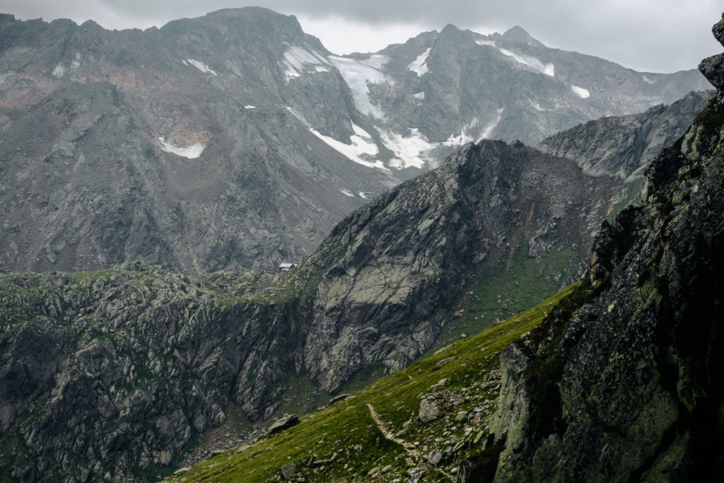
The trail descends to the left before climbing up the cliffs to the hut.
After a junction, the trail descended toward the base of the cliffs we’d have to ascend to get to the hut. We began to hear distant thunder now, and knew we needed to push on. But first. Allan figured out how to “push” water through the LifeStraw and filtered some water for us. This was a huge help as I had been rationing my water and was thirsty.
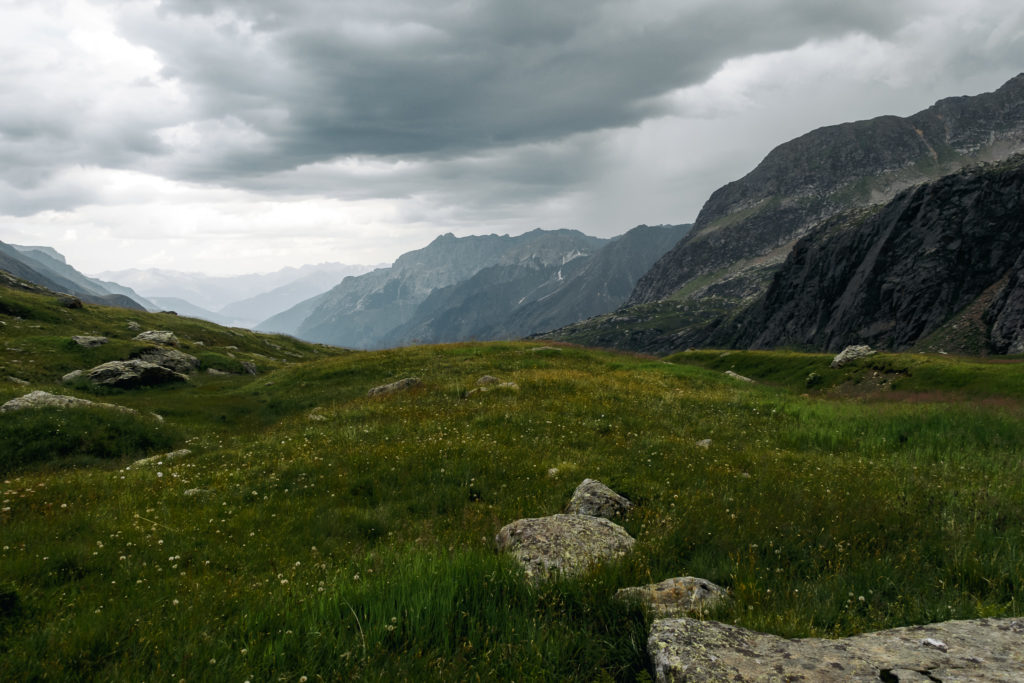
Today was a difficult day. Huge drops in elevation followed by steep climbs over ridge tops. Even the approach up to the hut is a significant climb. Plus the trail is super rocky, with excessively steep inclines/declines and lots of talus sections to cross.
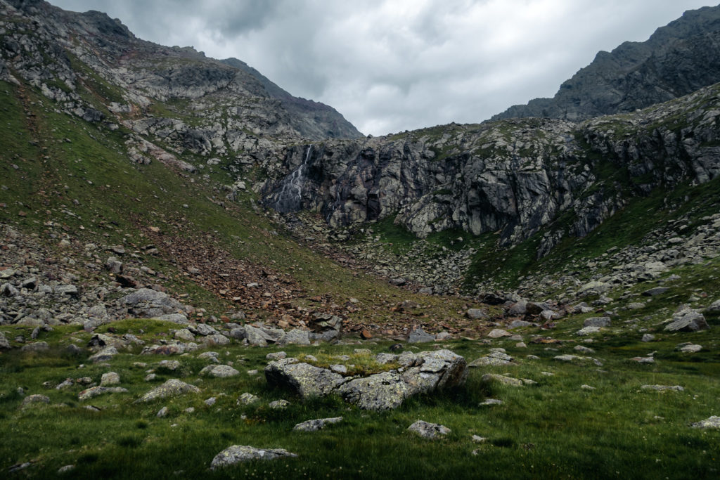
As we reached the base of the cliffs, the thunder moved closer and we could see lightning bolts a ways away. It started sprinkling, and since it was so warm we guessed (wrongly) that we’d get up the the hut before the heavier rain. But the lightning continued to move closer, the thunder became louder, and we were seeing much brighter flashes of lightning now.
As we started up toward the hut, it started raining hard. We figured we were ok getting wet, but we quickly got completely soaked. And then the rain turned to hail, with brighter lightening and strong wind. Allan had dropped his pack above near a cabled section and had come back down for my pack. We agreed we had no choice but to press on. But now the lightning was overhead with bright flashes and sharp loud thunder. Allan decided we should seek shelter from the lightning under an overhanging rock. But the full length of my legs stuck out and were exposed to driving rain and hail. It was amazing to see so much water running and spraying off of the cliffs – they were dry before the storm, and now there were waterfalls everywhere along the wall. We were both too focused on shelter to think of taking a picture, unfortunately.
As we were trying to figure out what to do with no good options, the hut called back at 7:10 to ask if we were ok. I answered on my watch so I wouldn’t have to fish out the phone from my waterlogged shorts. I told them we were sheltering under a rock and they just said “ok, bye”. I changed position to stand under a more sheltered spot beneath the overhang, where I could change into a dry long sleeve shirt and put on my GORE-TEX jacket to get my core warm and dry, which made a huge difference – I felt warm and dry now (at least above my waist). I then went out into the rain and hail to get Allan’s pack from above so he could change too.
The hut called back to ask if we needed assistance and I accepted. We didn’t know how long the storm would last and I didn’t like the idea of waiting it out and ascending in the dark with headlamps where the route might not be obvious.
Soon our “rescuers” arrived – the hut warden’s husband and the cook. They knew what they were doing, carried our packs for us, and placed us between them for the climb up (pretty sure they’ve done this before). By now I was glad they came for us – made it much easier for me to climb up to the hut.
As the lightning storm raged on, we expressed concerns about climbing on the cables now during the intense lightning and thunder. From their perspective, however, we need to get up and out of the storm.
They led us on a quick ascent through bright lighting, cracking thunder, and heavy rain. The trail, when not crossing rock or talus, was now a torrential creek and the water was ice cold – but my wool socks kept my feet warm and comfortable. I felt energized now (probably from adrenalin) and was having a blast scrambling up the rough terrain. I slipped and fell down a couple times, however (thankfully not over the side), indicating that I didn’t have as much strength as I thought I did.
We reached the hut after about 20 minutes, where there was a very close lightening bolt and explosive crack of thunder just as we were about to enter the hut. They had a round of schnapps waiting for us which was freakin awesome! We were kind of a big deal in the hut that night.
It was late but they offered us suppe (soup) and Wienerschnitzel which was absolutely delicious! They called the suppe “survivor soup”. We chatted with Merlin for a bit, who had come over with the German couple with whom we sat last night.
Tonight’s room had a much better sleeping layout with non-adjoining bunk-beds. Much easier and quieter to come and go during the night. I slept much better here, which I suspect was due to a big day of hiking plus lack of sleep the night before.
