An easier hike today over the Zillertal Alps into Italy to have lunch and then back to Austria for dinner.
Distance
miles
Elevation Gain
feet
Time
hours

One nice benefit of staying at the Schwarzenstein is that the bus up to the trailheads stops right at the front door. After breakfast, we hopped on the bus for a ride up the Schlegeis Alpine Road to the Schlegeis reservoir (stausee). Ginzling is the last village on the Zillertalstraße, so the bus was already standing-room-only when we boarded. At Breitlahner, the road becomes only a single lane, so traffic is held here. After 5-10 minutes, the bus started up again and we headed up the hill to the Schlegeis Stausee.
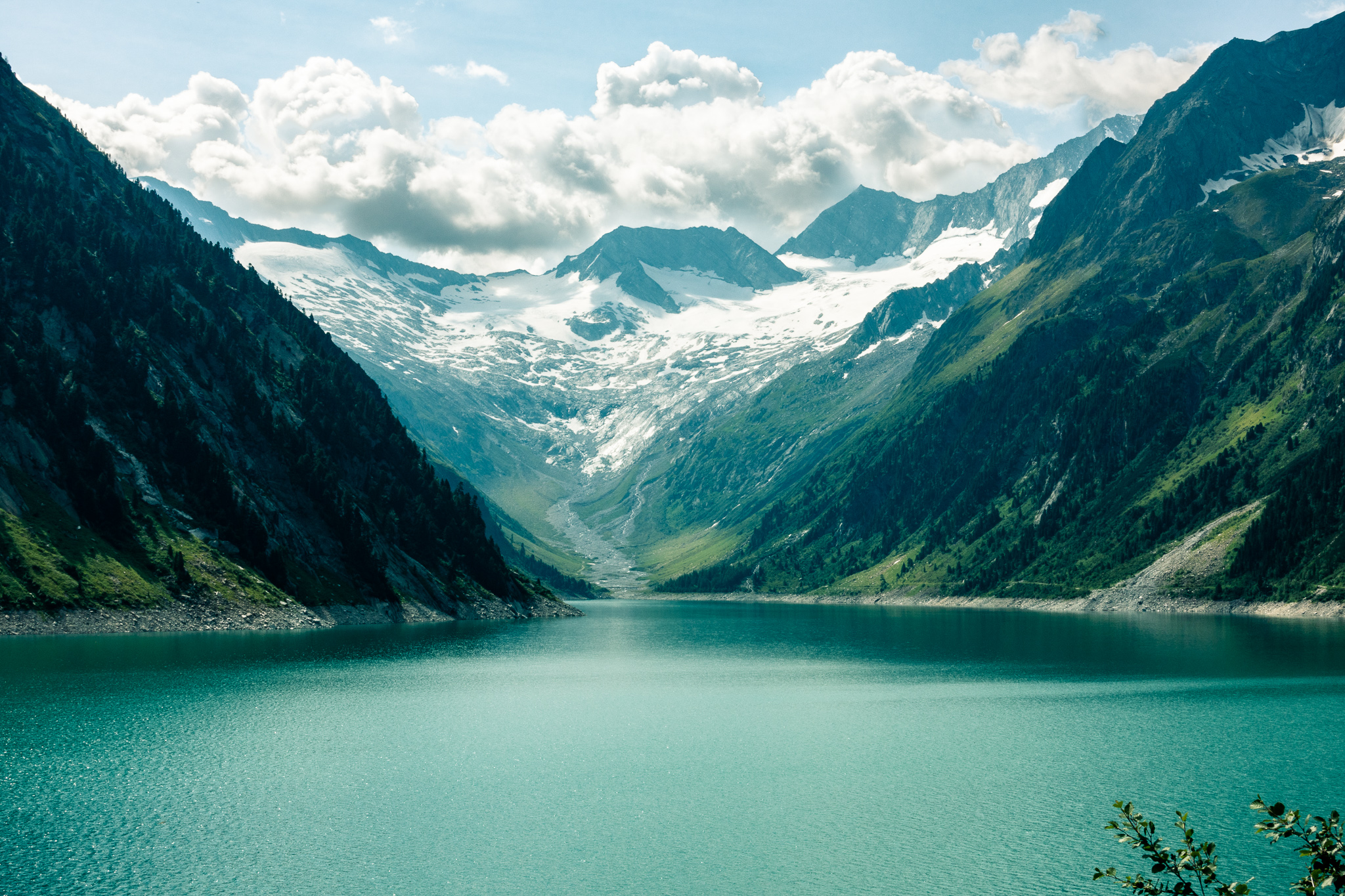
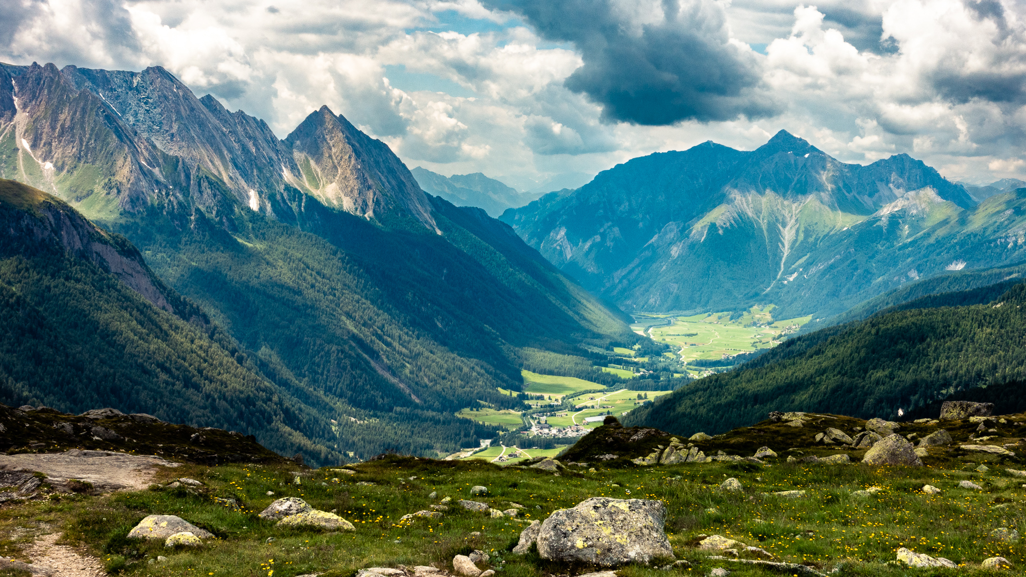
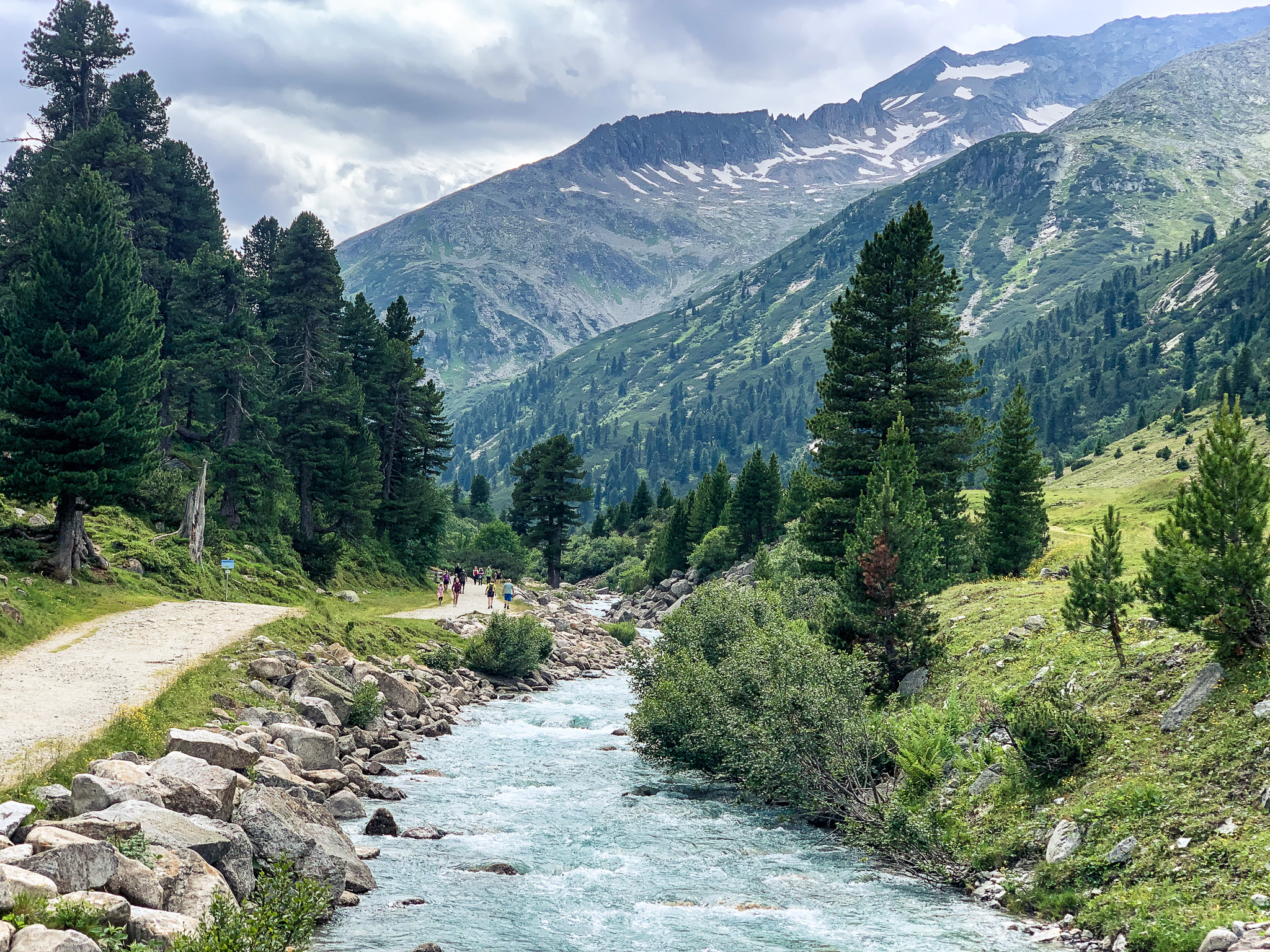
From the bus stop, we walked along the north shore of the Schlegeis Stausee over to the trailhead at the base of the Zamsergrund valley through which the Zamserbach flows.

We moved quickly over the first couple miles in the valley and then ascended to alpine meadows and a farm.

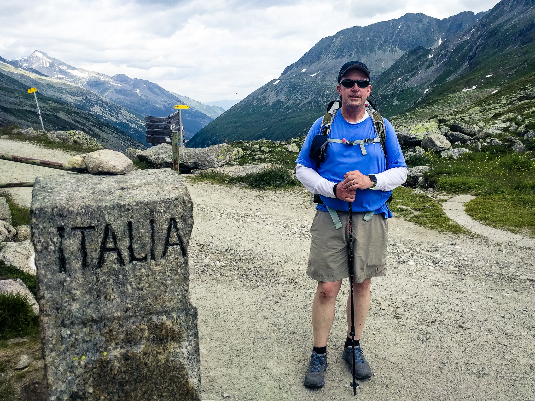
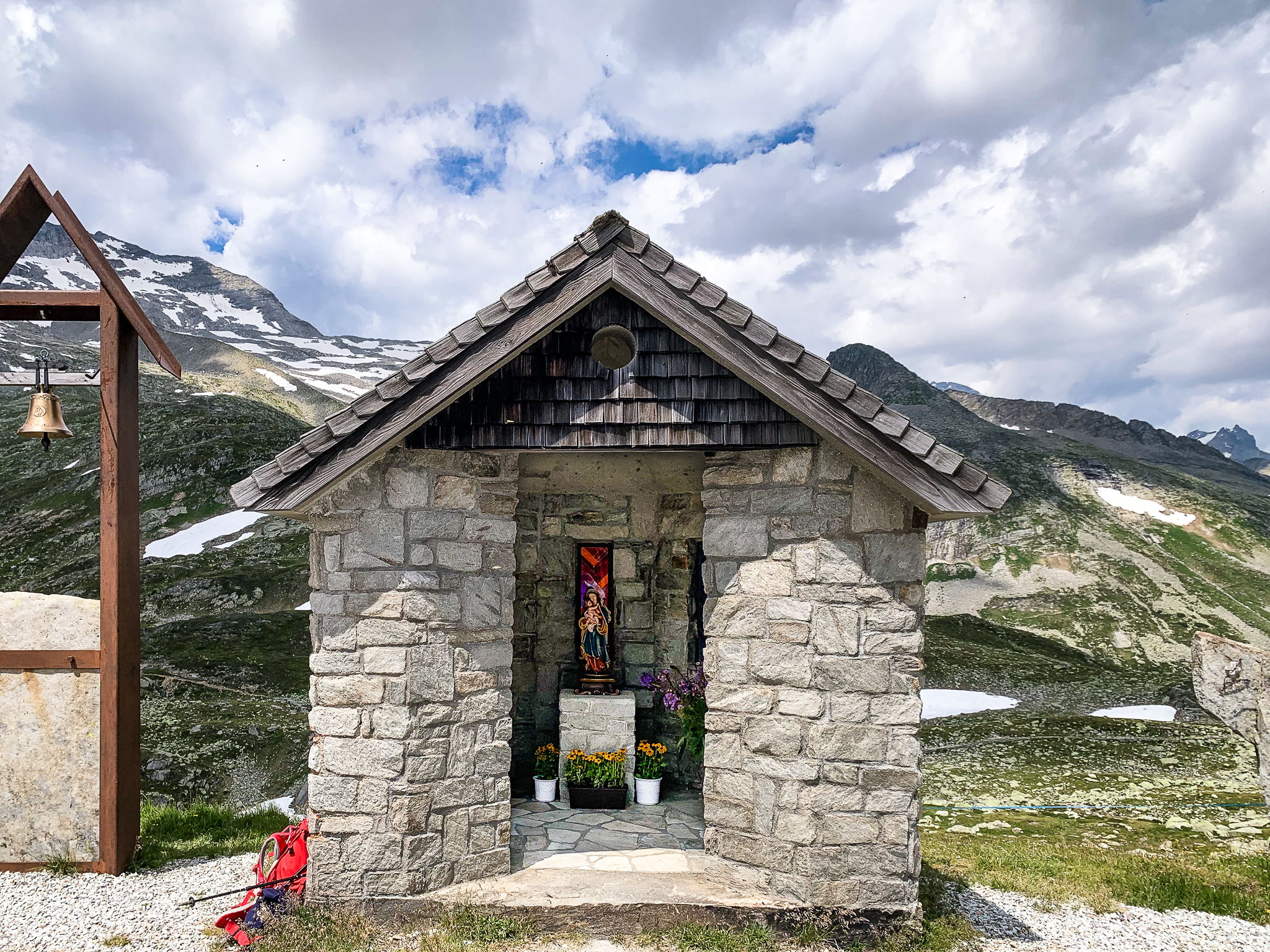
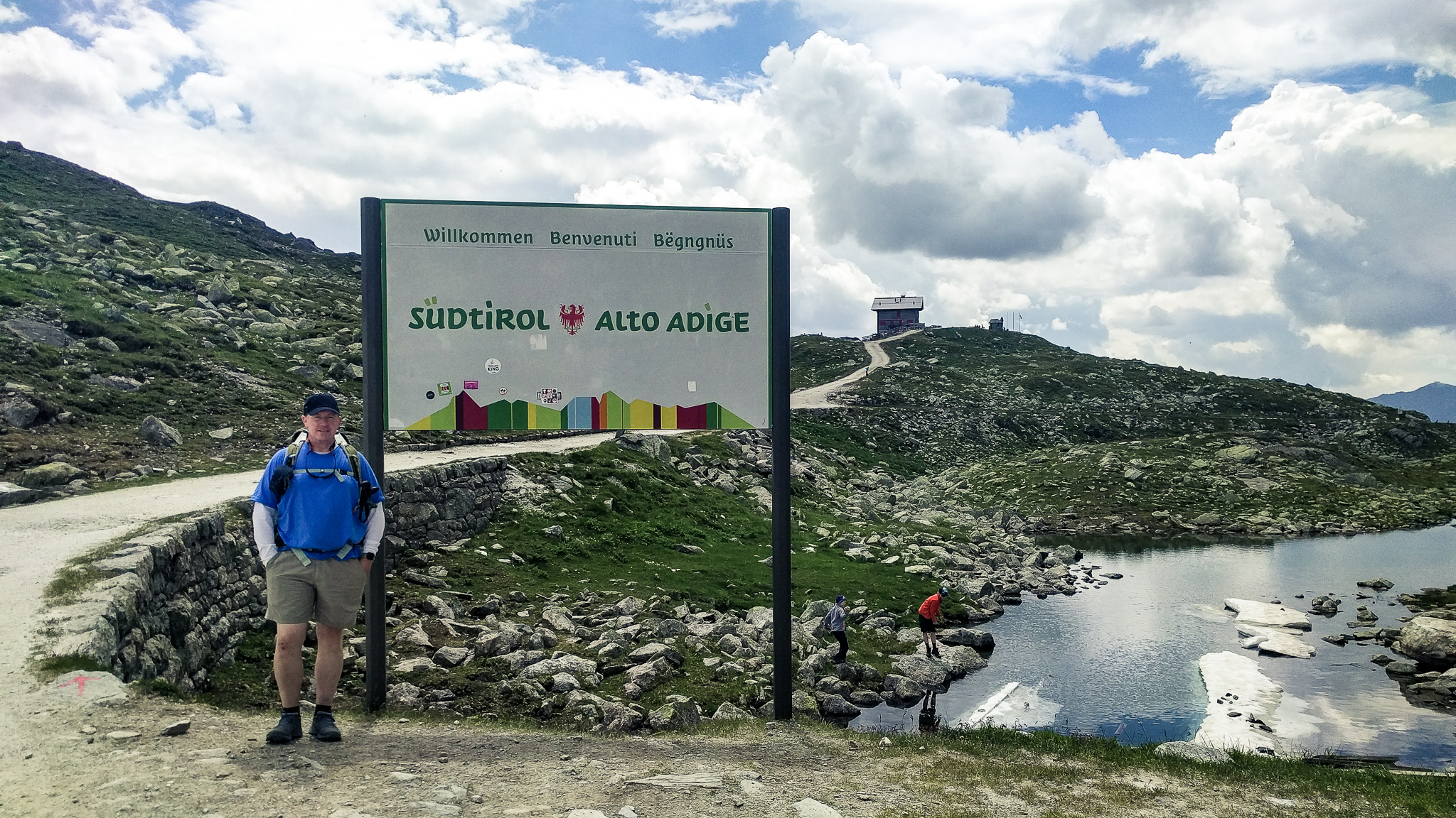
Above the farm, we opted for a more direct trail to the top. After toiling up the steeper trail for less than a mile we arrived at the top of the Pfitscherjoch and the Italian border.
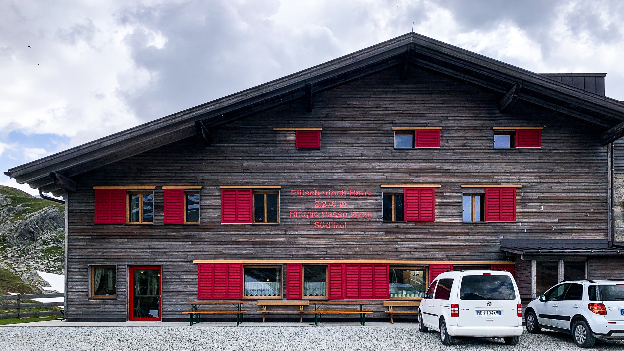
The Pfitscherjoch Haus is about a quarter-mile south of the border in Italy.

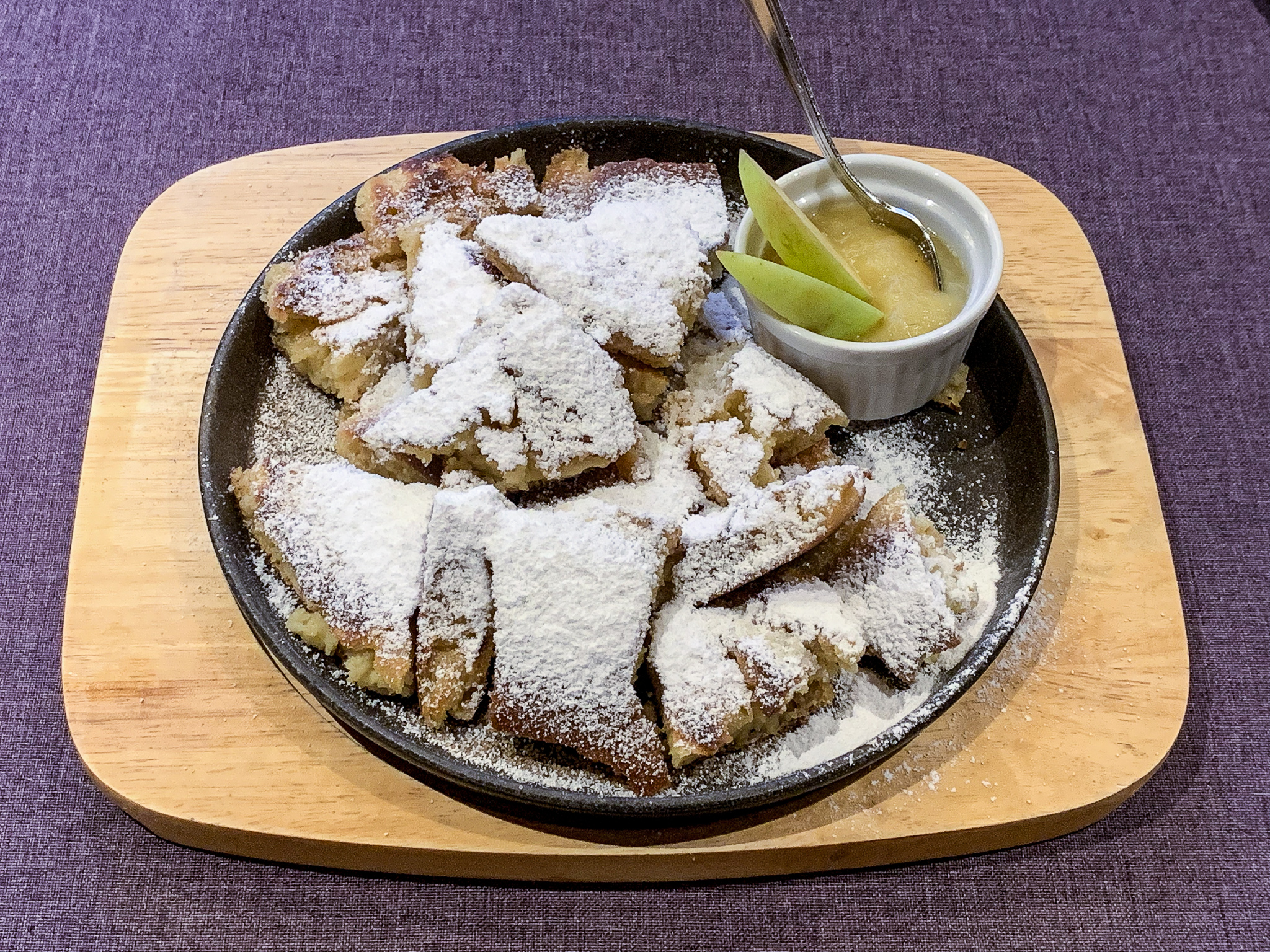
I panicked in the line at the cafeteria and ordered the only thing I recognized: spaghetti and meatballs. Allan, however, made a savvier choice.


360º panorama from the Pfitscherjochhaus (click and drag to pan and zoom)
After enjoying a delicious Italian lunch and the surrounding views, we set off on our return to the Schlegeis Stausee.
We hiked down the road on the return, taking a side-trail past the Lavitzalm farm, and retraced our route back down to the parking area at the Schegeis Stausee. The bus took us back down through tunnels and switchbacks to the front-door of the Schwarzenstein.
After the Getschnerscharte a couple days ago, I would have been content to do something less challenging over the next couple days. But Allan was more interested in our original plan: the Berliner Höhenweg over the 3,000m (10,000ft) Schönbichler.
We walked over to the Nature Park visitors center to inquire about the route and found someone in an office who explained that there was still a lot of snow in places, but how it was doable and what to expect.
We took a short trail through the woods, looping back to the Schwarzenstein where we cleaned up, packed, and had dinner in the hotel restaurant: Weinerschnitzel, Kaiserschmarrn, and Zillertal Bier (unfortunately not distributed beyond the Zillertal valley).