Our highest crossing on this trip: the 3,134m (10,282 ft) Schönbichler Horn. This section of the Berliner Höhenweg starts at the Furtschaglhaus and ends at the Berliner Hütte, the Grand Dame of the Zillertal huts.
Distance
miles
Elev Gain
feet
Elev Loss
feet
Time
hours


The storm from last night dissipated, but the weather still looked a bit ominous. After breakfast we got off to an early start around 6:40 am, as we knew we had a big day ahead.

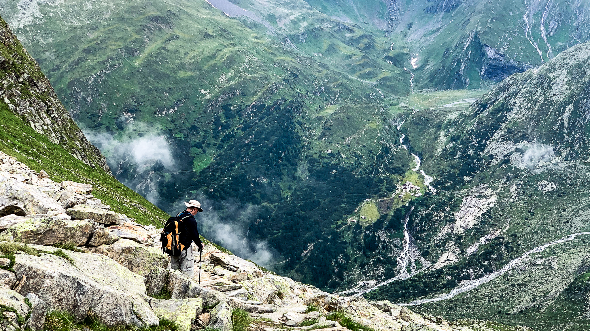
The Berliner Höhenweg trail climbed steeply at times above the Furtschaglhaus, more or less following a ridgeline toward the Schönbichler Scharte (the notch below the Horn).

As we progressed further upward, we became closer to the peaks above and the Schönbichler Horn and Scharte came into view, but we couldn’t yet see the route to the top.
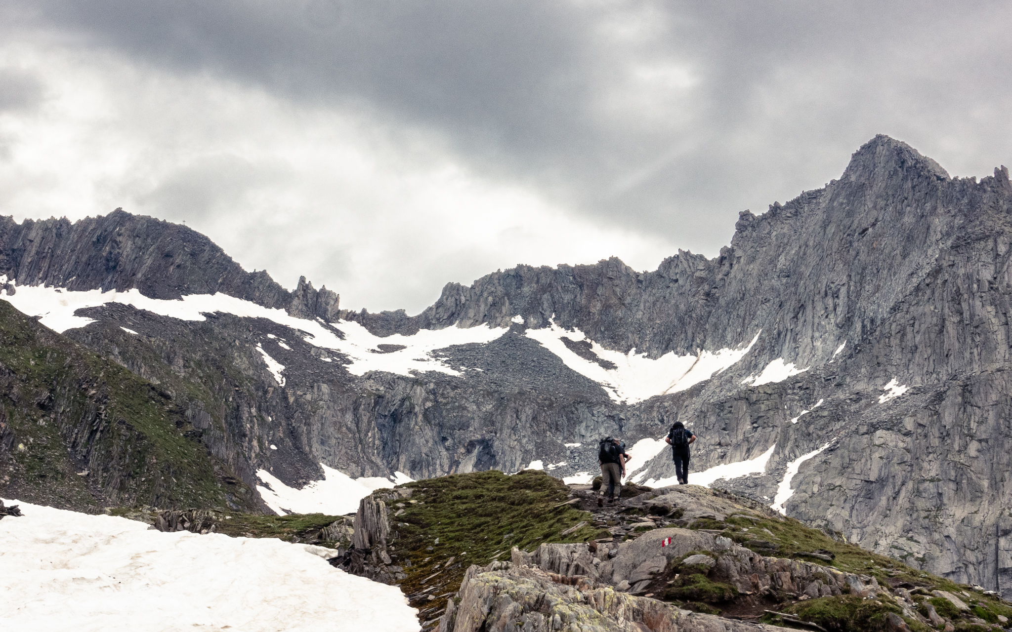
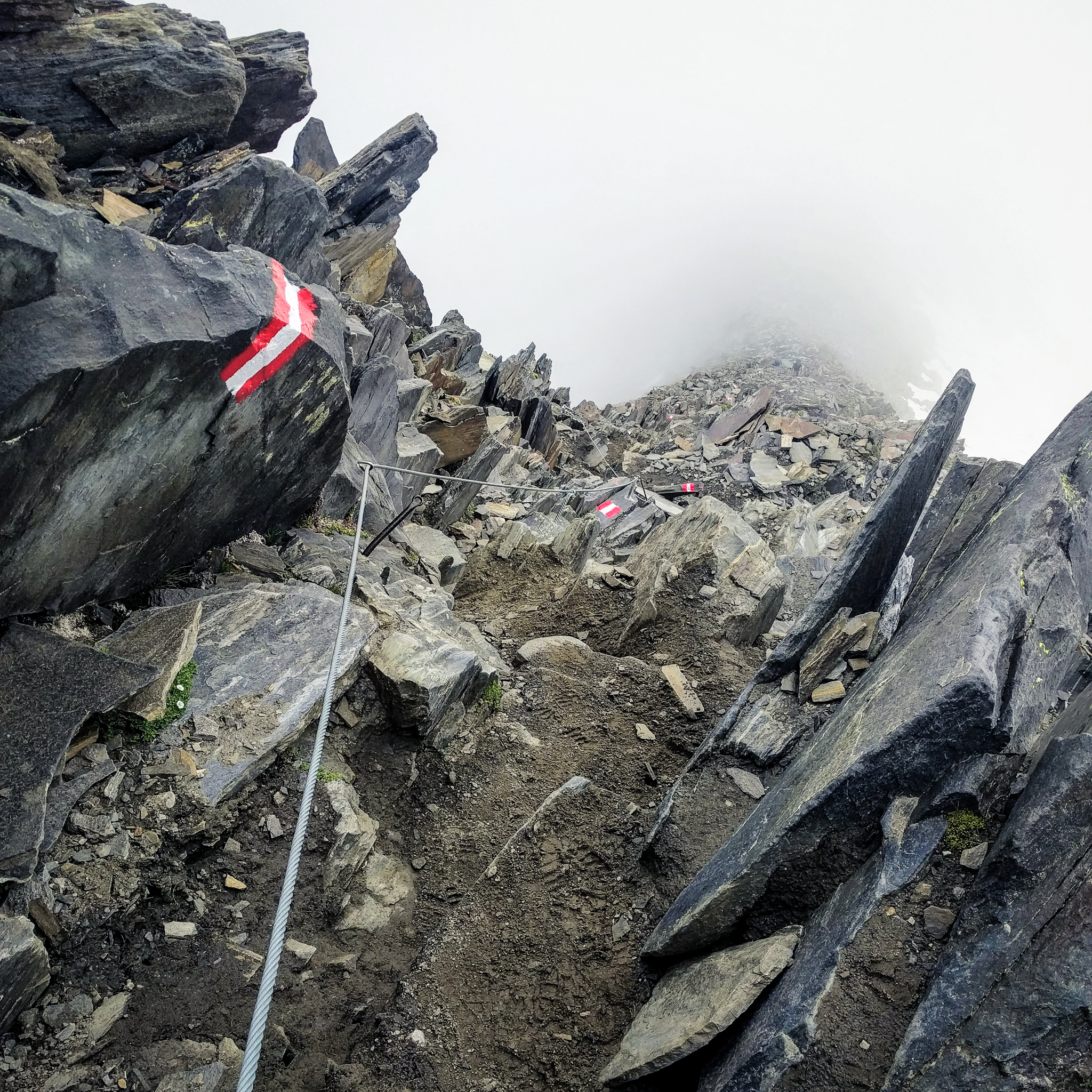
Further up, the trail switched back a final time to a large cairn, and now we could see the approach to the Schönbichler Scharte following one more long ridgeline to a gully leading up the scharte (notch) with a steep snowfield to ascend below the gully. The trail became steeper and faint at times, but well marked and walkable without much need to use hands.

We slipped on our microspikes to climb the snowfield just below the gully, as a slip and fall here could be disastrous. Above the snowfield in the gully there wasn’t really a trail; just waymarkers to provide direction and cables affixed to the rocks on the left side for support. This section required climbing with hands and feet.

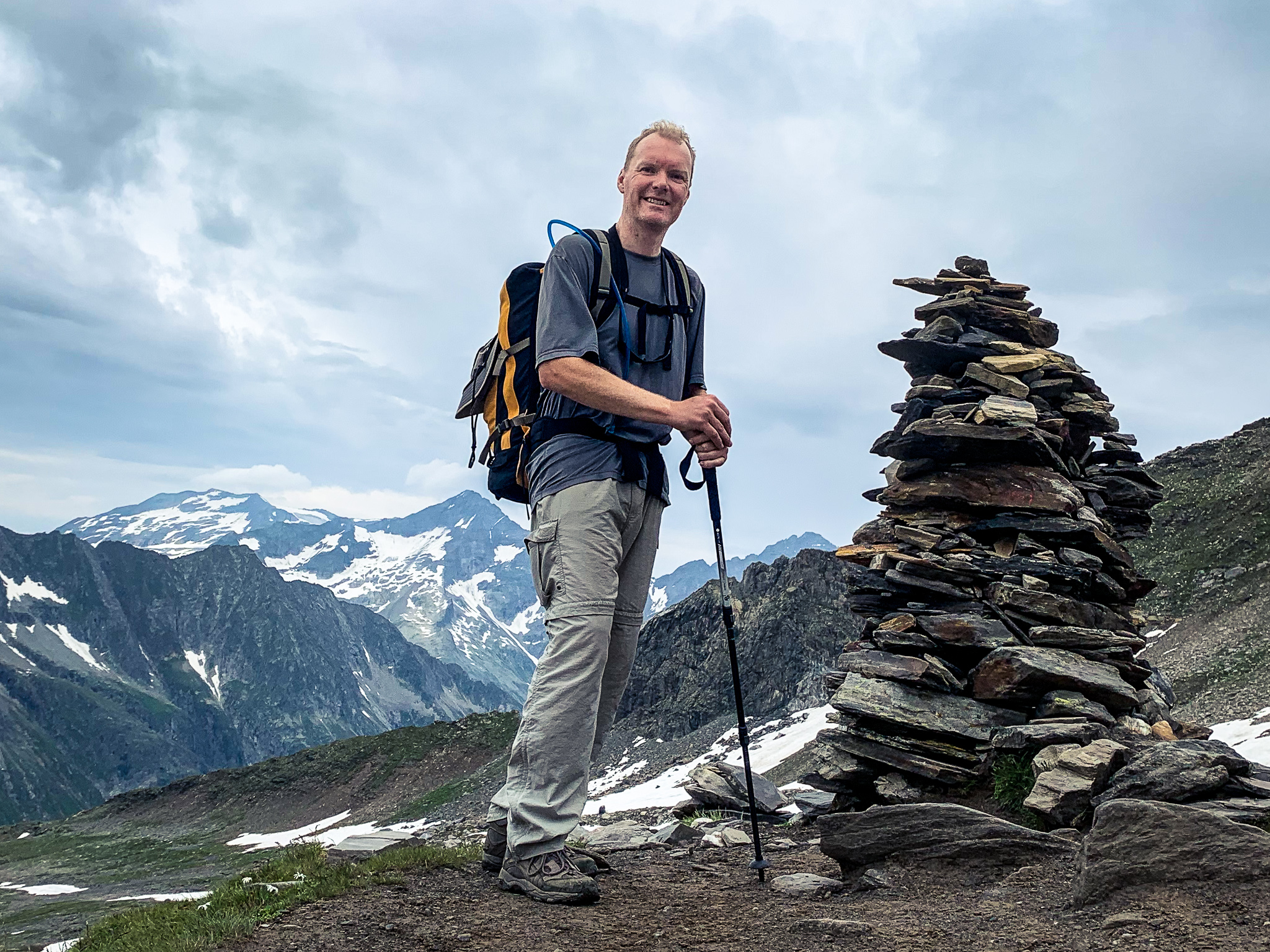
Once up the gully, we stood atop the Schönbicher Scharte and savored the view ahead!

Unfortunately, clouds were continuing to build and swirl in so the views to either side of the Schönbichler Scharte were somewhat obstructed.
360º panorama from the Schönbichler Scharte (click and drag to pan and zoom)

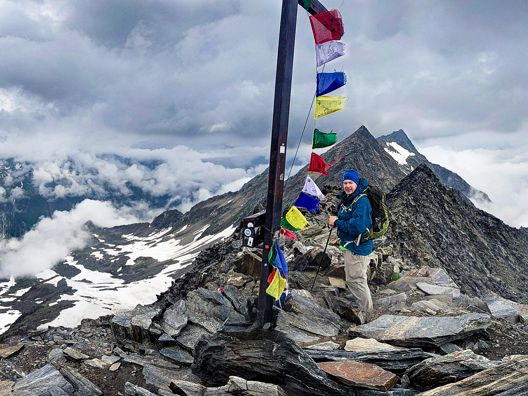
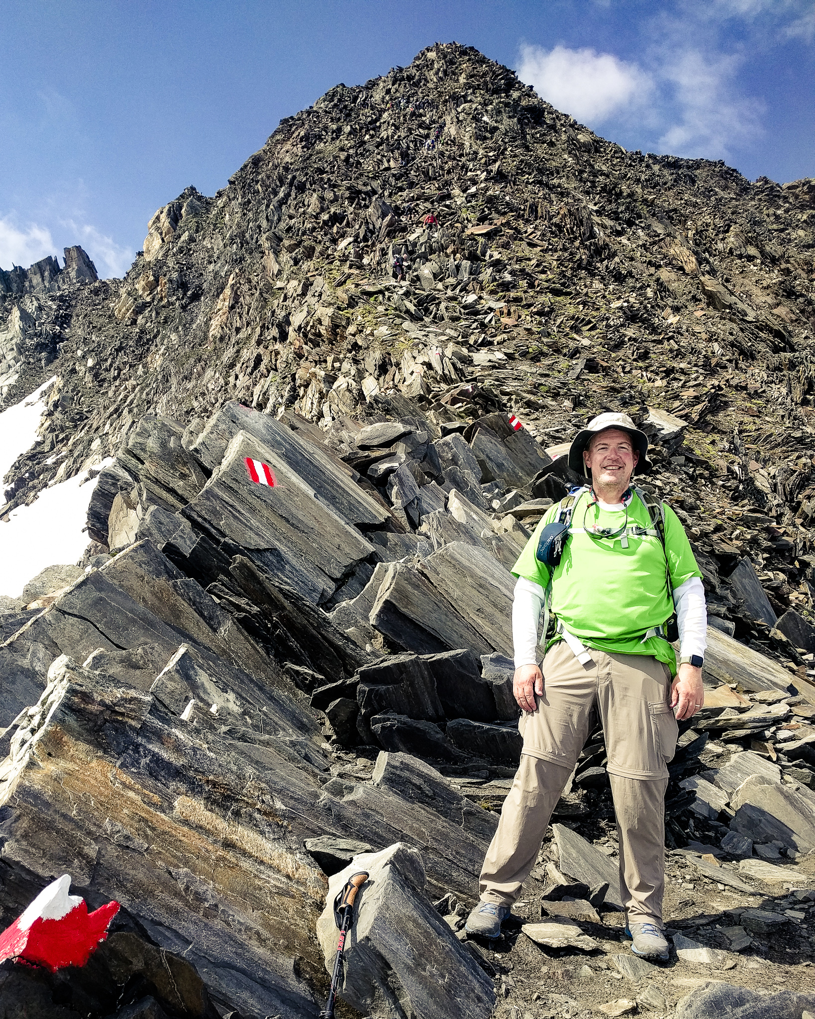
From the scharte (notch) it was a short climb up to the summit of the Schönbichler Horn!

360º panorama from the summit of the Schönbichler Horn (click and drag to pan and zoom)
A large group of teenagers began to arrive on the summit. They were on multiple rope teams with mountain guides on each. We had taken our pictures and enjoyed the view, so we left the summit and began our descent.
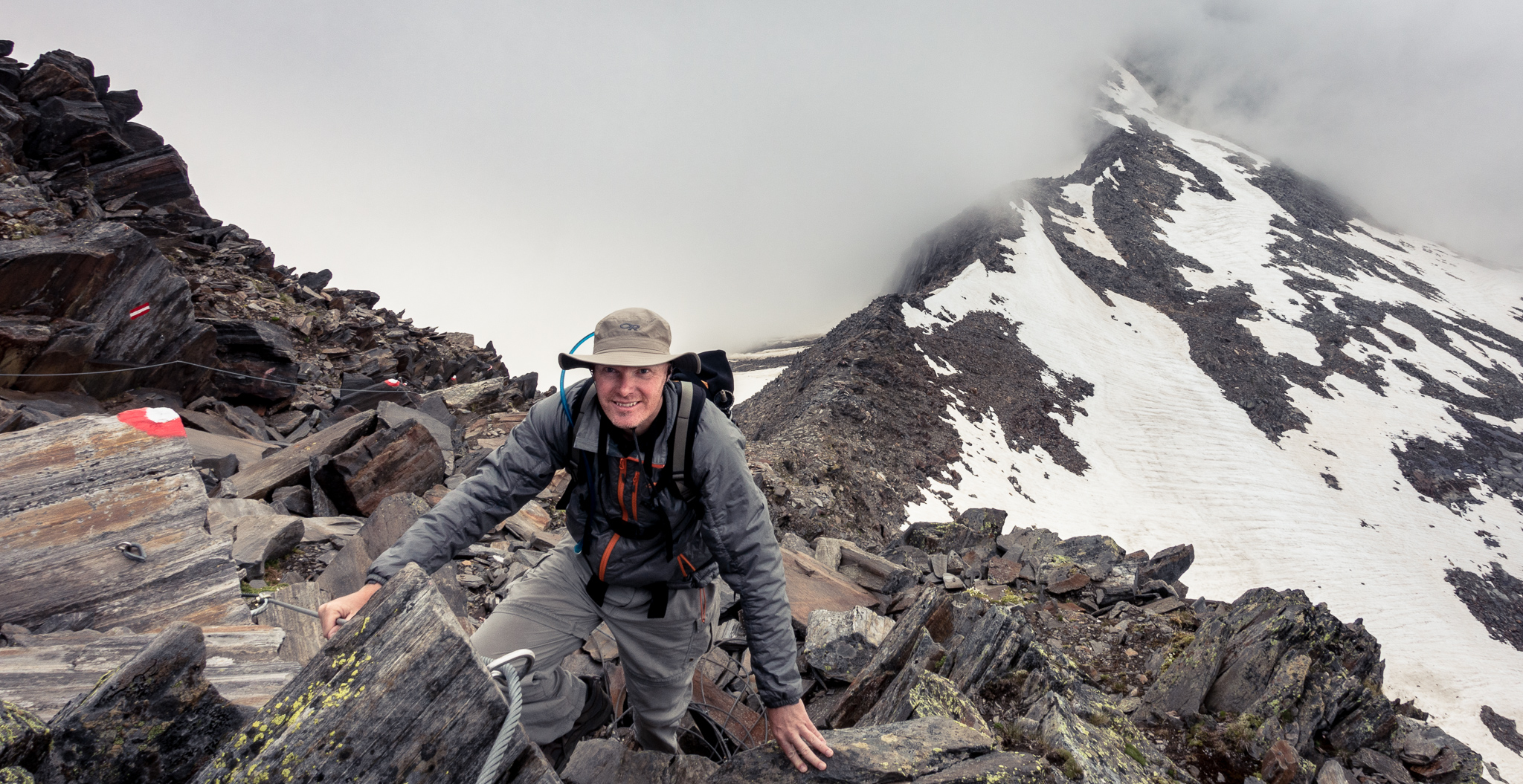
The steep descent from the Schönbichler Horn to the ridge below was the highlight of the day for me. Climbing down with the aid of the cables was a lot of fun.

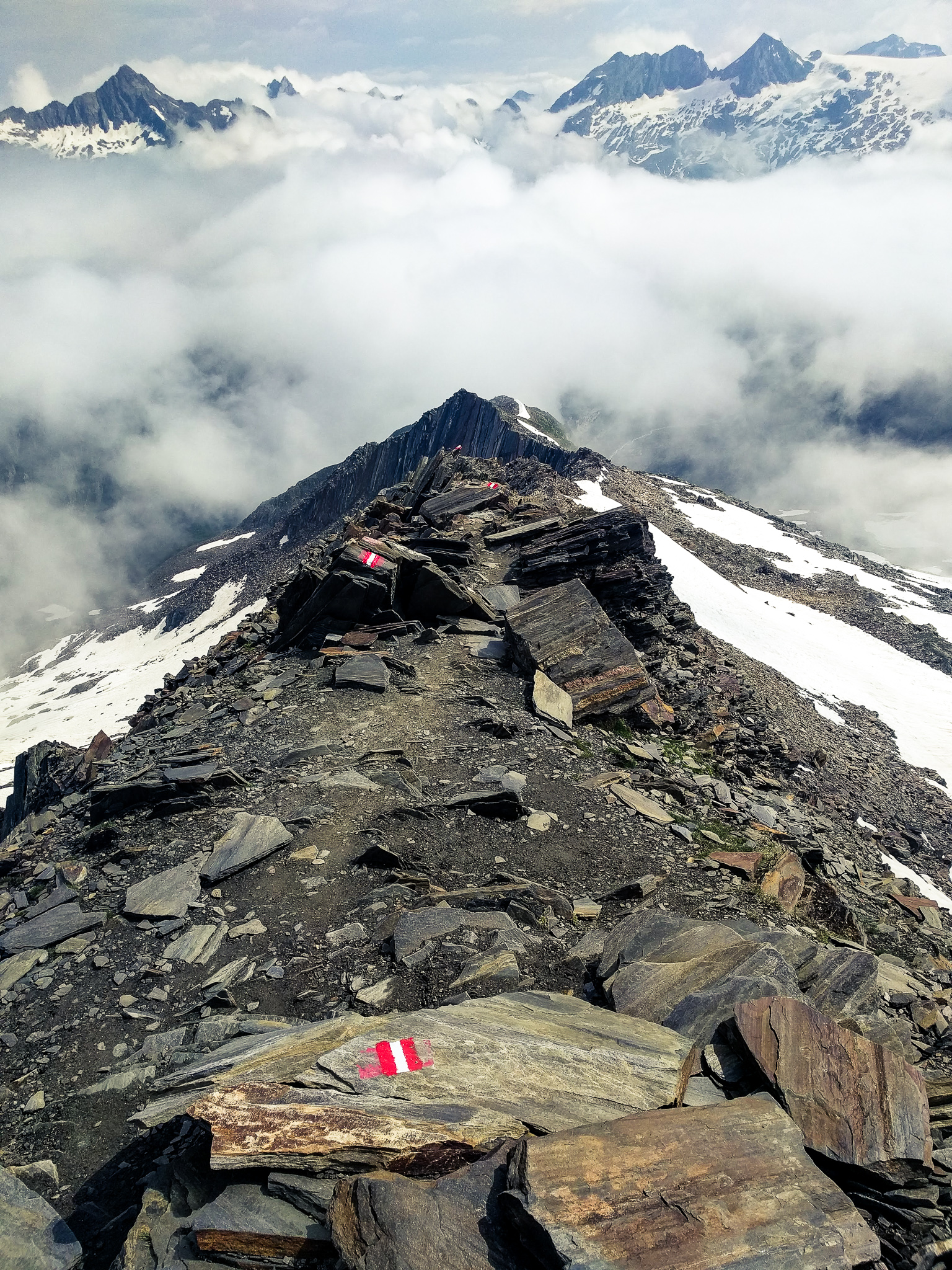
The climbing route ended at the base of the Schönbichler Horn on the ridge below, and the hiking trail resumed here.
The trail followed the top of the ridge for a while, then descended the side of the ridge. We decided to stop for lunch along the way. For the first time, we bought a lunch box from the hut. Just as we finished lunch, it started raining hard. We quickly put on our rain gear, packed up, and headed down the trail. It rained on and off again for a while, and the trail was slippery in places – especially when on solid rock or hopping across talus. Thankfully there were cables again in a couple of steep and exposed sections.
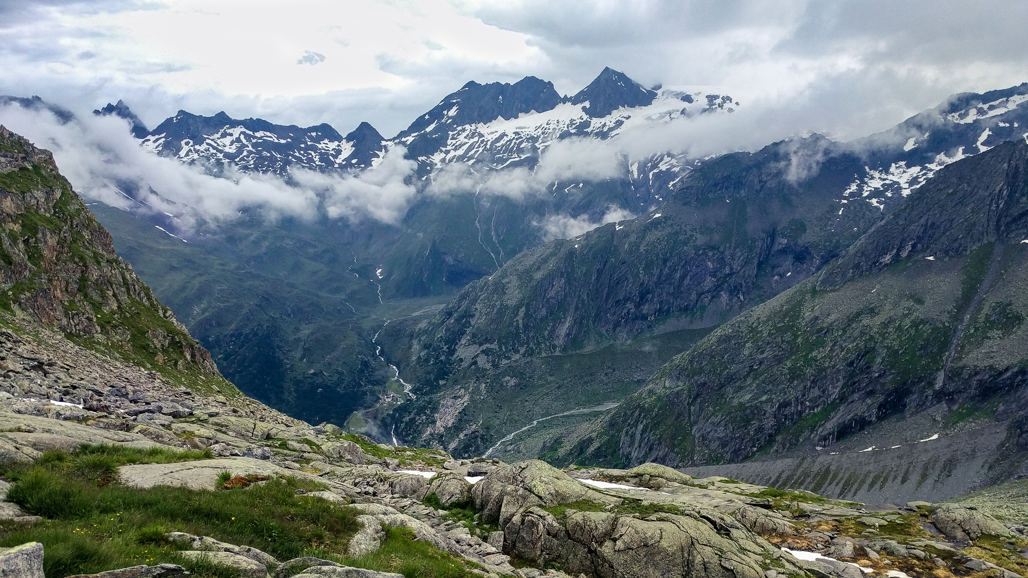
The trail was pretty steep for a while as we descended down to the lateral moraine left from the Waxeggkees glacier after it retreated above. We stopped briefly for a snack and rest, and the large group of teenagers, adults, and guides passed us.

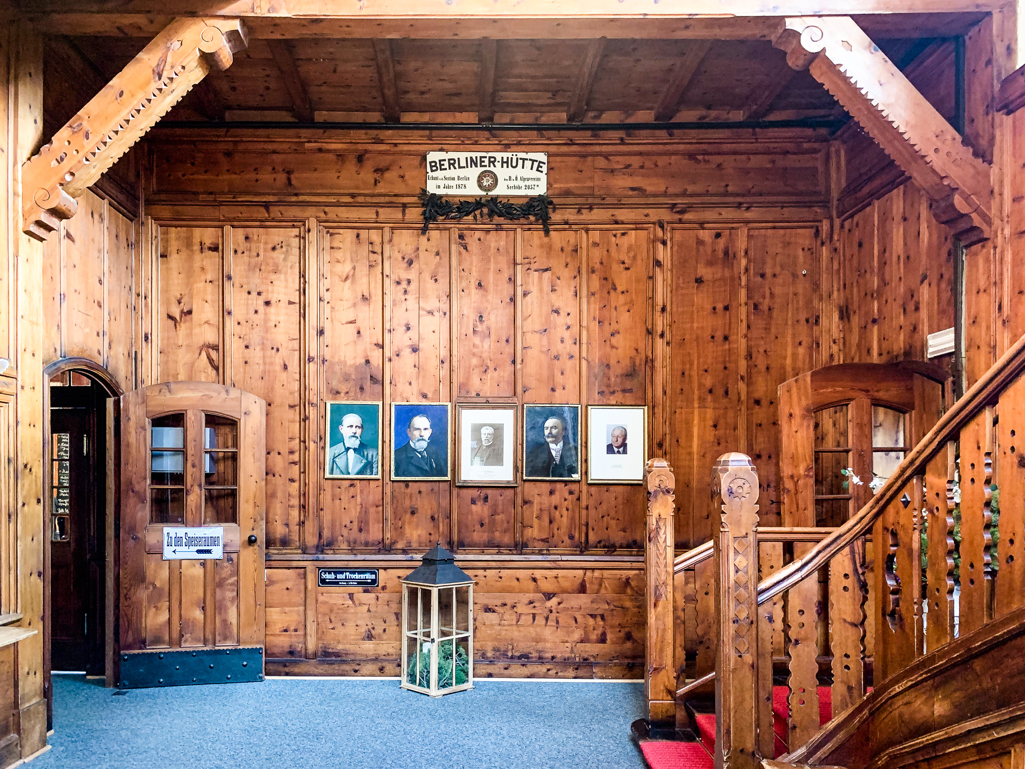
We continued down to the Zemmgrund valley. Near the valley floor, we passed the large group of teenagers again. We hopped over the Waxeggbach, the creek flowing down from the Waxeggkees glacier, and then a ways further crossed a bridge over the Hornkeesbach. From here the trail climbed up 275 feet to the Berliner Hütte. 275 feet might not sound like much but after an almost 3,000ft climb over the Schönbichler Horn followed by almost 4,000ft descent, I was wiped out and not happy about this final uphill to the hut. But I wanted to get there before the large group behind us (to avoid a long line checking in or getting food), so I attacked this section like a wildman; grunting and swearing as time and again I came up over a rise only to find another hill to climb up. Eventually, I reached the Zemmbach with the Berliner Hütte just on the other side of the bridge! I entered the sonnenterrasse (sun terrace), threw my pack to the ground, and went inside to check-in. The check-in process was more regimented here, insisting on payment up front before giving access to our room (despite my histrionics).
We went up to our room, moving slowly up the stairs on my tired legs.

We dropped off packs in our room up on the third floor,

and then returned to the sonnenterrasse for a Zillertal beer and Kaiserschmarrn.

After enjoying the views, snack, and beers, we went back in to clean up and get ready for dinner.

Once again, I had a delicious Wienerschnitzel for dinner.

After dinner, we retreated to our room to hang out for a while before bed. I was so tired after the big day that I struggled to maintain a conversation with Allan; uttering gibberish at one point as I nodded off in mid-sentence. I would sleep very well tonight.