Today I undertook the Sefinenfurgge, the first of two of the highest passes on the Alpine Pass Route.
Hiking Distance
miles
Elevation Gain
feet
Total Time
hours

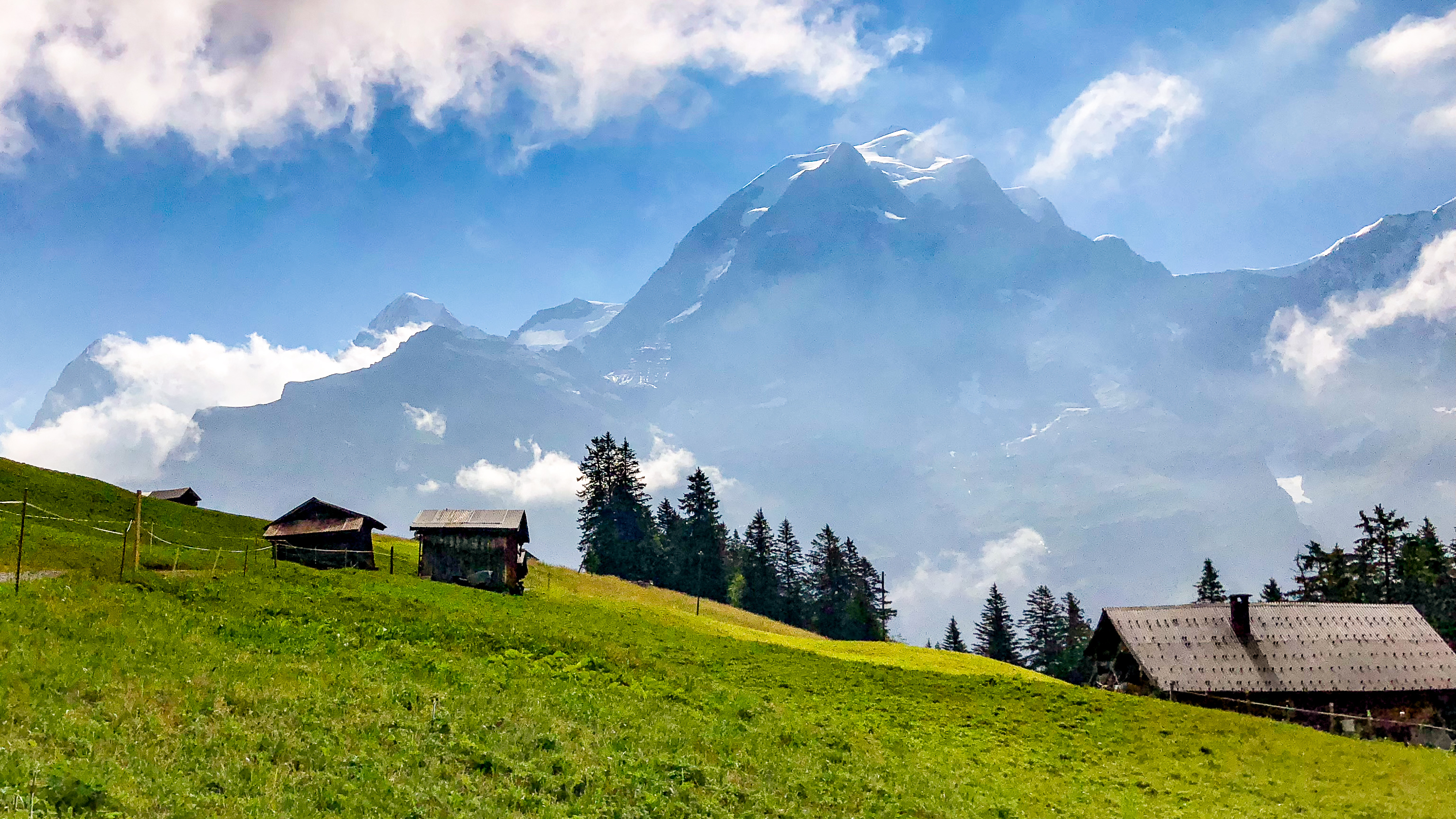
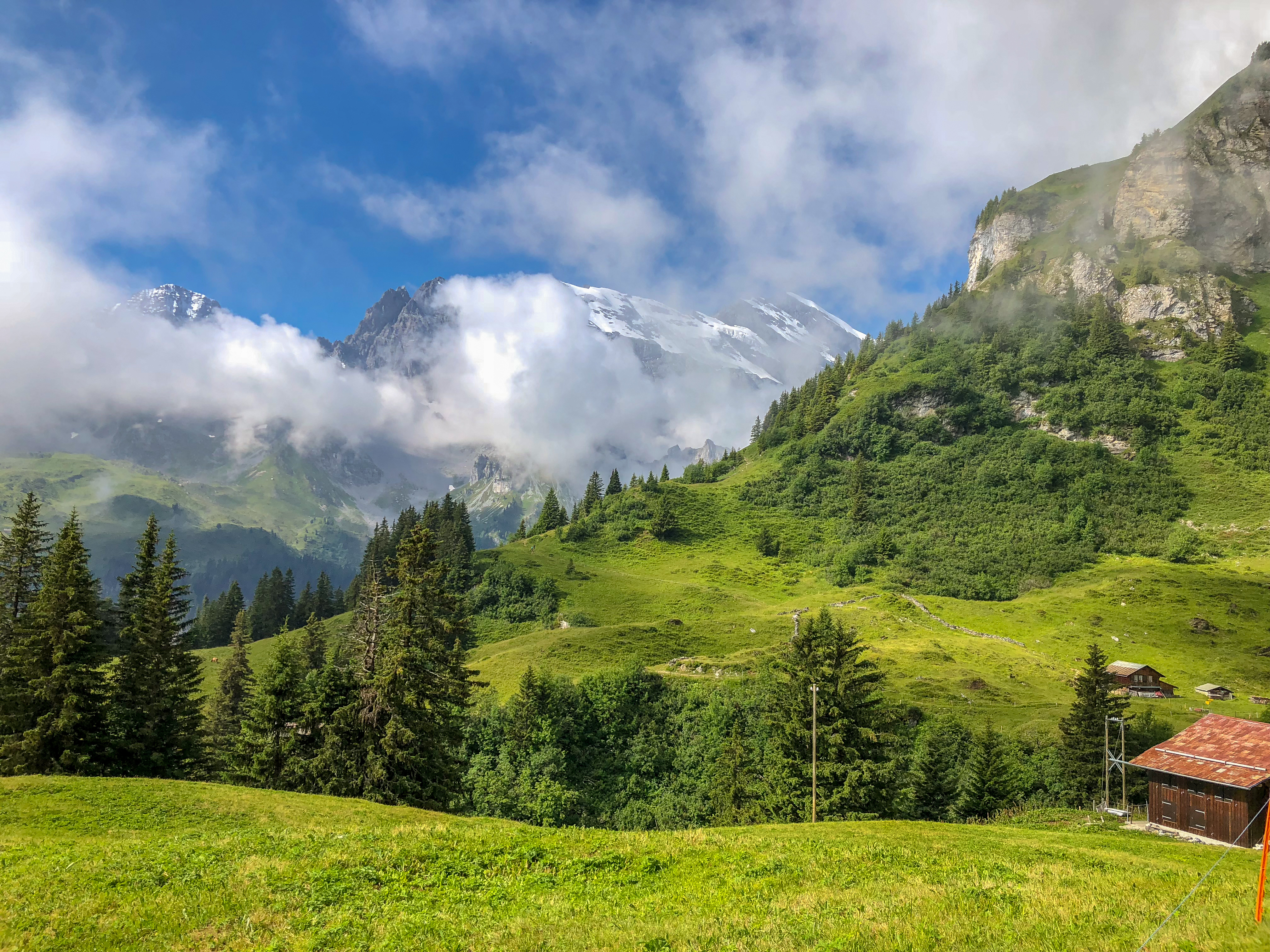
After breakfast at the Pension Gimmelwald, I walked over to the cable car station and rode the Schilthornbahn up to Mürren.

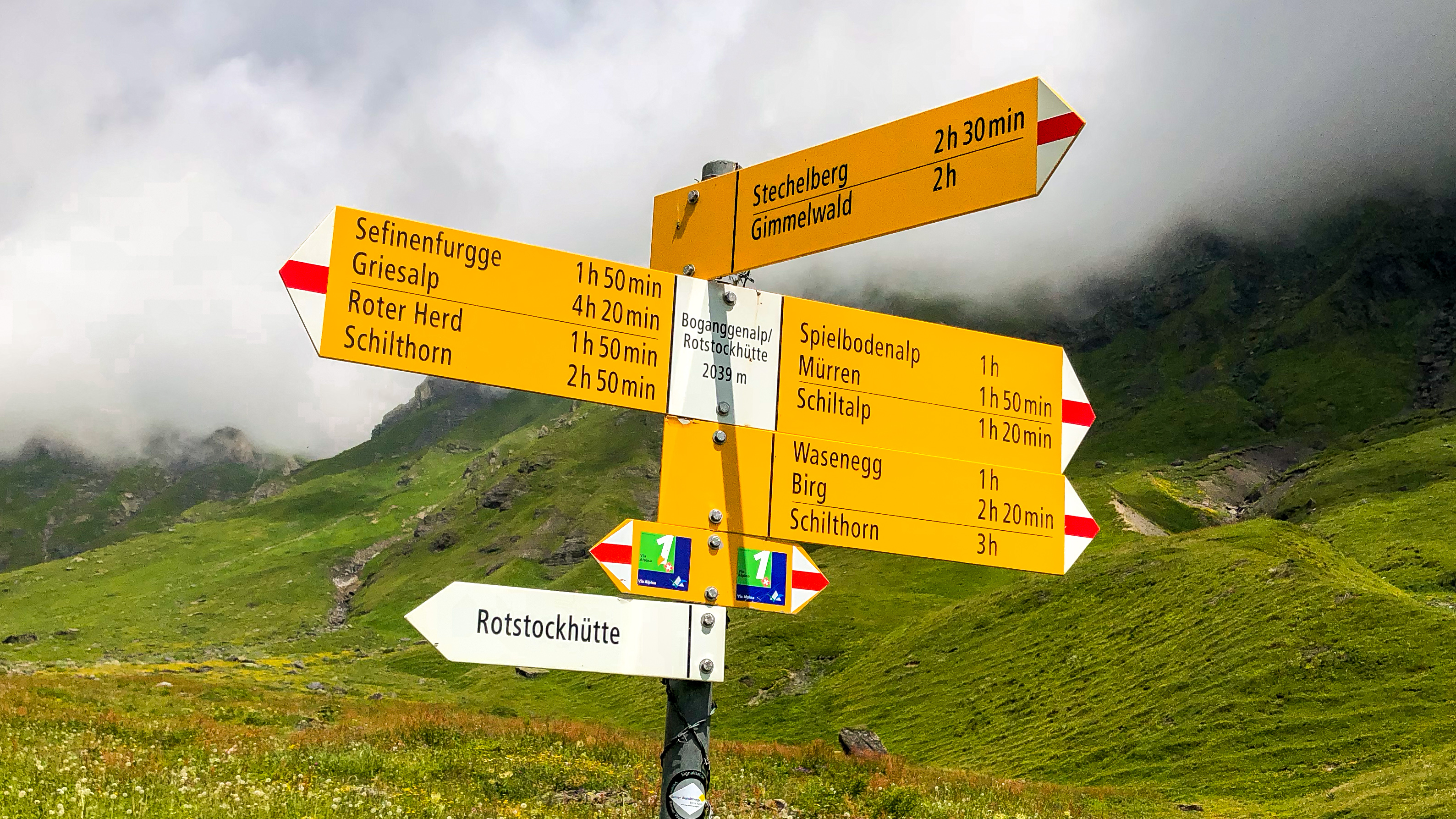
From the upper cable car station in Mürren, the trail wound uphill through beautiful meadows and past rustic farmhouses over to a sprawling farm at Spilboden. The first steep section began just past here, climbing up and over the Bryndli (height of the Space Needle) with great views of Gimmelwald far below.

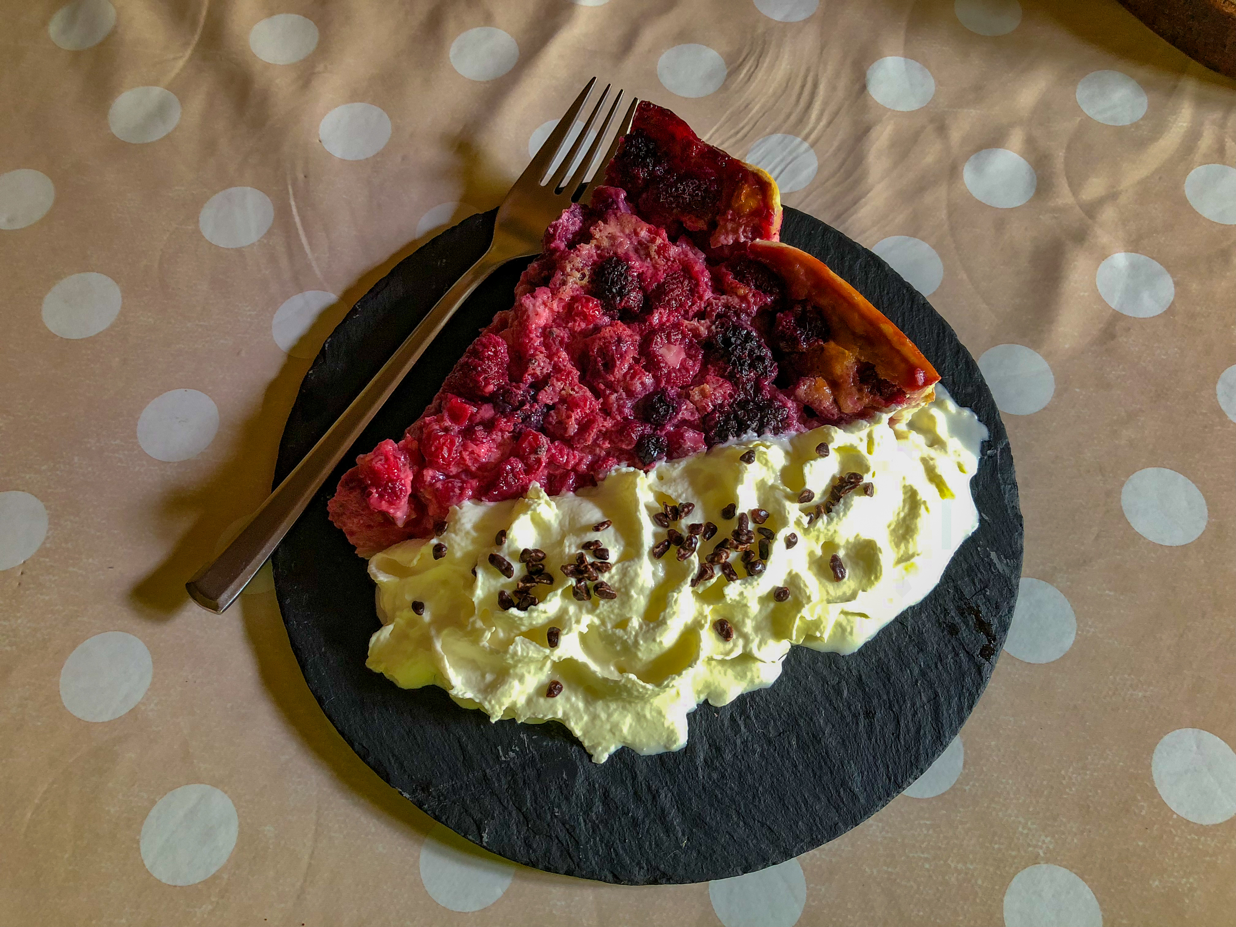
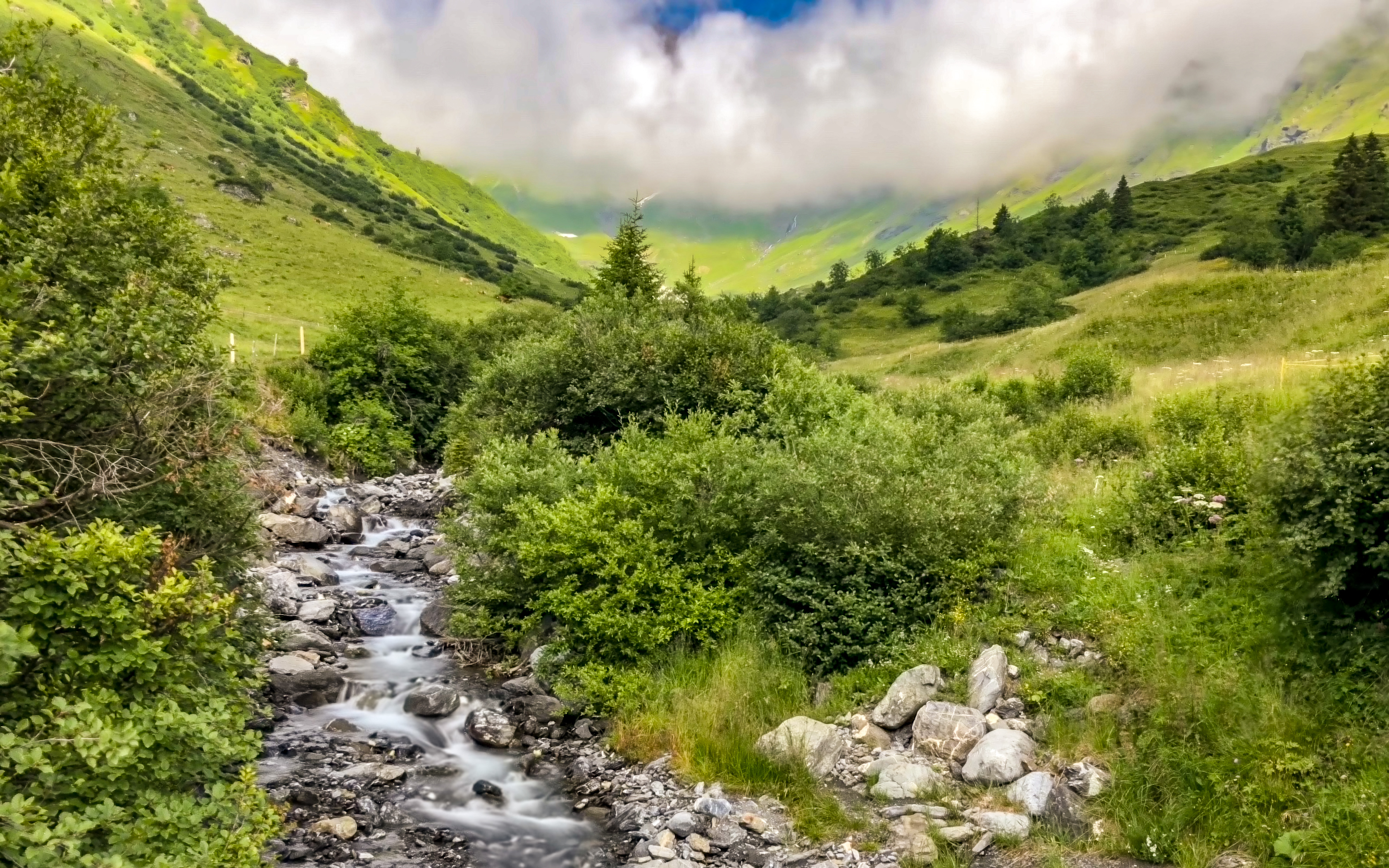
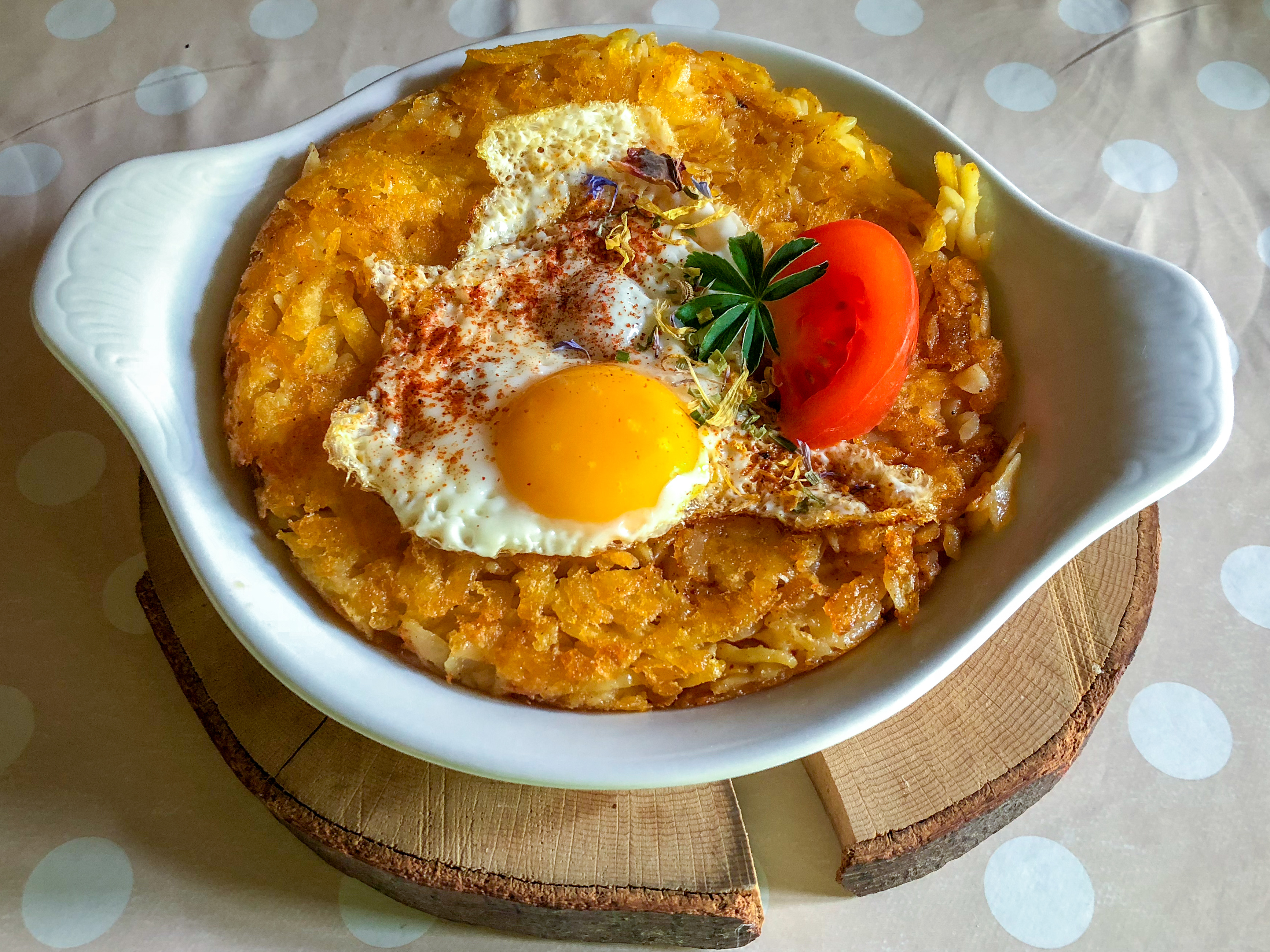
Once past the Bryndli it was an easy couple miles to the Rotstockhütte, where I stopped for lunch and enjoyed my first Rösti (and a delicious fruit tart with fresh cream).

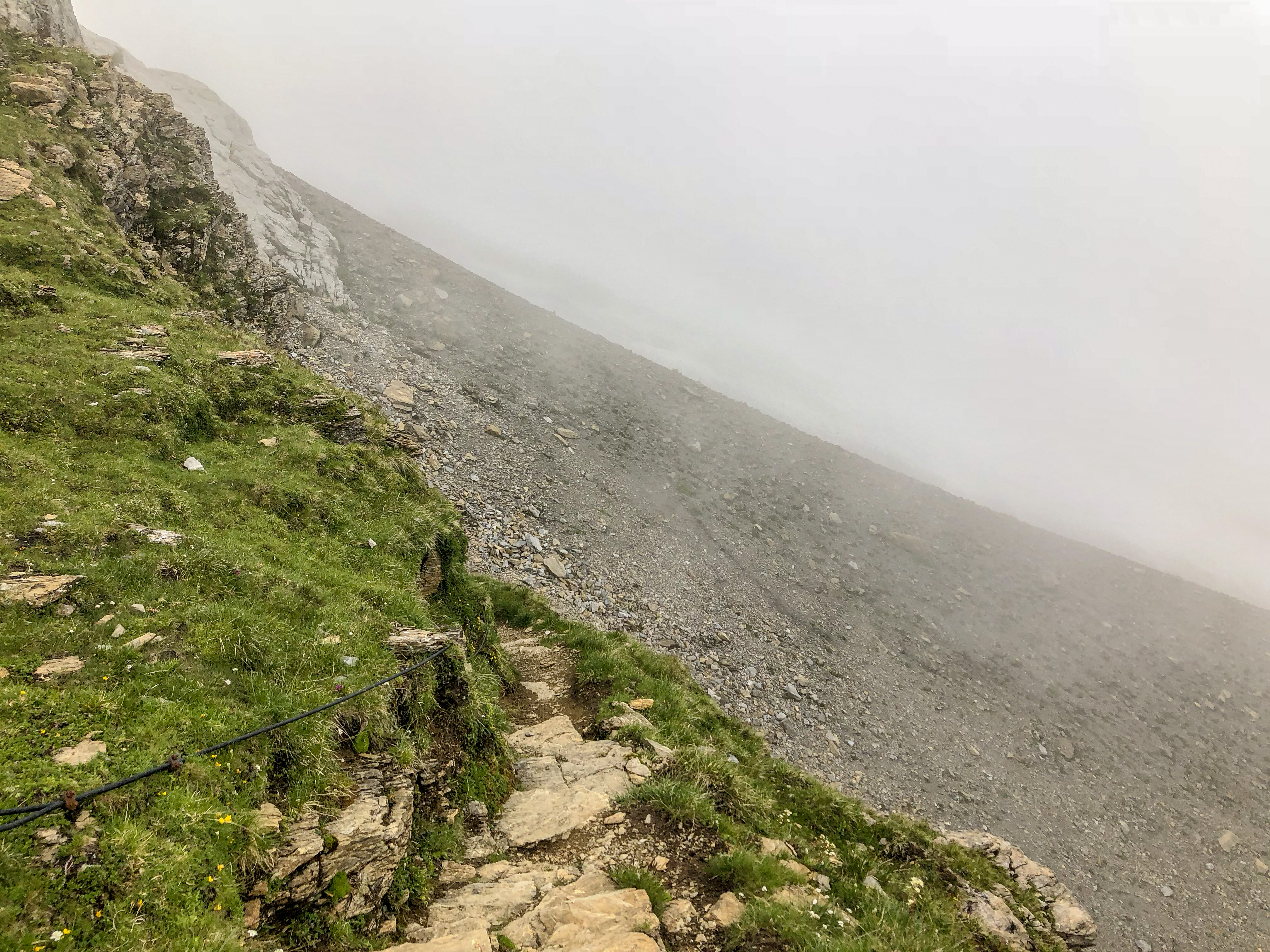
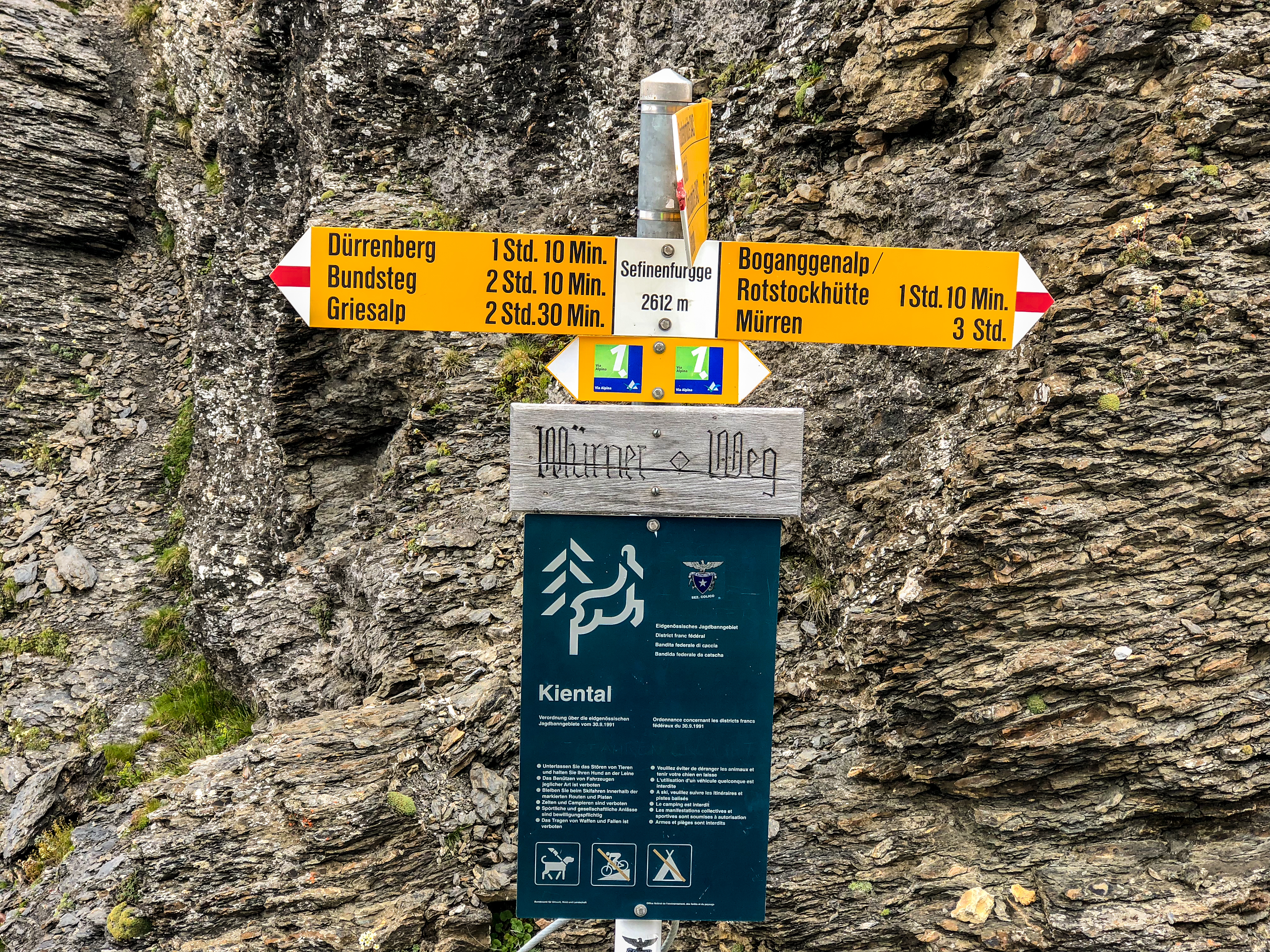
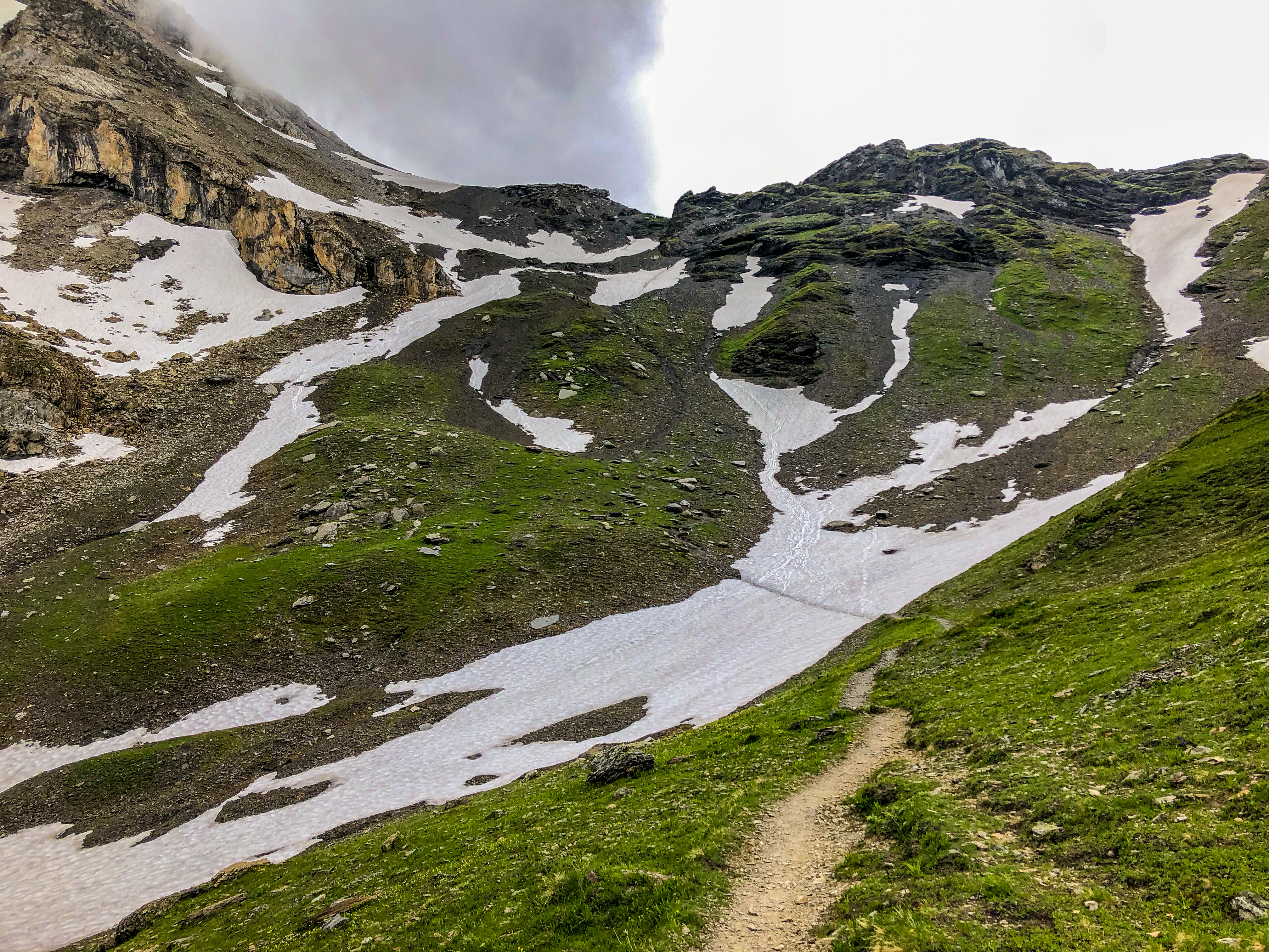
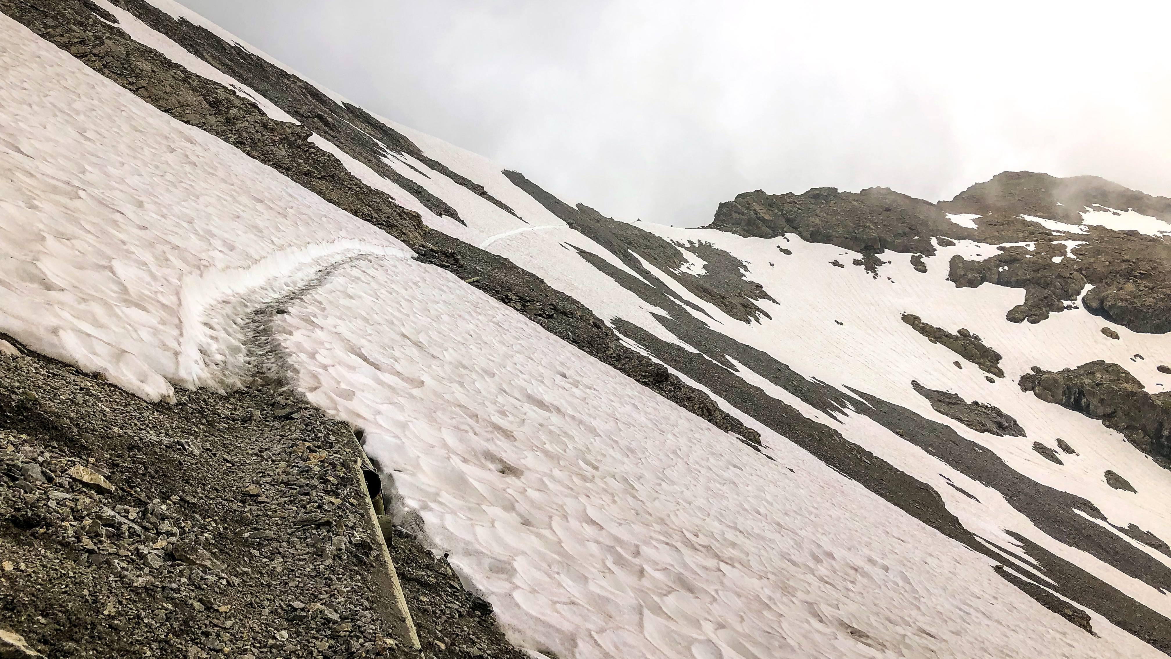
Leaving the Rotstockhütte, the trail climbed gently at times and more steeply at others up the valley toward the base of the Sefinenfurgge Pass. The trail became extremely steep up the pass, to the point it was difficult to walk or even stand without slipping. The trail had a consistency of wet clay from very recent snowmelt, but I was, with the aid of trekking poles, able to get just enough traction on my trail running shoes to progress upward. The snow had not yet melted completely away, and I had to cross a few remaining snowfields. The last one was particularly tough – so steep that I was in constant fear of slipping and falling. A knotted top-rope was rigged, but it was an elastic climbing rope that stretched when I pulled on it, so I didn’t find it helpful.
At last I made it to the top of that snowfield and after a couple more switchbacks I found myself at the top of the pass!
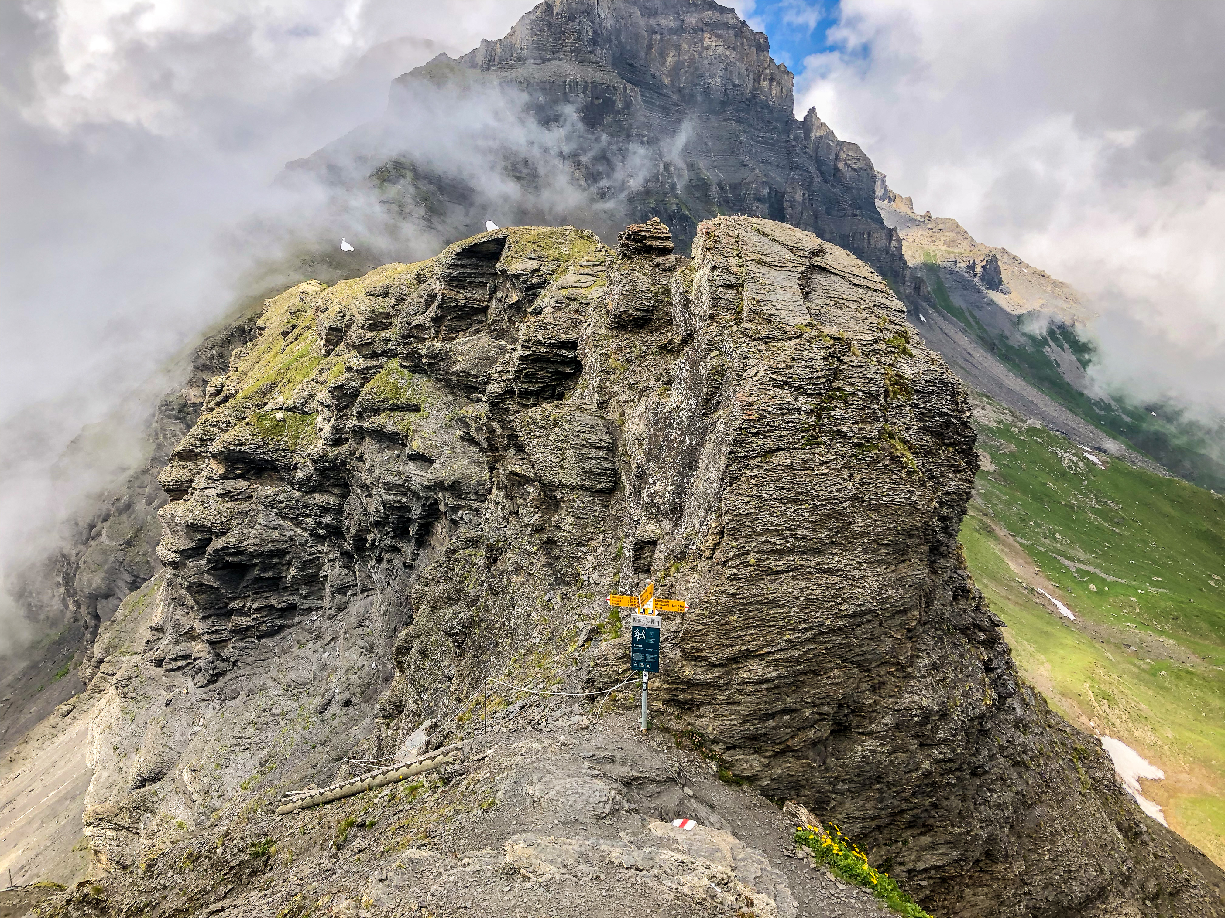
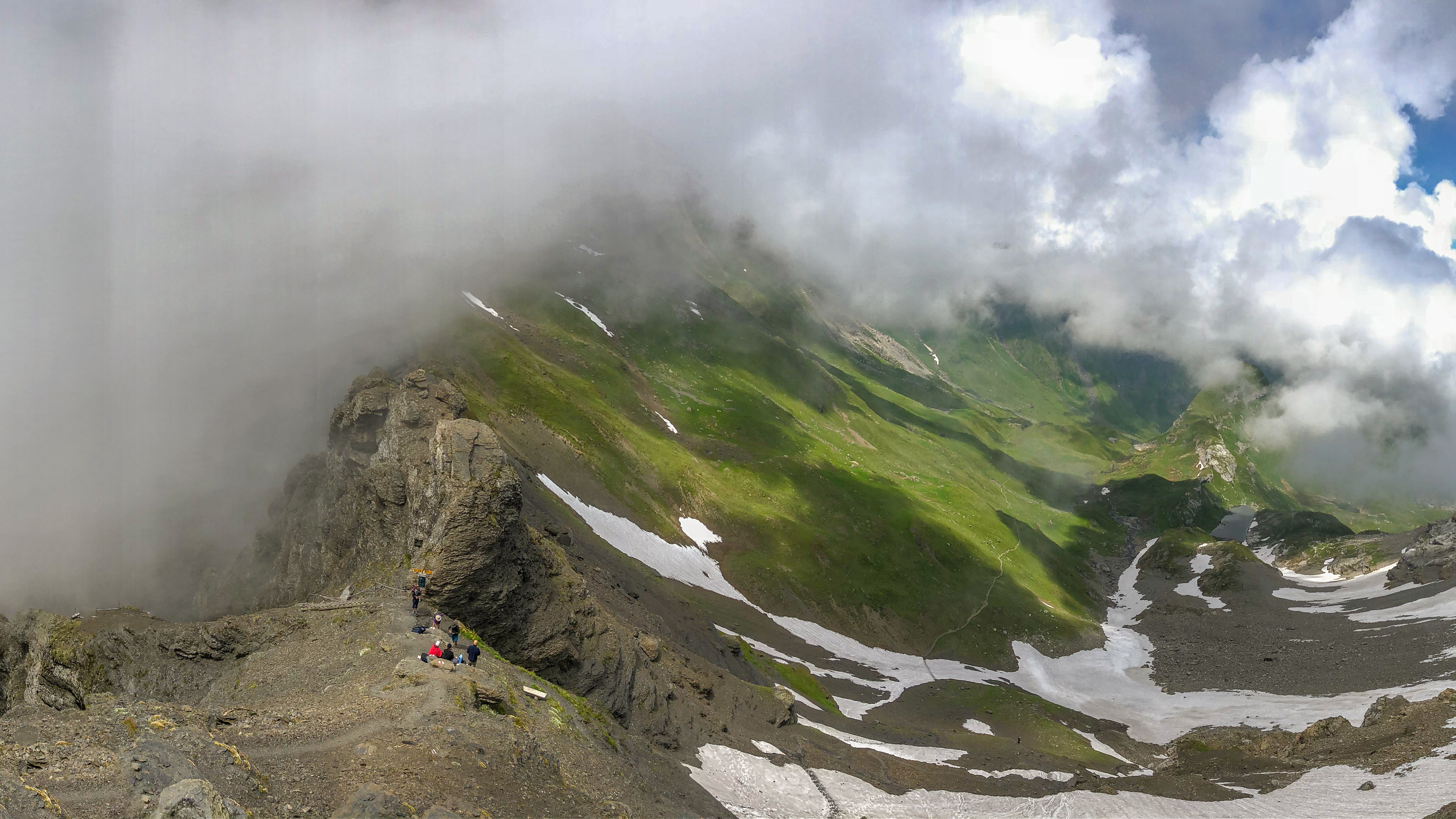
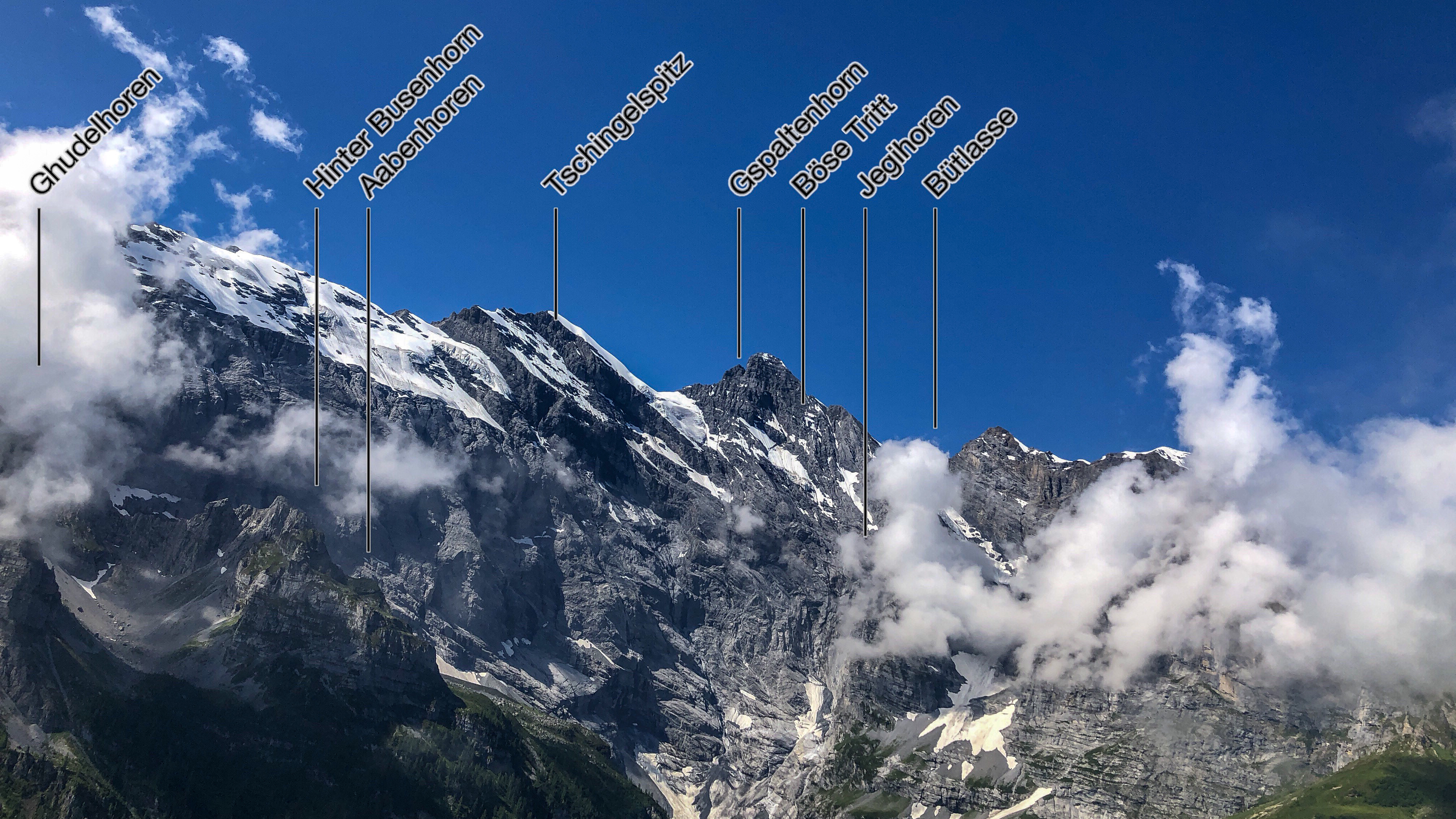
I took a few pictures and helped a girl up to the pass who was struggling after she was struck by a small falling rock. My route to the Gspaltenhornhütte departed the pass here at the summit, climbing further up the ridge to a saddle from where a long descent began. By now the clouds had closed in completely, dramatically reducing visibility and obscuring views to peaks above and valleys below – at times even obscuring the view of the next trail marker. The trail crossed a number of snowfields, on some of which I struggled to maintain traction. At one point the trail traversed a narrow ledge from which I could not see the base of the cliff below in the clouds. After downclimbing a vertical ladder, and traversing yet another steep snowfield where I repeatedly slipped and fell, I joined a family (shod in proper footwear) for the remaining couple miles.
The clouds
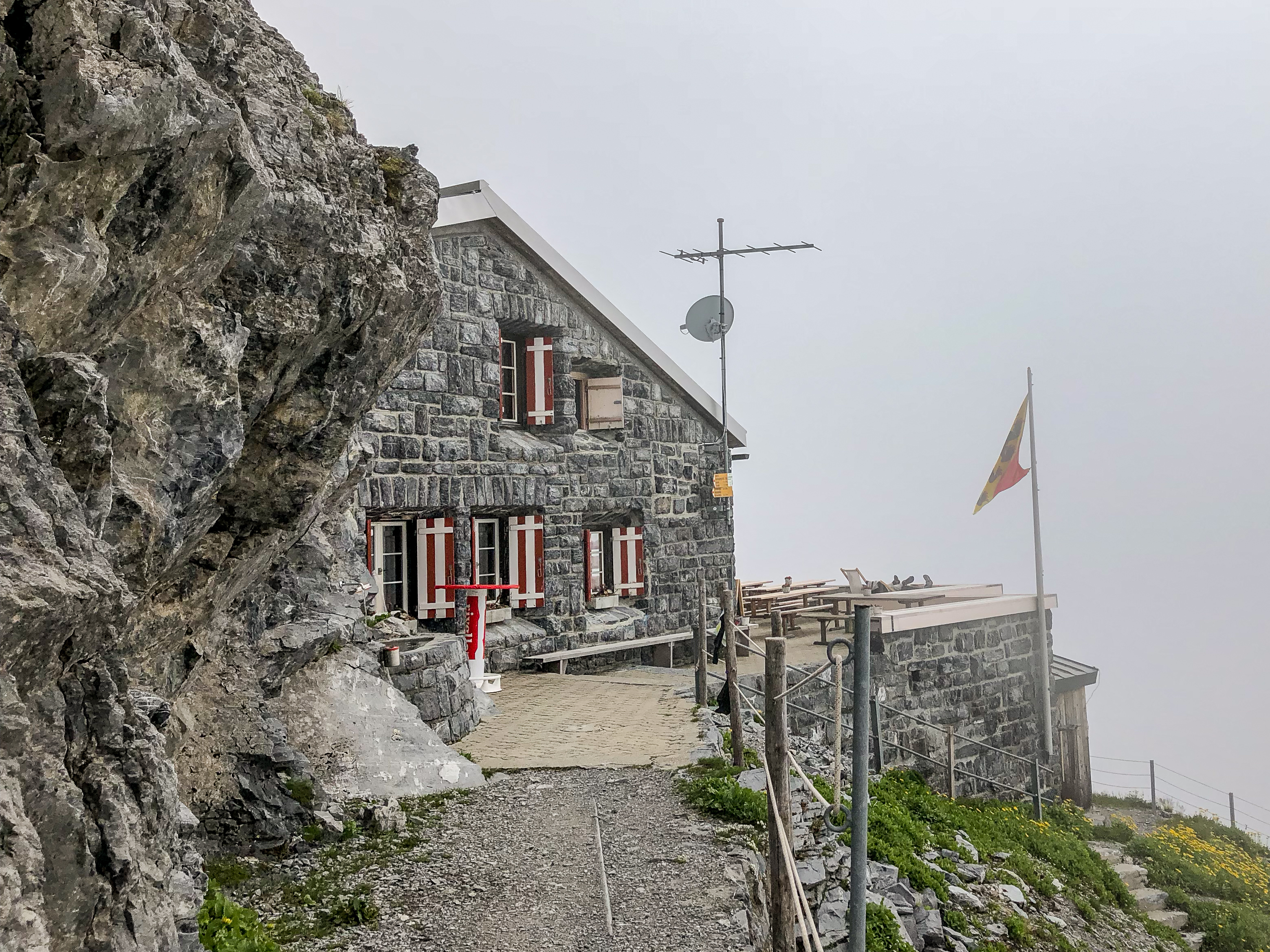
I checked in, and the hut warden commented “Oh, you’re the one from Beverly Hills – we’ve been waiting for you.” She was concerned about my choice of footwear, however (trail runners, not boots), and was surprised that I had come up over the Sefinenfurgge. The sleeping area was organized in rooms of 4 to 16 bunk beds, and mine was the only bed in the hut that night with a vacant bed next to it (perhaps a perk of being from BH).
We were all assigned to a table for dinner, and at my table was one other English-speaker – Graham, a British Expat now living in Thun. The food was simple but delicious and satisfying. Just after dessert, the clouds partially cleared, and we all went outside to snap pictures of a beautiful sunset, which disappeared after a few minutes as the clouds closed in again.