Category: Hiking
-
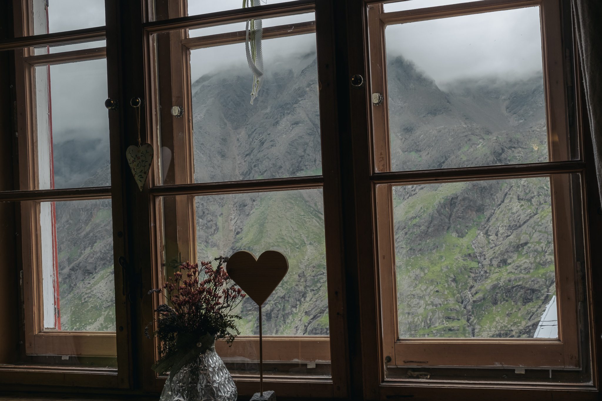
Nürnberger Hütte
Our fourth day in the Stubai alps, where I had to take a rest day.
-
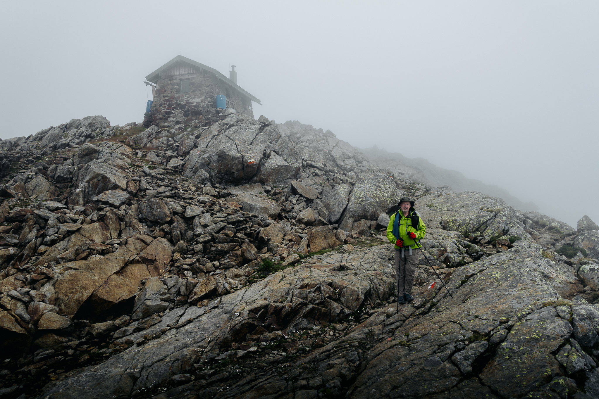
Bremer Hütte to Nürnberger Hütte
Our third day of hiking in the Stubai alps, from the Bremer Hut, over the Simmingjochl pass, and on to the Nürnberger Hut.
-
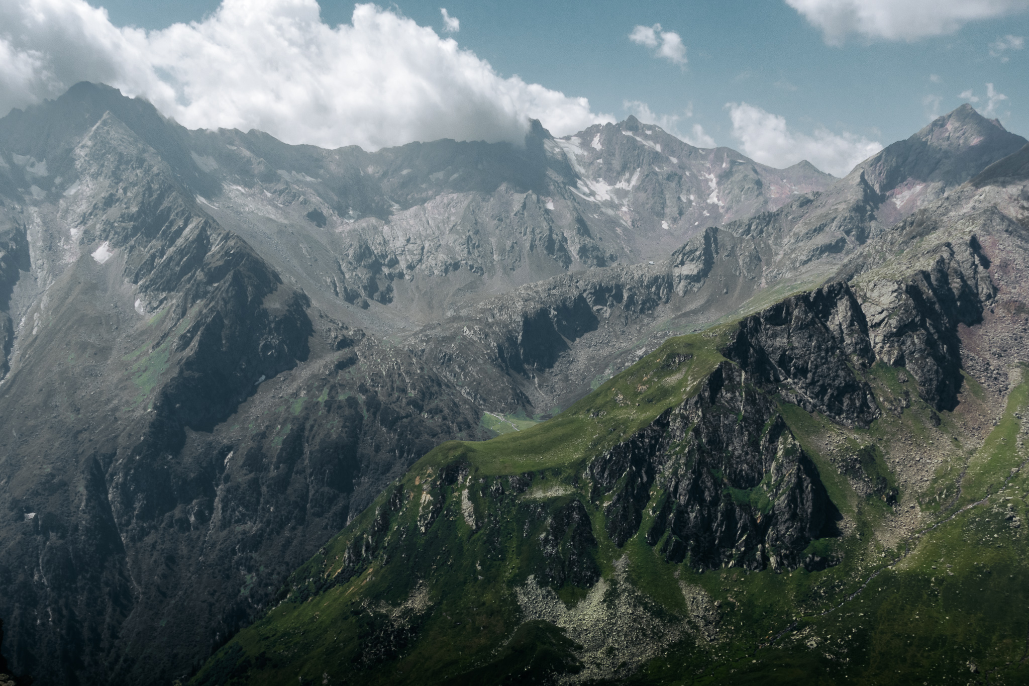
Innsbrucker Hütte to Bremer Hütte
Our second day of hiking in the Stubai alps, from the Innsbrucker Hut over to the Bremer Hut.
-
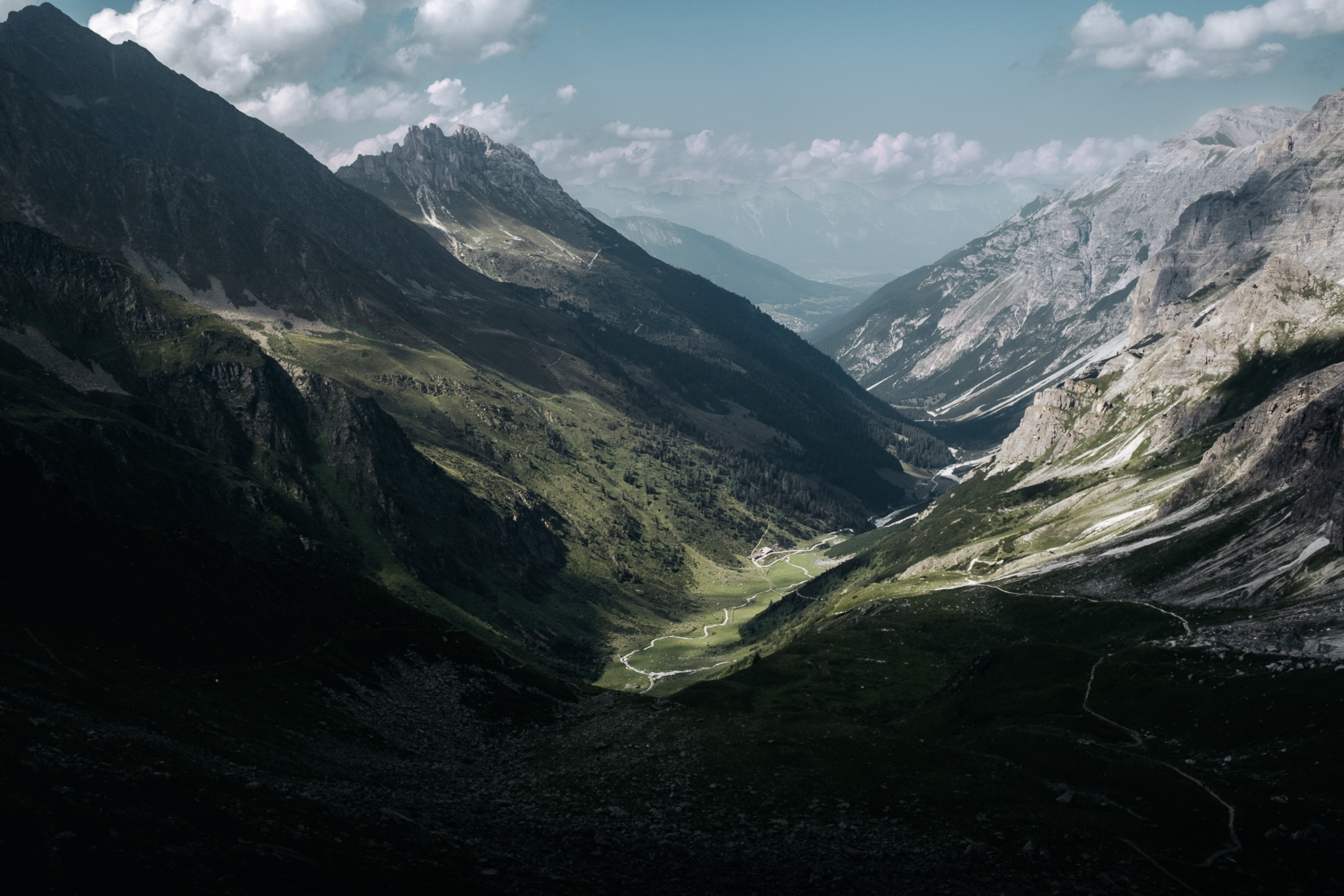
Neustift to Innsbrucker Hütte
Our first day of hiking in the Stubai alps, from Neustift im Stubaital up to the Innsbrucker Hut.
-
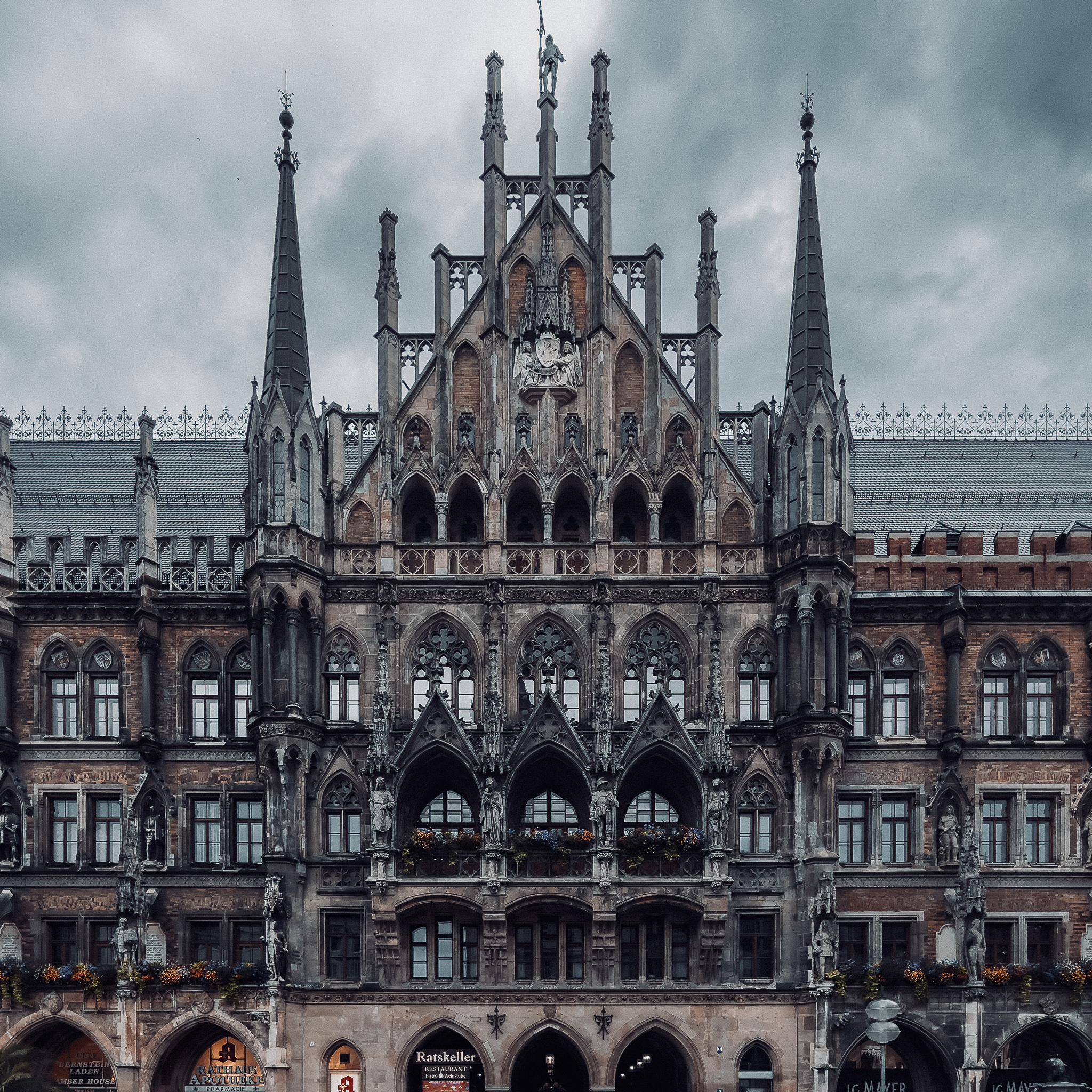
München, Deutschland 🇩🇪 to Neustift, Österreich 🇦🇹
A morning of sightseeing in München Alstadt (Munich Old City) and an afternoon of travel to the village of Neustift im Stubaital in the mountainous Österreichisch (Austrian) state of Tirol.
-

Travel to München (Munich)
I flew from New Orleans (MSY) to München (MUC) to start my 11 day hiking/backpacking trip in the Stubai alps of Tirol, Austria.
-
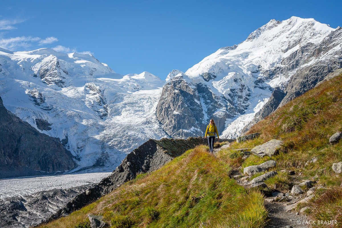
Swiss Bernina Alps Planned Itinerary
I planned 10 days of hiking among 4,000 meter high peaks, crossing glaciers, sleeping in alpine huts and picturesque villages in the Bernina Alps in the Graubünden canton of southeast Switzerland, along the border with Italy. 2 additional days were open for rest days, sight-seeing, or side trips. But two days before we were to…
-
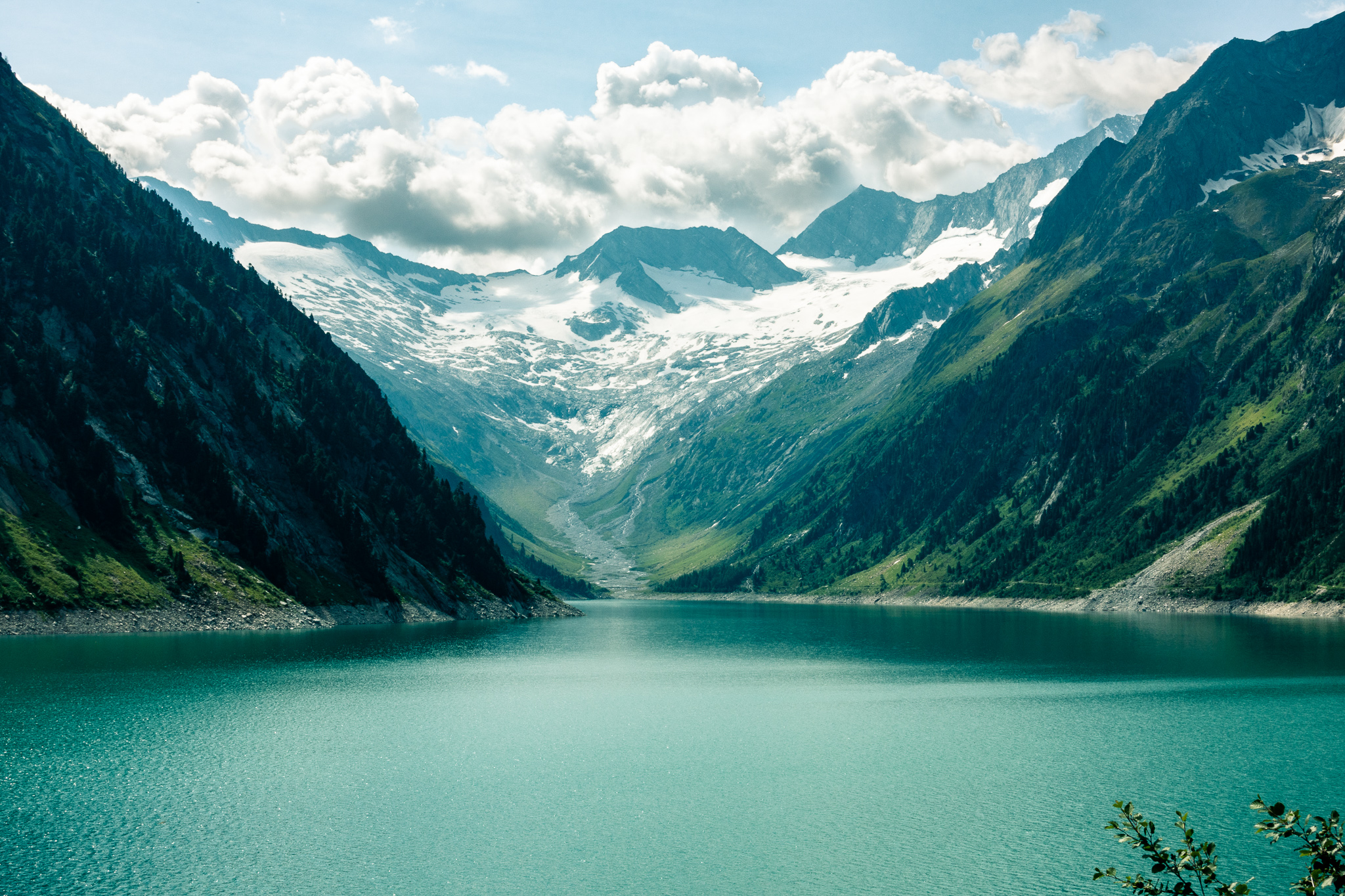
Zillertal Alps
We trekked hut-to-hut through Austria’s Zillertal Alps near the Italian border, spending a couple of nights in the hamlet of Ginzling before three days on the Berliner Höhenweg (Berlin high trail).
-

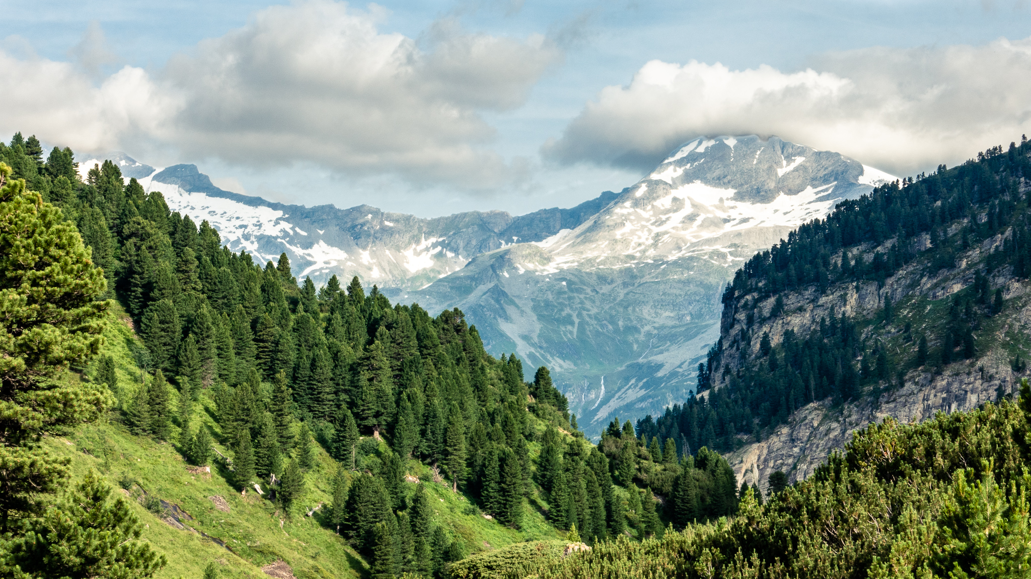
Silvretta Alps
Allan and I trekked hut-to-hut through Austria’s Silvretta Alps near the Italian border, beginning in the town of Gaschurn in the state of Vorarlberg and finishing at the Jamtalhütte in Tirol.
-
Breitlahner
A pleasant stroll from the Berliner Hütte down to Breitlahner, where our hiking ends. From here we travel back to Jenbach where we part ways.
-

Schönbichler Horn
Our highest crossing on this trip: the 3,134m (10,282 ft) Schönbichler Horn. This section of the Berliner Höhenweg starts at the Furtschaglhaus and ends at the Berliner Hütte, the Grand Dame of the Zillertal huts.
-
Furtschaglhaus
A short but steep hike from the Schlegeis Stausee to the Furtschaglhaus hut.